
| Memorials | : | 0 |
| Location | : | Jefferson County, USA |
| Coordinate | : | 38.0921200, -85.8152100 |
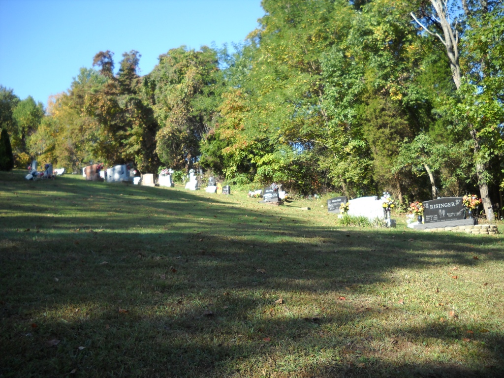
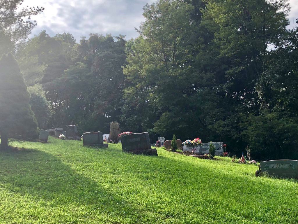
| Description | : | At the Stonestreed Road exit off the Gene Snyder Freeway, travel southwest on Stonestreet Road for .6 miles. Turn left on Blevins Gap Road and travel for .7 miles. Turn right on Bearcamp Road and travel for .4 miles. Turn right on paved road and travel 344 yards. Cemetery straight ahead. As of Mar 2015, all headstones, markers, and monuments have been photographed. At that time there were, at a minimum, seven unmarked graves indicated by field stone. |
frequently asked questions (FAQ):
-
Where is Risinger Cemetery?
Risinger Cemetery is located at Jefferson County ,Kentucky ,USA.
-
Risinger Cemetery cemetery's updated grave count on graveviews.com?
0 memorials
-
Where are the coordinates of the Risinger Cemetery?
Latitude: 38.0921200
Longitude: -85.8152100
Nearby Cemetories:
1. Penile Cemetery
Penile, Jefferson County, USA
Coordinate: 38.1056920, -85.8066440
2. Miller-Alsop Cemetery
Valley Station, Jefferson County, USA
Coordinate: 38.0990390, -85.8481360
3. Arnoldtown Cemetery
Jefferson County, USA
Coordinate: 38.1231300, -85.8048300
4. Herbert Cemetery
Louisville, Jefferson County, USA
Coordinate: 38.1232400, -85.8043300
5. Mitchell Hill Cemetery
Fairdale, Jefferson County, USA
Coordinate: 38.0769000, -85.7725500
6. Best Family Cemetery
Louisville, Jefferson County, USA
Coordinate: 38.1158470, -85.7775500
7. Christian Assembly Church Cemetery
Louisville, Jefferson County, USA
Coordinate: 38.1200530, -85.8536760
8. Horine Cemetery #2
Bullitt County, USA
Coordinate: 38.0527783, -85.8312483
9. Beth Haven Cemetery
Louisville, Jefferson County, USA
Coordinate: 38.1206400, -85.8543780
10. McDowell Cemetery
Valley Station, Jefferson County, USA
Coordinate: 38.0958500, -85.8697170
11. Pioneer Cemetery
Valley Station, Jefferson County, USA
Coordinate: 38.0958500, -85.8697170
12. Christian Harshfield Cemetery
Brooks, Bullitt County, USA
Coordinate: 38.0492400, -85.8096080
13. Gagel Family Cemetery
Jefferson County, USA
Coordinate: 38.1359740, -85.8177920
14. Meadow View Cemetery
Valley Station, Jefferson County, USA
Coordinate: 38.0901780, -85.8721930
15. Bethany Memorial Cemetery
Louisville, Jefferson County, USA
Coordinate: 38.0956001, -85.8722000
16. McCawley Cemetery
Valley Station, Jefferson County, USA
Coordinate: 38.0942330, -85.8723330
17. Morgan-Smoot Cemetery
Fairdale, Jefferson County, USA
Coordinate: 38.0952300, -85.7547100
18. Hurst Family Cemetery
Brooks, Bullitt County, USA
Coordinate: 38.0456150, -85.7972380
19. Mount Holly Cemetery
Fairdale, Jefferson County, USA
Coordinate: 38.1006012, -85.7536011
20. Horine Cemetery #3
Bullitt County, USA
Coordinate: 38.0639670, -85.7614670
21. Christian Barrall Family Cemetery
Brooks, Bullitt County, USA
Coordinate: 38.0405810, -85.7998580
22. Klapper Beghtol Family Cemetery
Shepherdsville, Bullitt County, USA
Coordinate: 38.0513900, -85.7683650
23. Crosswater Gardens Cemetery
Louisville Corner, St. Lawrence County, USA
Coordinate: 38.1474887, -85.8159103
24. Pendleton Cemetery
Bullitt County, USA
Coordinate: 38.0443993, -85.8510971