
| Memorials | : | 3 |
| Location | : | Crawford, Wyandot County, USA |
| Coordinate | : | 40.9233800, -83.3288000 |
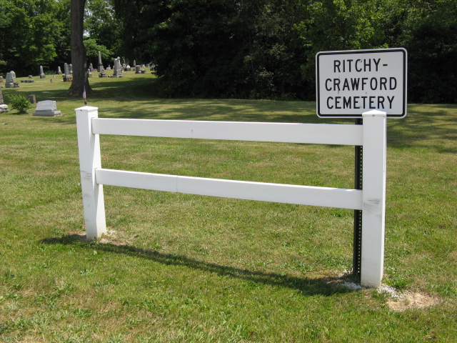
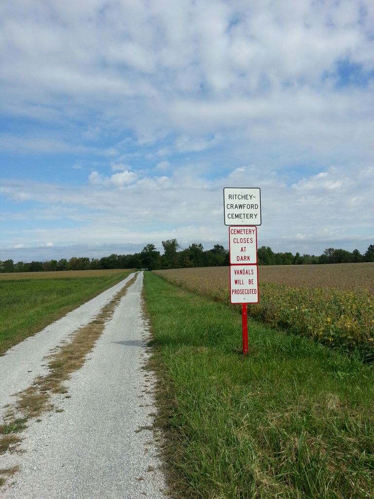
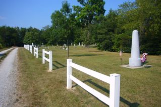
| Description | : | The cemetery is located on the east side of Township Road 300 about 0.25 miles north of its intersection with County Road 29. The cemetery is located in Crawford Township, Wyandot County, Ohio, and is # 14777 (Ritchey Cemetery / Crawford Cemetery) and includes # 12944 (Colonel Crawford Memorial) in “Ohio Cemeteries 1803-2003”, compiled by the Ohio Genealogical Society. The cemetery is registered with the Ohio Division of Real Estate and Professional Licensing (ODRE) as Ritchy-Crawford Cemetery with registration license number CGR.0000982483. The U.S. Geological Survey (USGS) Geographic Names Information System (GNIS) feature ID for the cemetery is... Read More |
frequently asked questions (FAQ):
-
Where is Ritchy-Crawford Cemetery?
Ritchy-Crawford Cemetery is located at Township Toad 300 Crawford, Wyandot County ,Ohio , 43316USA.
-
Ritchy-Crawford Cemetery cemetery's updated grave count on graveviews.com?
3 memorials
-
Where are the coordinates of the Ritchy-Crawford Cemetery?
Latitude: 40.9233800
Longitude: -83.3288000
Nearby Cemetories:
1. Hetzel Cemetery
Wyandot County, USA
Coordinate: 40.9366100, -83.3010800
2. Smith Cemetery
Crawford, Wyandot County, USA
Coordinate: 40.9432150, -83.3053030
3. Gibson Cemetery
Tymochtee, Wyandot County, USA
Coordinate: 40.9328520, -83.2934010
4. Beaver Cemetery
Tymochtee, Wyandot County, USA
Coordinate: 40.9440640, -83.3009850
5. Berry Cemetery
Tymochtee, Wyandot County, USA
Coordinate: 40.9458810, -83.3005580
6. Kear Cemetery
Tymochtee, Wyandot County, USA
Coordinate: 40.9528300, -83.2888100
7. Infirmary Cemetery
Upper Sandusky, Wyandot County, USA
Coordinate: 40.8795400, -83.3221470
8. Carey Association Cemetery
Carey, Wyandot County, USA
Coordinate: 40.9488857, -83.3802392
9. North Salem Lutheran Church Cemetery
Upper Sandusky, Wyandot County, USA
Coordinate: 40.8756100, -83.3471400
10. Baker Cemetery
Carey, Wyandot County, USA
Coordinate: 40.9730988, -83.3324966
11. Saint Joseph's Cemetery
Lovell, Wyandot County, USA
Coordinate: 40.8767200, -83.3574200
12. England Cemetery
Carey, Wyandot County, USA
Coordinate: 40.9211006, -83.4002991
13. Saint Marys Cemetery
Carey, Wyandot County, USA
Coordinate: 40.9641991, -83.3780975
14. Dunaway Cemetery
Lovell, Wyandot County, USA
Coordinate: 40.8975220, -83.3987190
15. Spring Grove Cemetery
Carey, Wyandot County, USA
Coordinate: 40.9696999, -83.3824997
16. McKenzie Cemetery
Crawford, Wyandot County, USA
Coordinate: 40.9853860, -83.3191660
17. Cutting Cemetery
Wyandot County, USA
Coordinate: 40.9225561, -83.2435309
18. Stalter Cemetery
Belle Vernon, Wyandot County, USA
Coordinate: 40.9203260, -83.2415822
19. Dunn Cemetery
Wyandot County, USA
Coordinate: 40.9766998, -83.2742004
20. Baughman Cemetery
Wyandot County, USA
Coordinate: 40.8718987, -83.3983002
21. Smithville Cemetery
Smithville, Wyandot County, USA
Coordinate: 40.8914500, -83.2368600
22. Chief Tarhe Monument
Upper Sandusky, Wyandot County, USA
Coordinate: 40.8619310, -83.2673790
23. Nine Oaks Cemetery
Upper Sandusky, Wyandot County, USA
Coordinate: 40.8472716, -83.2973859
24. Wentz Cemetery
Wharton, Wyandot County, USA
Coordinate: 40.8899994, -83.4246979