
| Memorials | : | 0 |
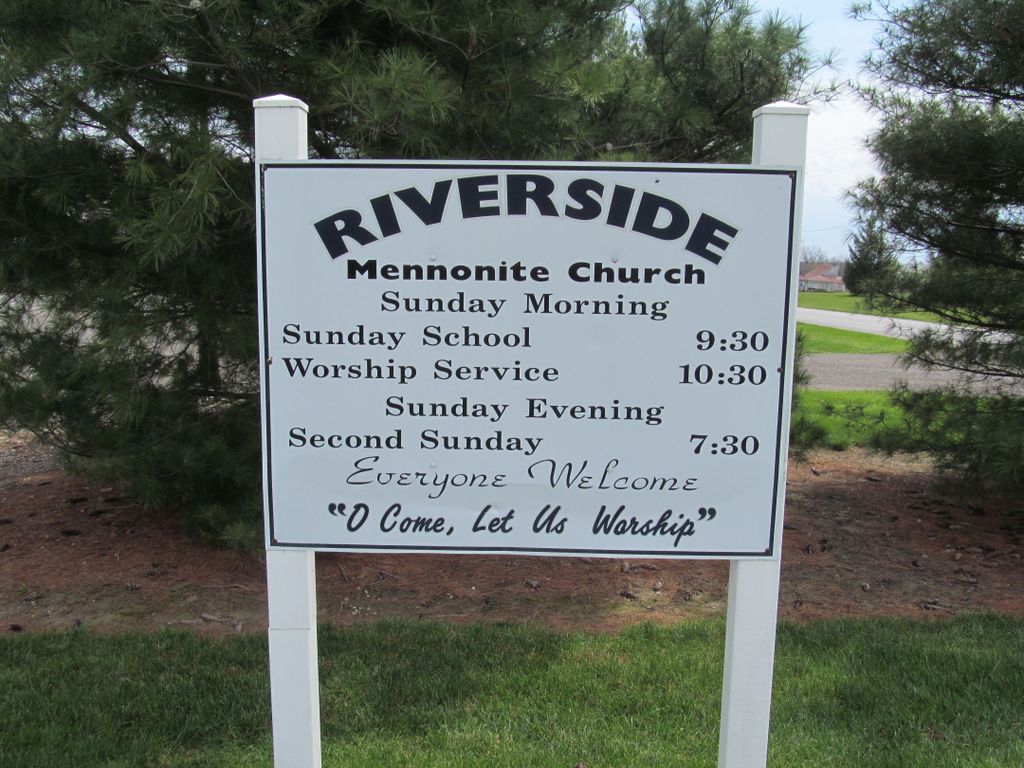
| Location | : | Kenton, Hardin County, USA |
| Coordinate | : | 40.6605000, -83.6538690 |
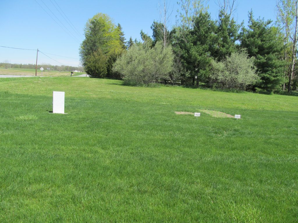
| Description | : | The cemetery is located by the church on the southeast corner of the intersection of Township Road 135 and County Road 106. The cemetery is registered with the Ohio Division of Real Estate and Professional Licensing (ODRE) as Riverside Mennonite Church Cemetery with registration license number CBR.2007004678. |
frequently asked questions (FAQ):
-
Where is Riverside Mennonite Church Cemetery?
Riverside Mennonite Church Cemetery is located at 10930 Township Road 135 Kenton, Hardin County ,Ohio , 43326USA.
-
Riverside Mennonite Church Cemetery cemetery's updated grave count on graveviews.com?
0 memorials
-
Where are the coordinates of the Riverside Mennonite Church Cemetery?
Latitude: 40.6605000
Longitude: -83.6538690
Nearby Cemetories:
1. Fort McArthur Cemetery
Kenton, Hardin County, USA
Coordinate: 40.6621700, -83.6714940
2. Hardin County Home Cemetery
Kenton, Hardin County, USA
Coordinate: 40.6500015, -83.6363983
3. Fulton Cemetery
Kenton, Hardin County, USA
Coordinate: 40.6850014, -83.6921997
4. Cessna Cemetery
Hardin County, USA
Coordinate: 40.6991580, -83.6570080
5. Pioneer Cemetery
Kenton, Hardin County, USA
Coordinate: 40.6454810, -83.5987000
6. Saint Marys Cemetery
Kenton, Hardin County, USA
Coordinate: 40.6464005, -83.5894012
7. Grove Cemetery
Kenton, Hardin County, USA
Coordinate: 40.6464005, -83.5871964
8. Salem Cemetery
Hardin County, USA
Coordinate: 40.7180830, -83.6583570
9. Norman Cemetery
Kenton, Hardin County, USA
Coordinate: 40.5983009, -83.6710968
10. Gunn Cemetery
Kenton, Hardin County, USA
Coordinate: 40.6020790, -83.7209190
11. Hatcher Cemetery
Hardin County, USA
Coordinate: 40.6029160, -83.5767210
12. Smith Cemetery
Hardin County, USA
Coordinate: 40.7327995, -83.7108002
13. Spitzer Cemetery
Hardin County, USA
Coordinate: 40.6776440, -83.5430820
14. Cessna-Obenour Cemetery
Hardin County, USA
Coordinate: 40.7291610, -83.7237600
15. Wolf Creek Cemetery
Kenton, Hardin County, USA
Coordinate: 40.5940770, -83.5694150
16. Grant Cemetery
Grant, Hardin County, USA
Coordinate: 40.7242012, -83.5607986
17. Fultz Cemetery
Jumbo, Hardin County, USA
Coordinate: 40.6002680, -83.7542460
18. Huntersville Cemetery
Hardin County, USA
Coordinate: 40.7224998, -83.7630997
19. Sieg Cemetery
Hardin County, USA
Coordinate: 40.5539017, -83.6532974
20. Hickory Grove Amish Cemetery
Kenton, Hardin County, USA
Coordinate: 40.6001480, -83.5378330
21. Hall Family Cemetery
Hardin County, USA
Coordinate: 40.7620750, -83.5952380
22. Amish-Grassy Point Cemetery
Kenton, Hardin County, USA
Coordinate: 40.5592750, -83.5870240
23. Morrison Cemetery
Hardin County, USA
Coordinate: 40.6233500, -83.5114300
24. Dunkirk Cemetery
Dunkirk, Hardin County, USA
Coordinate: 40.7764015, -83.6417007