
| Memorials | : | 9 |
| Location | : | Wilsonville, Clackamas County, USA |
| Coordinate | : | 45.3504730, -122.7237840 |
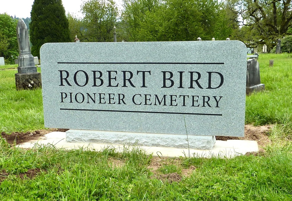
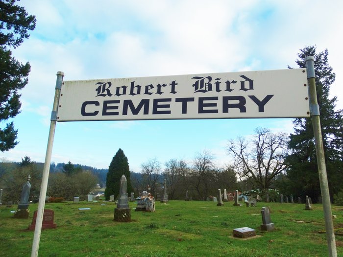
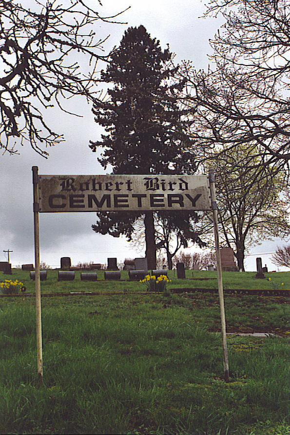
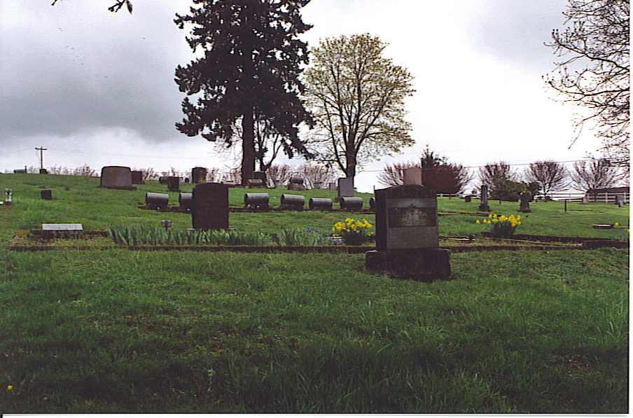
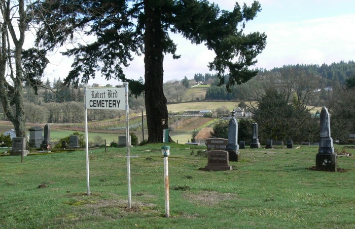
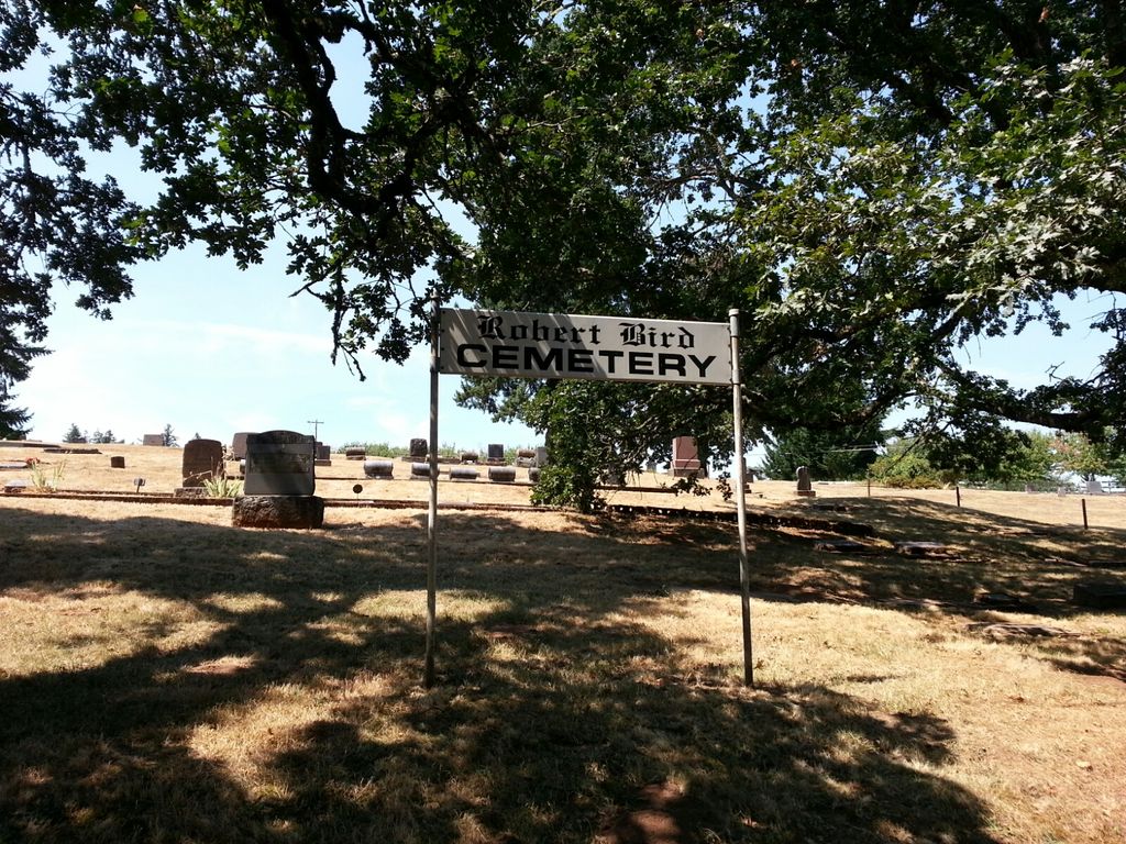
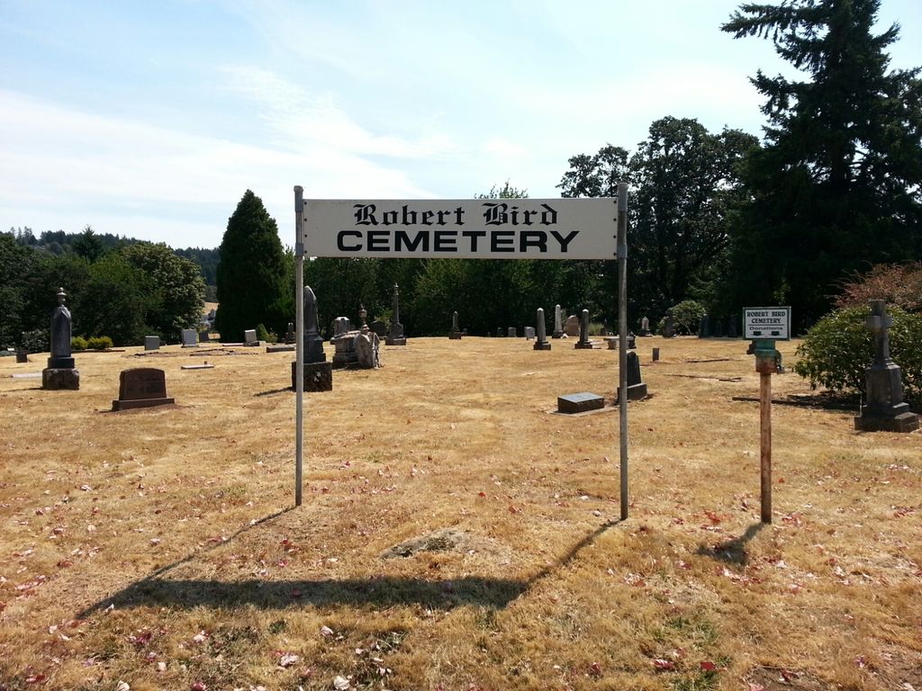
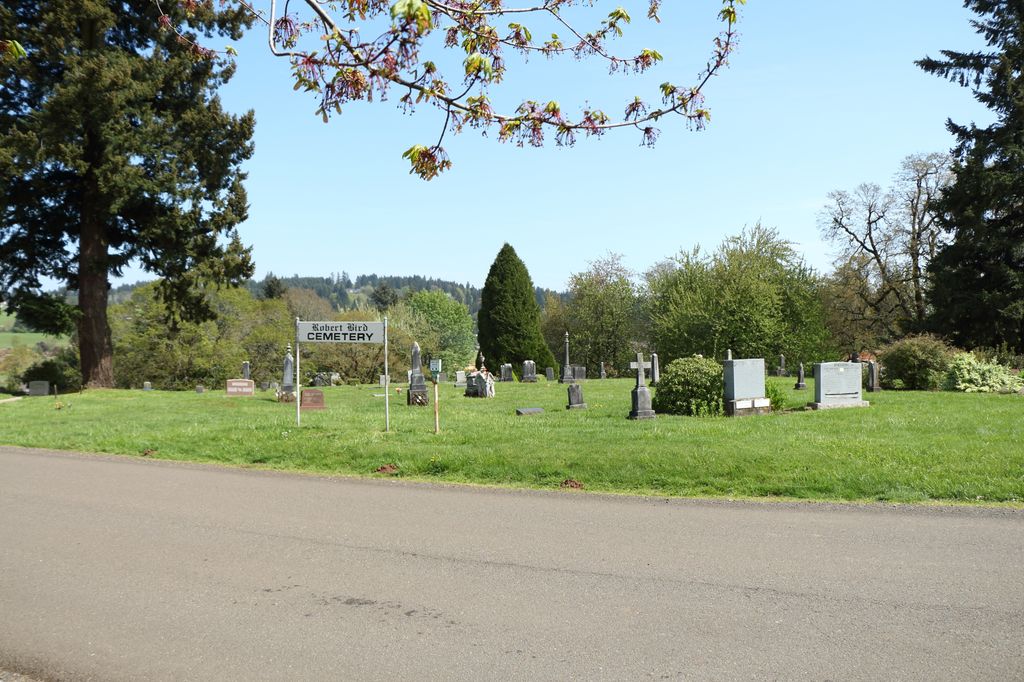
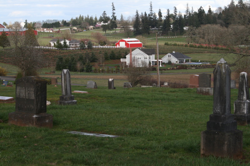
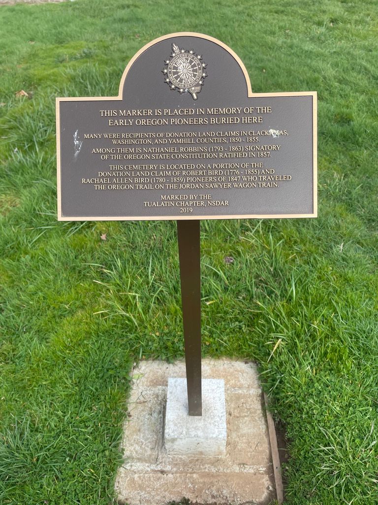
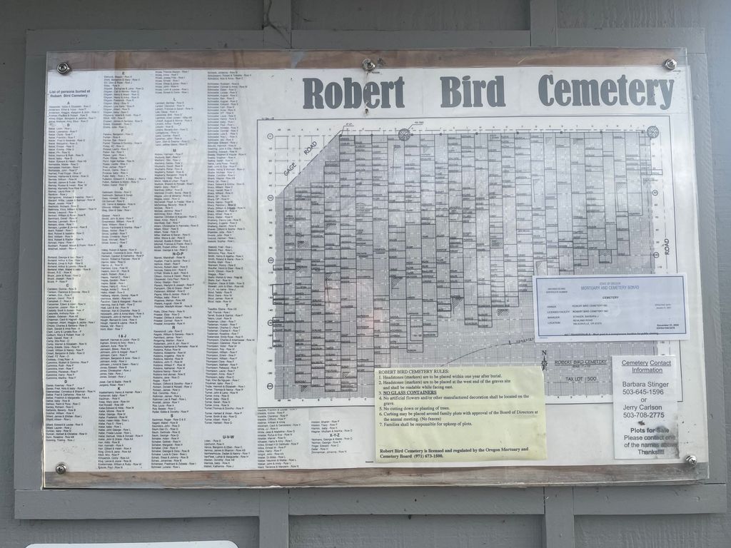
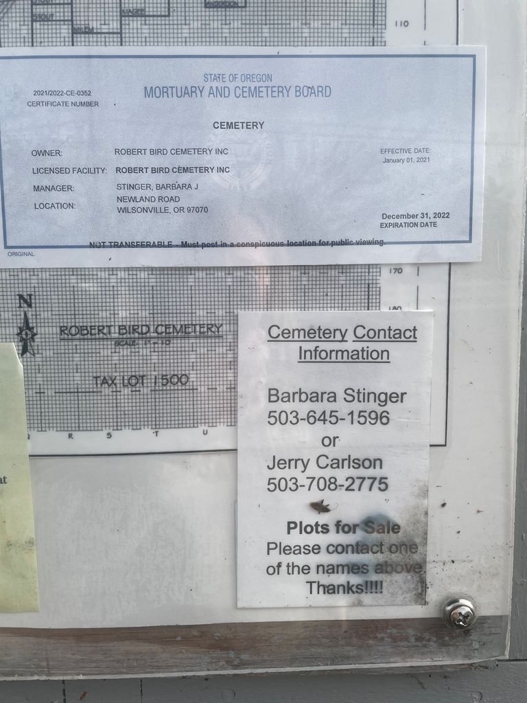
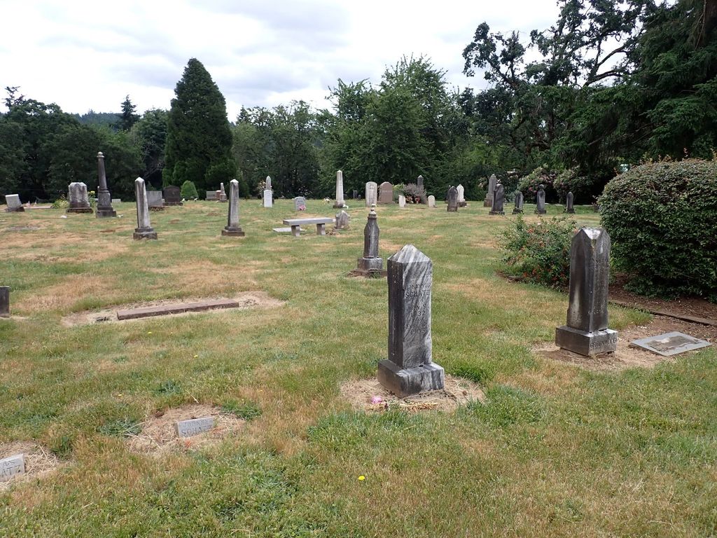
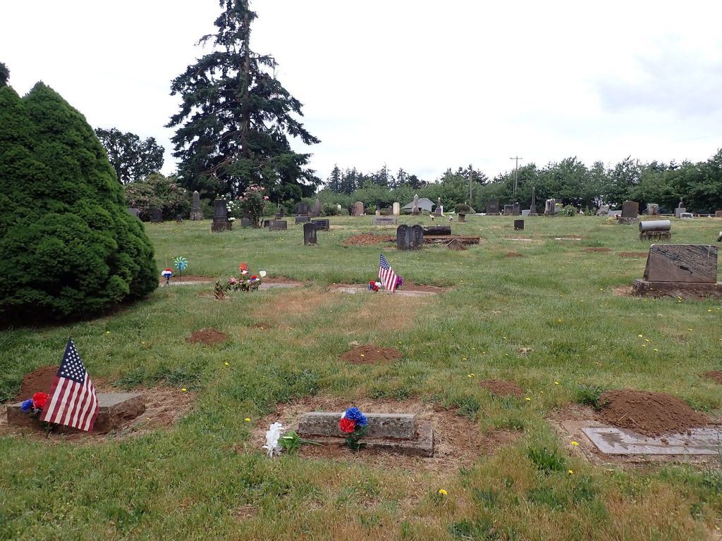
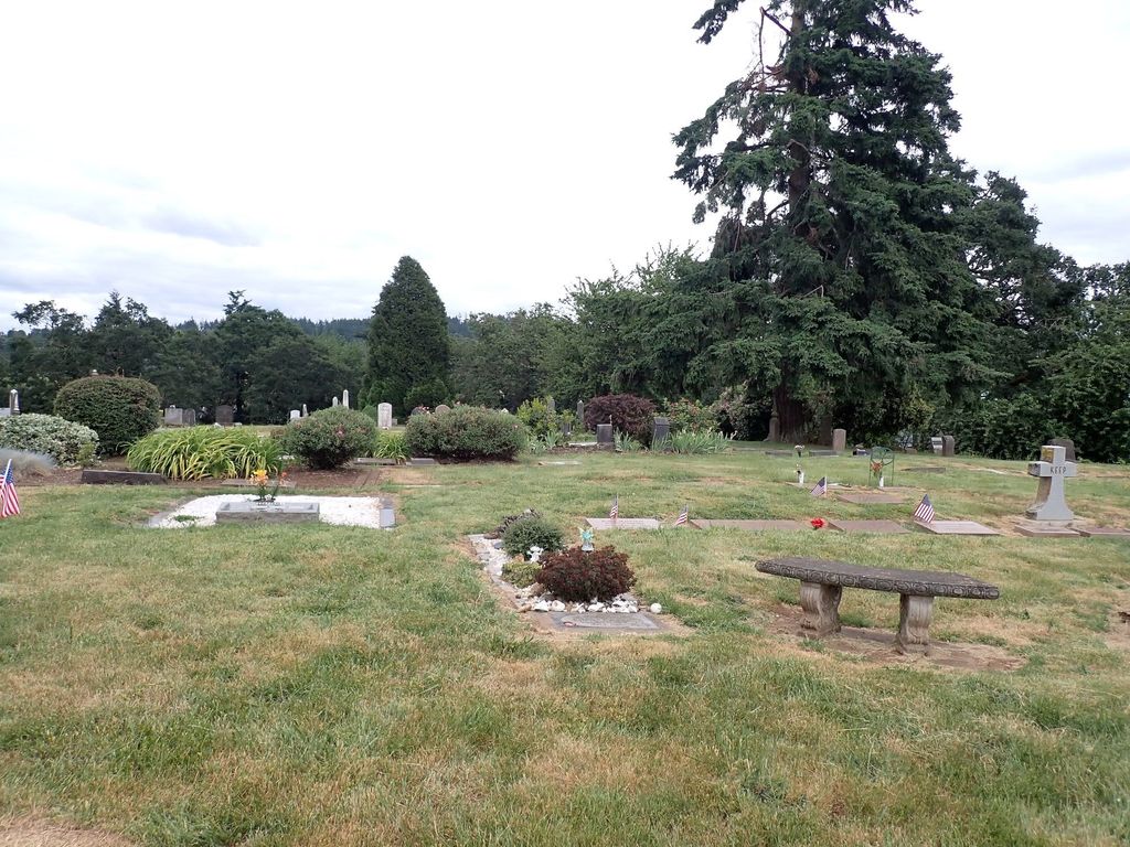
| Description | : | Land for the cemetery was donated by Robert and Rachel Bird, early Oregon pioneers. It started as a pioneer cemetery in the Stafford community of Clackamas County, Oregon bordered by Gage Road and Newland Road. Although it contains many pioneer graves it is still an active cemetery. The caretaker shed and small parking lot are located at the top of the property along Gage Road. A plot map and list of internments is posted on the shed. The rows run north to south, with row A close to Gage road, Row X close to Newland Road.... Read More |
frequently asked questions (FAQ):
-
Where is Robert Bird Cemetery?
Robert Bird Cemetery is located at SW Gage Road Wilsonville, Clackamas County ,Oregon , 97070USA.
-
Robert Bird Cemetery cemetery's updated grave count on graveviews.com?
8 memorials
-
Where are the coordinates of the Robert Bird Cemetery?
Latitude: 45.3504730
Longitude: -122.7237840
Nearby Cemetories:
1. Stafford Baptist Church Cemetery
Clackamas County, USA
Coordinate: 45.3514330, -122.7228020
2. Meridian Cemetery
Tualatin, Washington County, USA
Coordinate: 45.3438900, -122.7446900
3. Perrin Burial Plot
Clackamas County, USA
Coordinate: 45.3441240, -122.6579710
4. Winona Cemetery
Tualatin, Washington County, USA
Coordinate: 45.3894005, -122.7771988
5. Sacred Heart Cemetery
Lake Oswego, Clackamas County, USA
Coordinate: 45.4002991, -122.6830978
6. Oswego Pioneer Cemetery
Lake Oswego, Clackamas County, USA
Coordinate: 45.4011240, -122.6832380
7. Canemah Historic Pioneer Cemetery
Canemah, Clackamas County, USA
Coordinate: 45.3418650, -122.6322650
8. Holy Names Cemetery
Marylhurst, Clackamas County, USA
Coordinate: 45.3970000, -122.6500000
9. Draper Family Cemetery
Oregon City, Clackamas County, USA
Coordinate: 45.3455200, -122.6238700
10. Saint Francis of Assisi Episcopal Memorial Garden
Wilsonville, Clackamas County, USA
Coordinate: 45.2824980, -122.7673960
11. Saint Patricks Cemetery
Canby, Clackamas County, USA
Coordinate: 45.2923250, -122.6541990
12. Pleasant View Cemetery
Hoodview, Clackamas County, USA
Coordinate: 45.3181000, -122.8228000
13. Christ Church Episcopal Parish Memorial Garden
Lake Oswego, Clackamas County, USA
Coordinate: 45.4198940, -122.6762630
14. Sunset Pioneer Cemetery
Tigard, Washington County, USA
Coordinate: 45.4152985, -122.7889023
15. McLoughlin House Gravesite
Oregon City, Clackamas County, USA
Coordinate: 45.3573260, -122.6057920
16. Saint Anthony Cemetery
Tigard, Washington County, USA
Coordinate: 45.4193993, -122.7949982
17. Baker Prairie Cemetery
Canby, Clackamas County, USA
Coordinate: 45.2663570, -122.7002280
18. Saint John the Apostle Catholic Cemetery
Oregon City, Clackamas County, USA
Coordinate: 45.3386002, -122.5963974
19. Maple Lane Cemetery
Six Corners, Washington County, USA
Coordinate: 45.3711910, -122.8520340
20. Zoar Cemetery
Canby, Clackamas County, USA
Coordinate: 45.2675018, -122.6643982
21. Saint Paul Lutheran Cemetery
Sherwood, Washington County, USA
Coordinate: 45.3722000, -122.8542023
22. Barlow Pioneer Cemetery
Barlow, Clackamas County, USA
Coordinate: 45.2555620, -122.7227760
23. Mountain View Cemetery
Oregon City, Clackamas County, USA
Coordinate: 45.3424988, -122.5888977
24. Zion Memorial Park
Canby, Clackamas County, USA
Coordinate: 45.2606900, -122.6680800