
| Memorials | : | 17 |
| Location | : | Madison County, USA |
| Coordinate | : | 45.6138992, -112.5100021 |
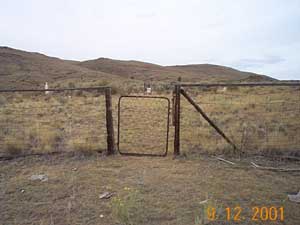
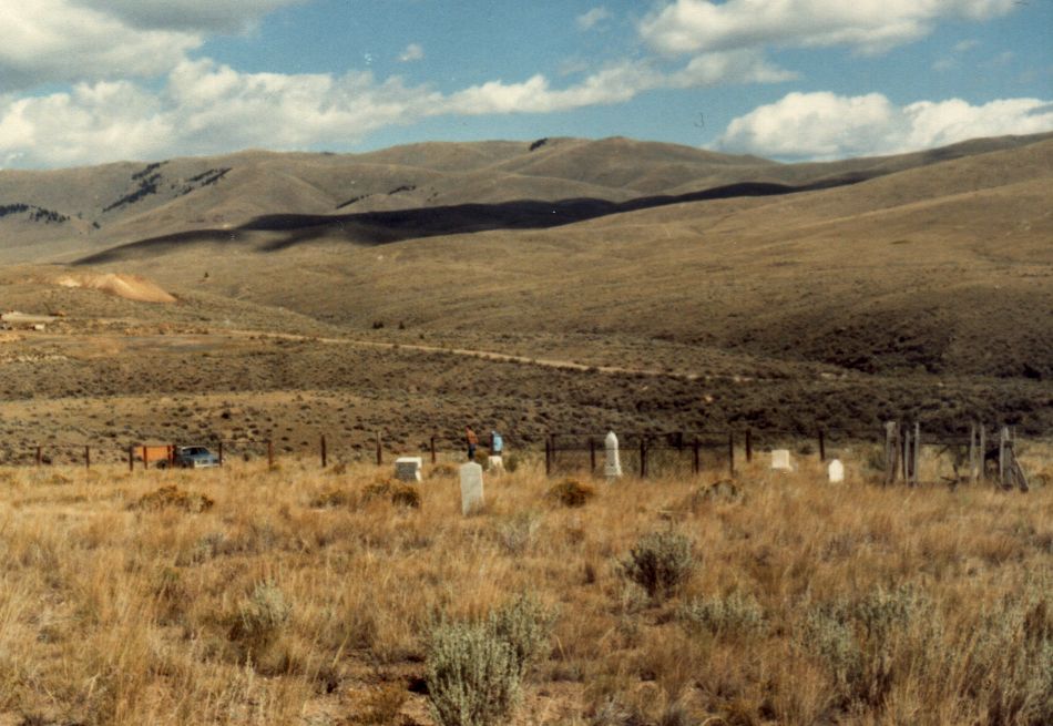
| Description | : | Directions: The Rochester Cemetery lies back in the hills to the west of town on unmarked dirt roads. The town grew and died with the mining era. The cemetery has been left to the elements. Ten markers simply read "unknown". A dozen markers are basically unreadable. Two names are marked with an asterik (*). There was no marker that was readable for them, but records indicate they were both buried here. |
frequently asked questions (FAQ):
-
Where is Rochester Cemetery?
Rochester Cemetery is located at Madison County ,Montana ,USA.
-
Rochester Cemetery cemetery's updated grave count on graveviews.com?
17 memorials
-
Where are the coordinates of the Rochester Cemetery?
Latitude: 45.6138992
Longitude: -112.5100021


Nearby Cemetories:
1. Melrose Cemetery
Melrose, Silver Bow County, USA
Coordinate: 45.6349983, -112.6722031
2. Bird Cemetery
Twin Bridges, Madison County, USA
Coordinate: 45.5018000, -112.4483000
3. Shoshoni Burial Site
Twin Bridges, Madison County, USA
Coordinate: 45.5467000, -112.3563000
4. Iron Rod Cemetery
Madison County, USA
Coordinate: 45.6474380, -112.3131040
5. Masonic Cemetery of Twin Bridges
Twin Bridges, Madison County, USA
Coordinate: 45.5423088, -112.3152924
6. Twin Bridges Cemetery
Twin Bridges, Madison County, USA
Coordinate: 45.5304350, -112.3142840
7. Silver Star Cemetery
Silver Star, Madison County, USA
Coordinate: 45.6907000, -112.2880000
8. Highland Cemetery
Nine-mile, Silver Bow County, USA
Coordinate: 45.7992300, -112.4865100
9. Glendale Cemetery
Glendale, Beaverhead County, USA
Coordinate: 45.6382000, -112.7743000
10. Reichle Ranch Cemetery
Glen, Beaverhead County, USA
Coordinate: 45.4597100, -112.6738100
11. Point of Rocks Cemetery
Twin Bridges, Madison County, USA
Coordinate: 45.4117012, -112.4428024
12. Haining Cemetery
Beaverhead County, USA
Coordinate: 45.4324989, -112.6832962
13. Fish Creek Cemetery
Whitehall, Jefferson County, USA
Coordinate: 45.7599983, -112.1772003
14. Dewey Cemetery
Beaverhead County, USA
Coordinate: 45.7700005, -112.8613968
15. Sheridan Cemetery
Sheridan, Madison County, USA
Coordinate: 45.4342003, -112.1781006
16. Holy Cross Cemetery
Butte, Silver Bow County, USA
Coordinate: 45.9510994, -112.5036011
17. Mountain View Cemetery
Butte, Silver Bow County, USA
Coordinate: 45.9622720, -112.5077200
18. Saint Patrick's Cemetery
Butte, Silver Bow County, USA
Coordinate: 45.9844017, -112.5406036
19. BNai Israel Cemetery
Butte, Silver Bow County, USA
Coordinate: 45.9865700, -112.5409000
20. Mount Moriah Cemetery
Butte, Silver Bow County, USA
Coordinate: 45.9885500, -112.5423400
21. Potters Field
Butte, Silver Bow County, USA
Coordinate: 45.9894470, -112.4773280
22. Saint Johns Columbarium
Butte, Silver Bow County, USA
Coordinate: 45.9923000, -112.5178000
23. Laurin Cemetery
Madison County, USA
Coordinate: 45.3574982, -112.1050034
24. Whitehall Cemetery
Whitehall, Jefferson County, USA
Coordinate: 45.8716050, -112.0875190