
| Memorials | : | 0 |
| Location | : | Valeene, Orange County, USA |
| Coordinate | : | 38.4478580, -86.3741040 |
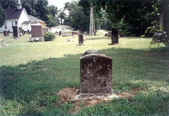
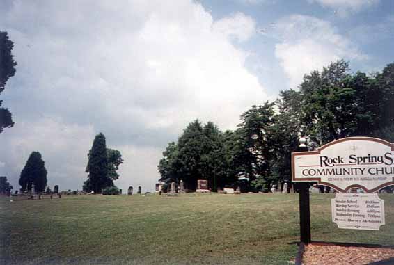
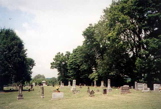
| Description | : | The cemetery is located in Southeast Township on the north side of Buffalo Trace Loop about 0.3 miles west of its intersection with S County Road 475 E. The cemetery is listed in the Cemetery and Burial Grounds Registry of the Indiana Department of Natural Resources (DNR) and in the State Historical Architectural and Archaeological Research Database (SHAARD) with Cemetery Record Number CR-59-172 (Rock Springs). |
frequently asked questions (FAQ):
-
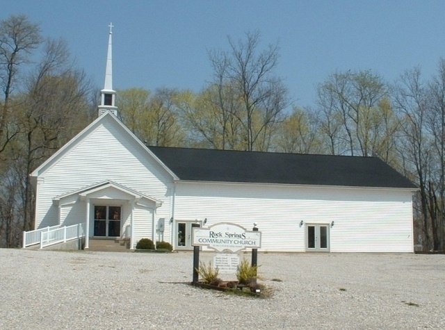
Where is Rock Springs Community Church Cemetery?
Rock Springs Community Church Cemetery is located at Buffalo Trace Loop Valeene, Orange County ,Indiana ,USA.
-
Rock Springs Community Church Cemetery cemetery's updated grave count on graveviews.com?
0 memorials
-
Where are the coordinates of the Rock Springs Community Church Cemetery?
Latitude: 38.4478580
Longitude: -86.3741040
Nearby Cemetories:
1. Bluff Springs Cemetery
Valeene, Orange County, USA
Coordinate: 38.4494553, -86.3594131
2. Oak Grove Cemetery
Hardinsburg, Washington County, USA
Coordinate: 38.4692345, -86.3446884
3. Danners Chapel Cemetery
Orange County, USA
Coordinate: 38.4897000, -86.3783000
4. Agan Family Cemetery
Valeene, Orange County, USA
Coordinate: 38.4208000, -86.3243000
5. Little Africa Cemetery
Orange County, USA
Coordinate: 38.4939308, -86.3938370
6. Concord Church Cemetery
Paoli, Orange County, USA
Coordinate: 38.4809189, -86.4219742
7. Crandall Cemetery
Orange County, USA
Coordinate: 38.4067200, -86.3232700
8. Harned Family Cemetery
Orange County, USA
Coordinate: 38.4111300, -86.4334300
9. Harned Chapel Cemetery
Southeast Township, Orange County, USA
Coordinate: 38.4111000, -86.4334300
10. Providence Cemetery
Madison Township, Washington County, USA
Coordinate: 38.4889180, -86.3063510
11. Doan Cemetery
Hardinsburg, Washington County, USA
Coordinate: 38.4595620, -86.2897130
12. Cooks Chapel Cemetery
Paoli, Orange County, USA
Coordinate: 38.4430100, -86.4613900
13. Hardinsburg Unity Baptist Cemetery
Hardinsburg, Washington County, USA
Coordinate: 38.4550670, -86.2817140
14. Walton Cemetery
Hardinsburg, Washington County, USA
Coordinate: 38.4453011, -86.2807999
15. Copelin Cemetery
Orange County, USA
Coordinate: 38.5172260, -86.3444630
16. Hardinsburg Cemetery
Hardinsburg, Washington County, USA
Coordinate: 38.4563942, -86.2806320
17. Payton Cemetery
Paoli, Orange County, USA
Coordinate: 38.5034940, -86.4388870
18. Marengo Cemetery
Marengo, Crawford County, USA
Coordinate: 38.3766556, -86.3414536
19. Bundy Cemetery
Stampers Creek Township, Orange County, USA
Coordinate: 38.5068900, -86.3124800
20. Cook-Tucker Cemetery
English, Crawford County, USA
Coordinate: 38.3936005, -86.4439011
21. Critchfield Family Cemetery
Greenbrier, Orange County, USA
Coordinate: 38.4184096, -86.4658351
22. Simpson Chapel Cemetery
Marengo, Crawford County, USA
Coordinate: 38.3697000, -86.3890900
23. Wolfe Family Cemetery
Stampers Creek, Orange County, USA
Coordinate: 38.5283600, -86.3453130
24. McMahan Family Cemetery
Crawford County, USA
Coordinate: 38.3890000, -86.4506000