
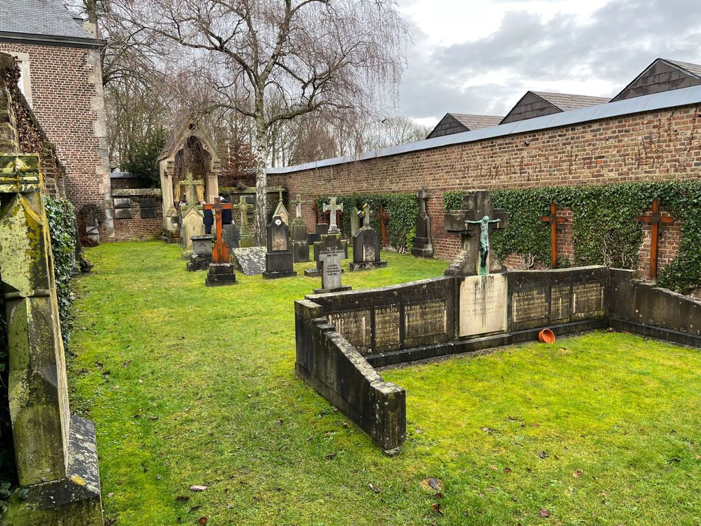
| Memorials | : | 0 |
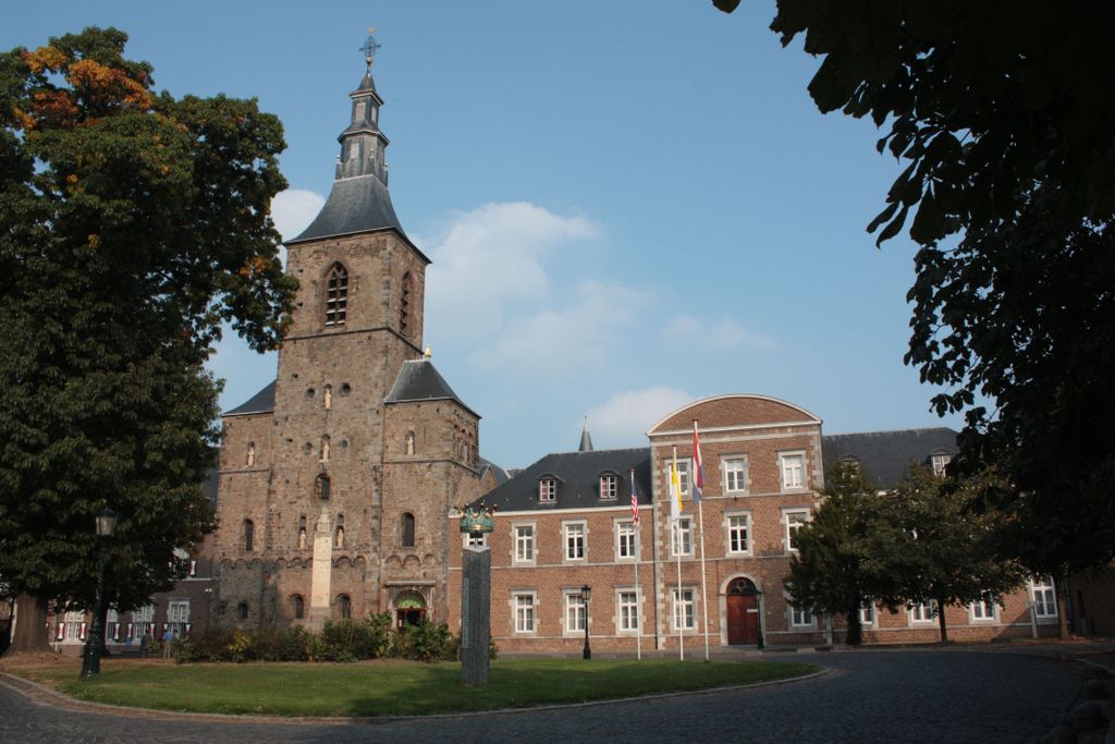
| Location | : | Rolduc, Kerkrade Municipality, Netherlands |
| Coordinate | : | 50.8677780, 6.0816670 |
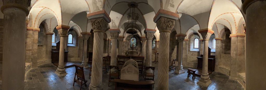
| Description | : | Rolduc is the name of a medieval abbey in Kerkrade, the Netherlands, which is now a Roman Catholic seminary and an affiliated conferencing center. |
frequently asked questions (FAQ):
-
Where is Rolduc Abbey?
Rolduc Abbey is located at Rolduc, Kerkrade Municipality ,Limburg ,Netherlands.
-
Rolduc Abbey cemetery's updated grave count on graveviews.com?
0 memorials
-
Where are the coordinates of the Rolduc Abbey?
Latitude: 50.8677780
Longitude: 6.0816670
Nearby Cemetories:
1. Friedhof Eygelshovener Strasse in Kohlscheid
Aachen, Stadtkreis Aachen, Germany
Coordinate: 50.8706060, 6.0902560
2. Friedhof Lange Hecke in Herzogenrath-Merkstein
Herzogenrath, Stadtkreis Aachen, Germany
Coordinate: 50.8798130, 6.0945480
3. Waldfriedhof in Herzogenrath
Herzogenrath, Stadtkreis Aachen, Germany
Coordinate: 50.8579630, 6.1003090
4. Friedhof Niederbardenberg in Herzogenrath
Herzogenrath, Stadtkreis Aachen, Germany
Coordinate: 50.8533850, 6.1153080
5. Friedhof Pannesheide in Kohlscheid
Aachen, Stadtkreis Aachen, Germany
Coordinate: 50.8448230, 6.0613740
6. Schifferheide Begraafplaats and Crematorium
Kerkrade, Kerkrade Municipality, Netherlands
Coordinate: 50.8590500, 6.0411700
7. Friedhof Oststrasse in Kohlscheid
Aachen, Stadtkreis Aachen, Germany
Coordinate: 50.8357780, 6.0941510
8. Friedhof Bank in Kohlscheid
Aachen, Stadtkreis Aachen, Germany
Coordinate: 50.8351540, 6.0703650
9. Friedhof Hofstadt in Herzogenrath-Merkstein
Herzogenrath, Stadtkreis Aachen, Germany
Coordinate: 50.9013790, 6.0889200
10. Friedhof Plitschard in Herzogenrath-Merkstein
Herzogenrath, Stadtkreis Aachen, Germany
Coordinate: 50.8985130, 6.1202860
11. Friedhof Horbach in Aachen-Richterich
Aachen, Stadtkreis Aachen, Germany
Coordinate: 50.8349310, 6.0438110
12. Friedhof Kaempchen in Kohlscheid
Aachen, Stadtkreis Aachen, Germany
Coordinate: 50.8243280, 6.0913180
13. Friedhof Richterich
Aachen, Stadtkreis Aachen, Germany
Coordinate: 50.8165380, 6.0562460
14. Friedhof Berensberg in Kohlscheid
Aachen, Stadtkreis Aachen, Germany
Coordinate: 50.8112090, 6.0946760
15. Zentralfriedhof St. Sebastian
Aachen, Stadtkreis Aachen, Germany
Coordinate: 50.8148509, 6.1308514
16. Friedhof Hand in Aachen
Aachen, Stadtkreis Aachen, Germany
Coordinate: 50.8061790, 6.0503770
17. Joodse Begraafplaats
Heerlen Municipality, Netherlands
Coordinate: 50.8849460, 5.9817340
18. Heerlen General Cemetery
Heerlen, Heerlen Municipality, Netherlands
Coordinate: 50.8849800, 5.9816400
19. Friedhof Aachen-Laurensberg
Laurensberg, Stadtkreis Aachen, Germany
Coordinate: 50.8013800, 6.0536400
20. R.K. Begraafplaats H. Jacobus de Meerderekerk
Bocholtz, Simpelveld Municipality, Netherlands
Coordinate: 50.8181303, 6.0053133
21. Simpelveld Algemene Begraafplaats
Simpelveld, Simpelveld Municipality, Netherlands
Coordinate: 50.8329100, 5.9827900
22. Friedhof Oidtweiler
Baesweiler, Stadtkreis Aachen, Germany
Coordinate: 50.8951658, 6.1877459
23. Friedhof Hoengen
Hoengen, Stadtkreis Aachen, Germany
Coordinate: 50.8676710, 6.2094366
24. Friedhof Verlautenheide in Aachen
Aachen, Stadtkreis Aachen, Germany
Coordinate: 50.7971470, 6.1498550