
| Memorials | : | 0 |
| Location | : | Nininger, Dakota County, USA |
| Coordinate | : | 44.7503400, -92.9036500 |
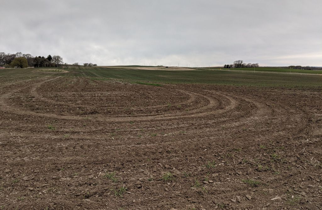
| Description | : | Rose Hill Cemetery began as a pioneer burial ground in Nininger Township, Minnesota Territory, in 1854. It was located on a hilltop at the center of Section 19. Pioneer Albert C. Poor purchased 120 acres of land around the burial ground in 1857. In 1859 an official plat of Rose Hill Cemetery was submitted to the State of Minnesota. The Cemetery was active for several decades but due to neglect had been lost and eventually abandoned. The cemetery map location is approximate. |
frequently asked questions (FAQ):
-
Where is Rose Hill Cemetery?
Rose Hill Cemetery is located at Jacob Avenue Nininger, Dakota County ,Minnesota , 55033USA.
-
Rose Hill Cemetery cemetery's updated grave count on graveviews.com?
0 memorials
-
Where are the coordinates of the Rose Hill Cemetery?
Latitude: 44.7503400
Longitude: -92.9036500
Nearby Cemetories:
1. Oakwood Cemetery
Hastings, Dakota County, USA
Coordinate: 44.7461014, -92.8867035
2. Spring Lake Cemetery
Nininger Township, Dakota County, USA
Coordinate: 44.7466880, -92.9365250
3. Soldiers and Sailors Cemetery
Hastings, Dakota County, USA
Coordinate: 44.7459106, -92.8697205
4. Lakeside Cemetery
Hastings, Dakota County, USA
Coordinate: 44.7468987, -92.8688965
5. Pliny Stowell Cemetery
Hastings, Dakota County, USA
Coordinate: 44.7311050, -92.8604830
6. Lyon Cemetery
Dakota County, USA
Coordinate: 44.7027698, -92.8944368
7. Saint Elizabeth Ann Seton Catholic Cemetery
Hastings, Dakota County, USA
Coordinate: 44.7168820, -92.8504640
8. Leavitt Cemetery
Washington County, USA
Coordinate: 44.7546997, -92.8321991
9. Saint Lukes Cemetery
Hastings, Dakota County, USA
Coordinate: 44.7175110, -92.8474760
10. Point Douglas Cemetery
Point Douglas, Washington County, USA
Coordinate: 44.7655983, -92.8218994
11. Hastings State Hospital Cemetery
Hastings, Dakota County, USA
Coordinate: 44.7103004, -92.8246994
12. McNamara Mound
Hastings, Dakota County, USA
Coordinate: 44.7154800, -92.8038500
13. Grey Cloud Cemetery
Grey Cloud Island Township, Washington County, USA
Coordinate: 44.8031006, -92.9942017
14. Bellwood Cemetery
Marshan Township, Dakota County, USA
Coordinate: 44.6727210, -92.8524730
15. Saint Agatha's Cemetery
Vermillion Township, Dakota County, USA
Coordinate: 44.7021470, -93.0042880
16. Saint Josephs Cemetery
Prescott, Pierce County, USA
Coordinate: 44.7402992, -92.7810974
17. Atkinson Cemetery
Cottage Grove, Washington County, USA
Coordinate: 44.8302994, -92.9593964
18. Pine Glen Cemetery
Prescott, Pierce County, USA
Coordinate: 44.7388992, -92.7789001
19. Saint John the Baptist Catholic Cemetery
Vermillion, Dakota County, USA
Coordinate: 44.6723595, -92.9670715
20. All Saints Lutheran Church Columbarium
Cottage Grove, Washington County, USA
Coordinate: 44.8320100, -92.9691000
21. Pine Bend Cemetery
Rosemount, Dakota County, USA
Coordinate: 44.7712364, -93.0340347
22. Cottage Grove Cemetery
Cottage Grove, Washington County, USA
Coordinate: 44.8471985, -92.8843994
23. Greenwood Cemetery
Basswood Grove, Washington County, USA
Coordinate: 44.8189011, -92.8050003
24. United Church of Christ Cemetery
Cottage Grove, Washington County, USA
Coordinate: 44.8476090, -92.8820440