| Memorials | : | 1 |
| Location | : | Sycamore, Clark County, USA |
| Coordinate | : | 33.8511009, -93.1607971 |
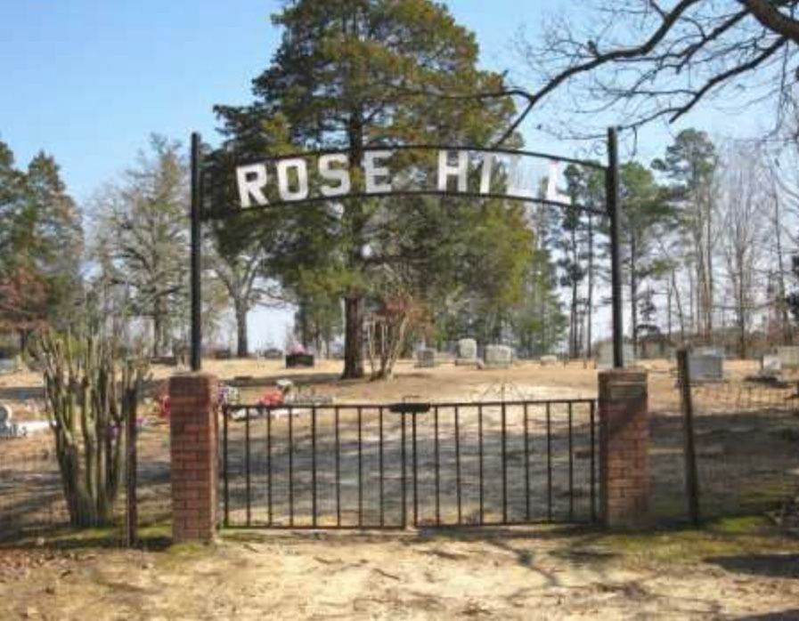
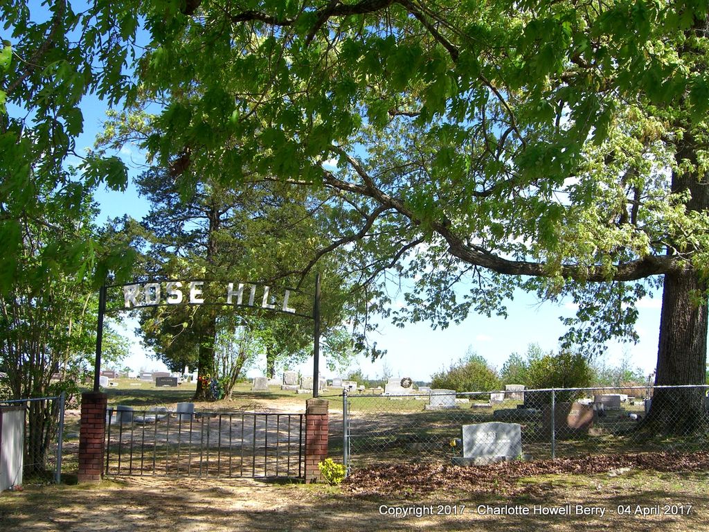
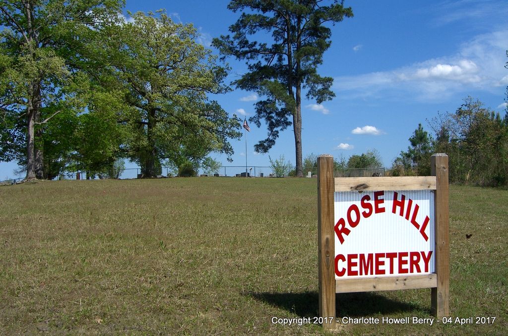
| Description | : | Rose Hill Cemetery is located 8 miles from Gurdon, Clark Co., Arkansas. It is actually in the tiny Sycamore Community near Beirne, Arkansas. To reach it from Gurdon, drive south on Highway 53 for 6 miles to the intersection of Highways 53/51. Turn right at intersection onto Highway 51 and drive 2 miles. The Sycamore Church is on the left side of the road. A little further on the right side of the road will be the sign for Rose Hill Cemetery. Turn right and go 1 mile. The cemetery will be on the right side of the road. The Rose... Read More |
frequently asked questions (FAQ):
-
Where is Rose Hill Cemetery?
Rose Hill Cemetery is located at Sycamore, Clark County ,Arkansas ,USA.
-
Rose Hill Cemetery cemetery's updated grave count on graveviews.com?
1 memorials
-
Where are the coordinates of the Rose Hill Cemetery?
Latitude: 33.8511009
Longitude: -93.1607971
Nearby Cemetories:
1. Springhill Cemetery
Whelen Springs, Clark County, USA
Coordinate: 33.8457985, -93.1532974
2. Browns Cemetery
Beirne, Clark County, USA
Coordinate: 33.8743900, -93.2044500
3. Weaver Cemetery
Gurdon, Clark County, USA
Coordinate: 33.8600807, -93.1004181
4. Shady Grove Cemetery
Beirne, Clark County, USA
Coordinate: 33.8692000, -93.2238000
5. Decipher Cemetery
Gurdon, Clark County, USA
Coordinate: 33.9000740, -93.1054420
6. Bethlehem Cemetery
Gurdon, Clark County, USA
Coordinate: 33.8436012, -93.0717010
7. Rose Hedge Cemetery
Gurdon, Clark County, USA
Coordinate: 33.9241982, -93.1410980
8. Brown Cemetery
Gurdon, Clark County, USA
Coordinate: 33.9275017, -93.1568985
9. Bethel Springs Cemetery
Clark County, USA
Coordinate: 33.8863983, -93.0702972
10. Greenville Cemetery
Clark County, USA
Coordinate: 33.9411011, -93.1386032
11. Sandy Community Cemetery
Gurdon, Clark County, USA
Coordinate: 33.9526000, -93.1721770
12. Liberty Cemetery
Prescott, Nevada County, USA
Coordinate: 33.8063270, -93.2777710
13. Sweet Home Cemetery
Bluff City, Nevada County, USA
Coordinate: 33.7619019, -93.2363968
14. Heldebrand Cemetery
Bluff City, Nevada County, USA
Coordinate: 33.7390000, -93.1802500
15. Hawkins Cemetery
Ouachita County, USA
Coordinate: 33.7535000, -93.0871000
16. Pawley Family Cemetery
Burtsell, Clark County, USA
Coordinate: 33.9229927, -93.2728119
17. Lewis Randolph Gravesite
Clark County, USA
Coordinate: 33.8657990, -93.0188980
18. Turner Cemetery
Ouachita County, USA
Coordinate: 33.7428017, -93.0994034
19. Shady Grove Cemetery
Redland, Nevada County, USA
Coordinate: 33.8068990, -93.2950120
20. Union Grove Cemetery
Bluff City, Nevada County, USA
Coordinate: 33.7335380, -93.1197850
21. Piney Grove Cemetery
Boughton Township, Nevada County, USA
Coordinate: 33.8360390, -93.3115210
22. Jenkins Cemetery
Clark County, USA
Coordinate: 33.8163986, -93.0132980
23. Bluff City Cemetery
Bluff City, Nevada County, USA
Coordinate: 33.7189000, -93.1258000
24. Easley Cemetery
Gurdon, Clark County, USA
Coordinate: 33.8622017, -92.9907990


