| Memorials | : | 60 |
| Location | : | Big Bend Township, Republic County, USA |
| Coordinate | : | 39.9655991, -97.9132996 |
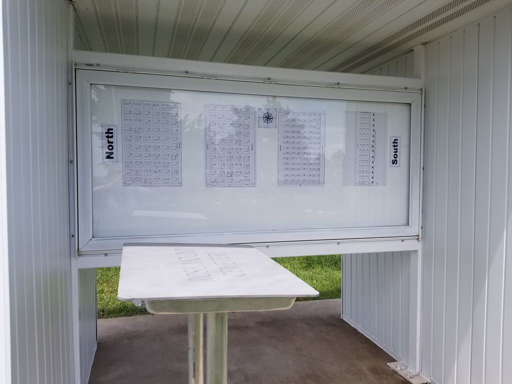
| Description | : | Rose Mound Cemetery Association-Cemetery District No. 27 of Jewell and Republic Counties. First Deed dated April 7, 1876 by Oscar Dundas-Entered in transfer record in Republic County Kansas, Clerk's Office on May 10, 1890. In 1906 a constitution was created for the Rose Mound Cemetery Association. On August 08, 1906 a Charter was issued to the Rose Mound Cemetery Association, from the State of Kansas Office of the Secretary of State, J.R. Burrow. Second Deed dated October 8, 1932 by George and Dessie Powell Filed in Republic County Kansas, Clerk's Office on November 23, 1932. Third Deed dated October 23,... Read More |
frequently asked questions (FAQ):
-
Where is Rose Mound Cemetery?
Rose Mound Cemetery is located at 2251 20 Road Big Bend Township, Republic County ,Kansas , 66964USA.
-
Rose Mound Cemetery cemetery's updated grave count on graveviews.com?
58 memorials
-
Where are the coordinates of the Rose Mound Cemetery?
Latitude: 39.9655991
Longitude: -97.9132996
Nearby Cemetories:
1. Hardy City Cemetery
Hardy, Nuckolls County, USA
Coordinate: 40.0166817, -97.9085617
2. Lake Cemetery
Republic, Republic County, USA
Coordinate: 39.9667015, -97.8380966
3. Gritten Cemetery
Republic, Republic County, USA
Coordinate: 39.9006004, -97.8578033
4. Fairview Cemetery
Lovewell, Jewell County, USA
Coordinate: 39.9073720, -97.9882780
5. White Rock Cemetery
Republic, Republic County, USA
Coordinate: 39.8788986, -97.9132996
6. Valley View Cemetery
Webber, Jewell County, USA
Coordinate: 39.9863180, -98.0309590
7. Webber Cemetery
Webber, Jewell County, USA
Coordinate: 39.9281040, -98.0354410
8. Persinger Cemetery
Courtland, Republic County, USA
Coordinate: 39.8605660, -97.9044880
9. Saint Peter's Lutheran Cemetery
Byron, Thayer County, USA
Coordinate: 40.0307670, -97.8018200
10. Saint Paul Lutheran Cemetery
Byron, Thayer County, USA
Coordinate: 40.0384900, -97.8037400
11. Prairie Rose Cemetery
Republic, Republic County, USA
Coordinate: 39.8929700, -97.8010700
12. Washington Cemetery
Washington Township, Republic County, USA
Coordinate: 39.9510994, -97.7624969
13. Dahl Cemetery
Webber, Jewell County, USA
Coordinate: 39.8993988, -98.0432968
14. Saint Paul's Lutheran Cemetery
Byron, Thayer County, USA
Coordinate: 40.0161500, -97.7646000
15. Laurel Hill Cemetery
Lovewell, Jewell County, USA
Coordinate: 39.8417015, -97.9608002
16. Mount Pleasant Cemetery
Courtland, Republic County, USA
Coordinate: 39.8319016, -97.8846970
17. Evergreen Cemetery
Superior, Nuckolls County, USA
Coordinate: 40.0374985, -98.0650024
18. Switzers Gap Cemetery
Jewell County, USA
Coordinate: 39.8422012, -98.0255966
19. Saint John's Lutheran Cemetery
Byron, Thayer County, USA
Coordinate: 40.0456600, -97.7463000
20. Montana Cemetery
Jewell County, USA
Coordinate: 39.9152985, -98.1082993
21. Liberty Cemetery
Liberty Township, Republic County, USA
Coordinate: 39.9441986, -97.7061005
22. Spring Creek Cemetery
Ruskin, Nuckolls County, USA
Coordinate: 40.1258011, -97.8756027
23. Union Valley Cemetery
Scandia, Republic County, USA
Coordinate: 39.8599330, -97.7447500
24. Zion Lutheran Cemetery
Deshler, Thayer County, USA
Coordinate: 40.1015600, -97.7834300


