
| Memorials | : | 42 |
| Location | : | Ada, Pontotoc County, USA |
| Coordinate | : | 34.7952995, -96.6866989 |
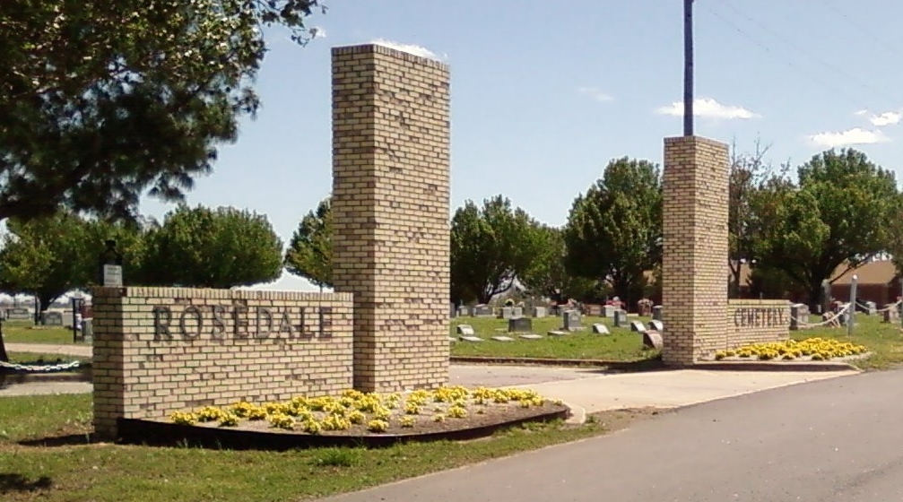
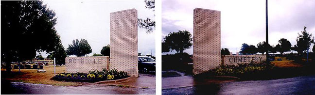
| Description | : | Rosedale Cemetery is located just west of Broadway Ave (Old US 377) and north of J.A. Richardson Loop (State Hwy 1) in Ada. On Broadway Ave, turn west onto Armory Road. The cemetery is at the corner of Armory Road and Oak Ave. (OR) On J.A. Richardson Loop, turn north onto Poteet Road, then west onto Armory Ave. The cemetery is at the corner of Armory Road and Oak Ave. |
frequently asked questions (FAQ):
-
Where is Rosedale Cemetery?
Rosedale Cemetery is located at Ada, Pontotoc County ,Oklahoma ,USA.
-
Rosedale Cemetery cemetery's updated grave count on graveviews.com?
37 memorials
-
Where are the coordinates of the Rosedale Cemetery?
Latitude: 34.7952995
Longitude: -96.6866989

Nearby Cemetories:
1. North Hickory Cemetery
Ada, Pontotoc County, USA
Coordinate: 34.7831001, -96.6900024
2. Saint Luke's Episcopal Church Columbarium
Ada, Pontotoc County, USA
Coordinate: 34.7685400, -96.6782400
3. Hird Cemetery
Hird, Pontotoc County, USA
Coordinate: 34.8081400, -96.6513400
4. Memorial Park Cemetery
Ada, Pontotoc County, USA
Coordinate: 34.7839012, -96.7316971
5. Swan Hill Cemetery
Ada, Pontotoc County, USA
Coordinate: 34.7850100, -96.7337600
6. Egypt Cemetery
Ada, Pontotoc County, USA
Coordinate: 34.8272018, -96.7285995
7. Athens Cemetery
Ada, Pontotoc County, USA
Coordinate: 34.7664600, -96.7480500
8. Hays Cemetery
Pontotoc County, USA
Coordinate: 34.7346916, -96.6606216
9. Puller Cemetery
Pontotoc County, USA
Coordinate: 34.7341995, -96.6611023
10. High Hill Cemetery
Ada, Pontotoc County, USA
Coordinate: 34.7400100, -96.6354500
11. Oakman Cemetery
Oakman, Pontotoc County, USA
Coordinate: 34.8389015, -96.6183014
12. New Bethel Cemetery
Byng, Pontotoc County, USA
Coordinate: 34.8680992, -96.6686020
13. Oliver Cemetery
Francis, Pontotoc County, USA
Coordinate: 34.8544006, -96.6136017
14. Denney Cemetery
Francis, Pontotoc County, USA
Coordinate: 34.8460999, -96.5877991
15. Bruner Cemetery
Konawa, Seminole County, USA
Coordinate: 34.8978004, -96.7106018
16. East Fairview Cemetery
Seminole County, USA
Coordinate: 34.8983002, -96.7319031
17. Box X Cemetery
Bebee, Pontotoc County, USA
Coordinate: 34.8560982, -96.8058014
18. Center Cemetery
Center, Pontotoc County, USA
Coordinate: 34.8032990, -96.8317032
19. Tiger Cemetery
Seminole County, USA
Coordinate: 34.9108009, -96.7418976
20. Francis Cedar Grove Cemetery
Francis, Pontotoc County, USA
Coordinate: 34.8808000, -96.5738000
21. Five Mile Cemetery
Happyland, Pontotoc County, USA
Coordinate: 34.7841988, -96.5199966
22. Moss Cemetery
Center, Pontotoc County, USA
Coordinate: 34.7672200, -96.8553700
23. Fixico Cemetery
Seminole County, USA
Coordinate: 34.9247017, -96.6089020
24. Grayson Cemetery
Konawa, Seminole County, USA
Coordinate: 34.9278950, -96.7573380