
| Memorials | : | 0 |
| Location | : | Littleville, McCracken County, USA |
| Coordinate | : | 37.0383800, -88.6072200 |
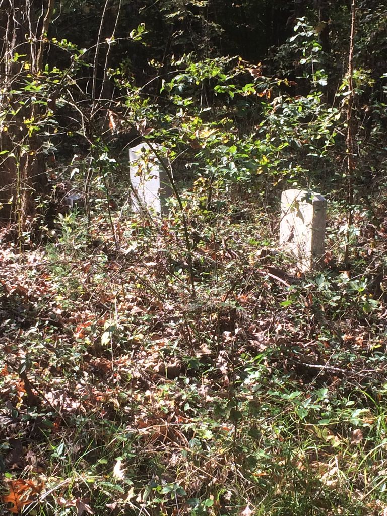
| Description | : | The Rosie Boyd Grave (as listed in McCracken County Cemetery Books) is located on land owned by her near Island Creek. She is the only one isted as buried here, but I found six graves. |
frequently asked questions (FAQ):
-
Where is Rosie Boyd Cemetery?
Rosie Boyd Cemetery is located at Littleville, McCracken County ,Kentucky ,USA.
-
Rosie Boyd Cemetery cemetery's updated grave count on graveviews.com?
0 memorials
-
Where are the coordinates of the Rosie Boyd Cemetery?
Latitude: 37.0383800
Longitude: -88.6072200
Nearby Cemetories:
1. Jones Family Cemetery
Paducah, McCracken County, USA
Coordinate: 37.0323700, -88.6112400
2. Brame Cemetery
Paducah, McCracken County, USA
Coordinate: 37.0327880, -88.5993890
3. Mount Carmel Cemetery
Paducah, McCracken County, USA
Coordinate: 37.0466995, -88.6299973
4. Hendron Cemetery
Paducah, McCracken County, USA
Coordinate: 37.0300200, -88.6346500
5. Hall's Graveyard
Lone Oak, McCracken County, USA
Coordinate: 37.0400200, -88.6387900
6. Herzog Cemetery
McCracken County, USA
Coordinate: 37.0102997, -88.6194000
7. German Babb Cemetery
Paducah, McCracken County, USA
Coordinate: 37.0037950, -88.6147890
8. McCracken County Cemetery
McCracken County, USA
Coordinate: 37.0402412, -88.6530304
9. Jones Cemetery
McCracken County, USA
Coordinate: 37.0005905, -88.6195249
10. Gardner Cemetery
Hendron, McCracken County, USA
Coordinate: 37.0003762, -88.6193163
11. Temple Israel Cemetery
Lone Oak, McCracken County, USA
Coordinate: 37.0419617, -88.6595764
12. Black Masonic Cemetery
Lone Oak, McCracken County, USA
Coordinate: 37.0394096, -88.6609802
13. Mount Kenton Cemetery
Paducah, McCracken County, USA
Coordinate: 37.0438995, -88.6619034
14. Switzer Cemetery
McCracken County, USA
Coordinate: 36.9942017, -88.6207962
15. Sunny Slope Cemetery
Paducah, McCracken County, USA
Coordinate: 36.9933850, -88.6191560
16. Grace Episcopal Memorial Garden
McCracken County, USA
Coordinate: 37.0843750, -88.6031320
17. Hayes-Hough Cemetery
McCracken County, USA
Coordinate: 37.0544620, -88.6615160
18. Brooks Memorial Park
Paducah, McCracken County, USA
Coordinate: 37.0456600, -88.6668500
19. Beyer Cemetery
Lone Oak, McCracken County, USA
Coordinate: 37.0256004, -88.6667023
20. Oak Grove Cemetery
Paducah, McCracken County, USA
Coordinate: 37.0868988, -88.6200027
21. Maplelawn Park Cemetery
Paducah, McCracken County, USA
Coordinate: 37.0889015, -88.6239014
22. Jones Cemetery
McCracken County, USA
Coordinate: 36.9939003, -88.6438980
23. Saint Matthew Cemetery
Lone Oak, McCracken County, USA
Coordinate: 37.0088997, -88.6656036
24. Pleasant Grove Baptist Church Cemetery
Paducah, McCracken County, USA
Coordinate: 37.0566100, -88.6787300