
| Memorials | : | 175 |
| Location | : | Brucefield, Huron County, Canada |
| Coordinate | : | 43.5118590, -81.5139350 |
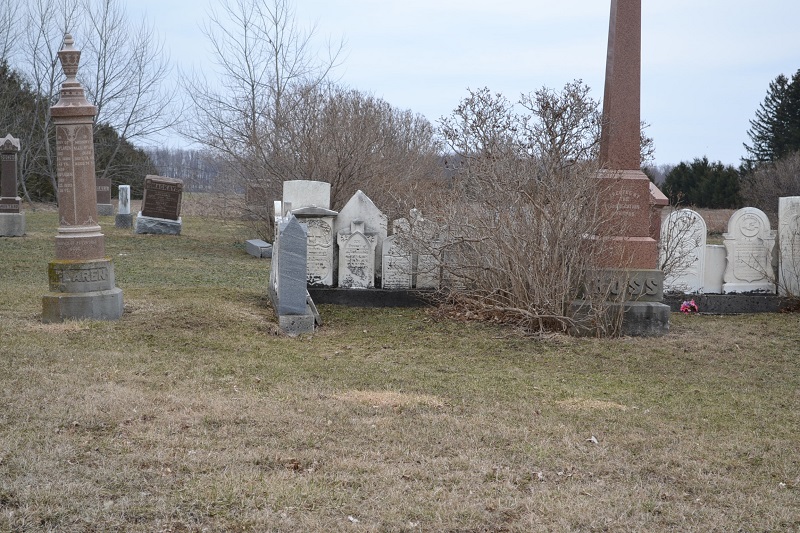
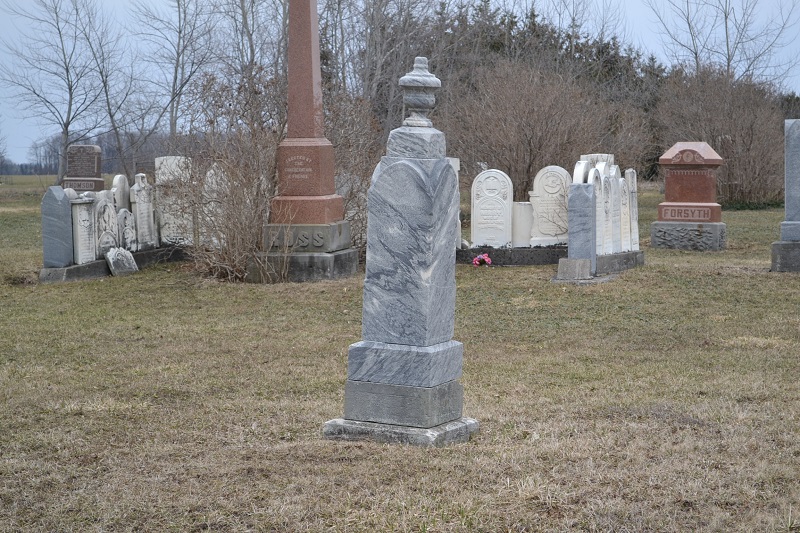
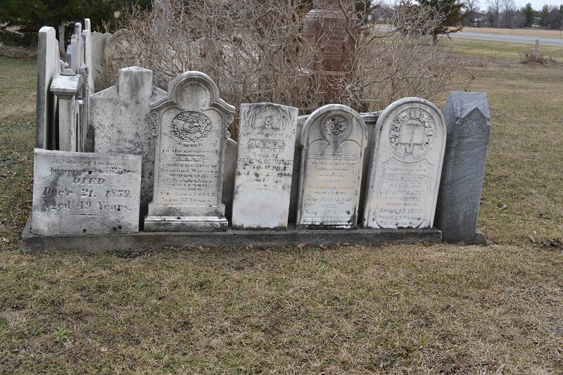
| Description | : | The cemetery is about two km south of the village of Brucefield, Ontario on the EAST side of Highway 4 (previously in what was called Tuckersmith Township). It is inactive. Note - There are two “Ross” cemeteries south of Brucefield. The other is located in what was called Stanley Township and is in FAG as Ross United Presbyterian Cemetery. It is on the WEST side of Highway 4. Please check both if searching for a burial in “Brucefield Cemetery” or a “Ross Cemetery” in Brucefield. |
frequently asked questions (FAQ):
-
Where is Ross Free Presbyterian Cemetery?
Ross Free Presbyterian Cemetery is located at Concession 1, lot 27 LRS (London Road Survey) Brucefield, Huron County ,Ontario ,Canada.
-
Ross Free Presbyterian Cemetery cemetery's updated grave count on graveviews.com?
175 memorials
-
Where are the coordinates of the Ross Free Presbyterian Cemetery?
Latitude: 43.5118590
Longitude: -81.5139350
Nearby Cemetories:
1. Ross United Presbyterian Cemetery
Brucefield, Huron County, Canada
Coordinate: 43.5216200, -81.5169800
2. Baird's Cemetery
Brucefield, Huron County, Canada
Coordinate: 43.5387800, -81.5678100
3. Varna United-Memorial Cemetery
Stanley Township, Huron County, Canada
Coordinate: 43.5347640, -81.5950790
4. Turners Cemetery
Tuckersmith Township, Huron County, Canada
Coordinate: 43.5734540, -81.4893110
5. Hillsgreen Cemetery
Hills Green, Huron County, Canada
Coordinate: 43.4520020, -81.5804120
6. Egmondville Cemetery
Egmondville, Huron County, Canada
Coordinate: 43.5398400, -81.4074380
7. Harpurhey Presbyterian Cemetery
Harpurhey, Huron County, Canada
Coordinate: 43.5601460, -81.4149820
8. Fannsville Cemetery
Zurich, Huron County, Canada
Coordinate: 43.4281930, -81.5612290
9. Hensall Union Cemetery
Hensall, Huron County, Canada
Coordinate: 43.4174710, -81.4817870
10. Bayfield Memorial Cemetery
Stanley Township, Huron County, Canada
Coordinate: 43.5453380, -81.6418570
11. McTaggarts Cemetery
Usborne Township, Huron County, Canada
Coordinate: 43.4228400, -81.4414710
12. Saint James Cemetery
Seaforth, Huron County, Canada
Coordinate: 43.5479180, -81.3798530
13. Maitlandbank Cemetery
Seaforth, Huron County, Canada
Coordinate: 43.5740600, -81.3906500
14. Lakeview Conservative Mennonite Cemetery
Blake, Huron County, Canada
Coordinate: 43.4454575, -81.6554565
15. Clinton Public Cemetery
Clinton, Huron County, Canada
Coordinate: 43.6351790, -81.5293200
16. Saint Columban Roman Catholic Cemetery
Saint-Columban, Huron County, Canada
Coordinate: 43.5180000, -81.3348330
17. Saint Joseph's Roman Catholic Cemetery
Hullett Township, Huron County, Canada
Coordinate: 43.6421190, -81.4980580
18. Bayfield Cemetery
Bayfield, Huron County, Canada
Coordinate: 43.5584200, -81.6830700
19. Saint Peter's Lutheran Cemetery
Zurich, Huron County, Canada
Coordinate: 43.4068871, -81.6225357
20. Bethesda Bible Christian Cemetery
South Huron, Huron County, Canada
Coordinate: 43.3844000, -81.4626250
21. Kinburn United Cemetery
Kinburn, Huron County, Canada
Coordinate: 43.6307870, -81.4226600
22. Zurich United Church Cemetery
Zurich, Huron County, Canada
Coordinate: 43.4074790, -81.6483220
23. Saint Boniface Roman Catholic Cemetery
Hay Township, Huron County, Canada
Coordinate: 43.4067130, -81.6475740
24. Cromarty Presbyterian Cemetery
Cromarty, Perth County, Canada
Coordinate: 43.4277106, -81.3534830