
| Memorials | : | 0 |
| Location | : | New Rossington, Metropolitan Borough of Doncaster, England |
| Coordinate | : | 53.4705000, -1.0897200 |
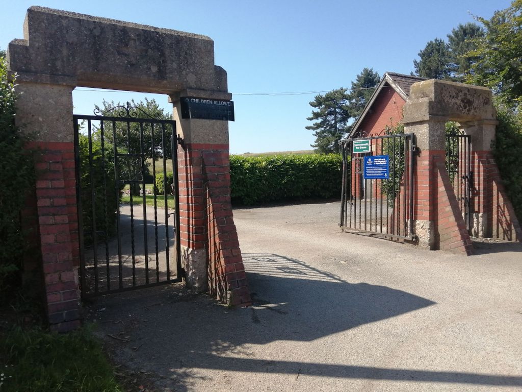
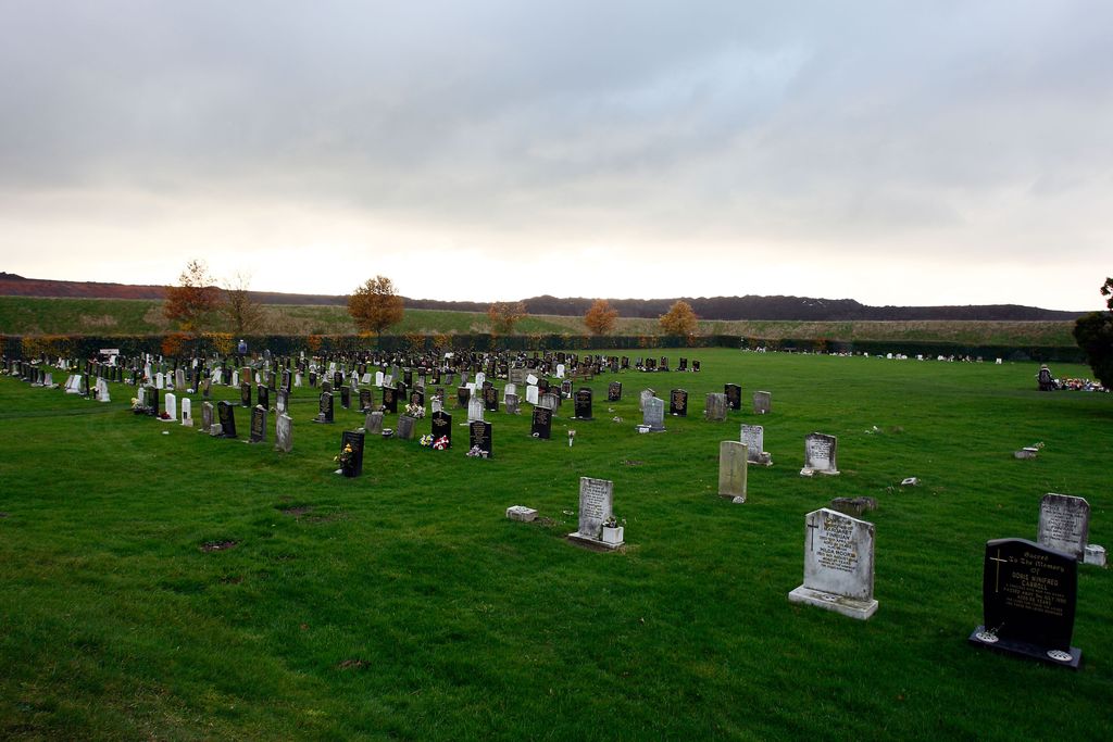
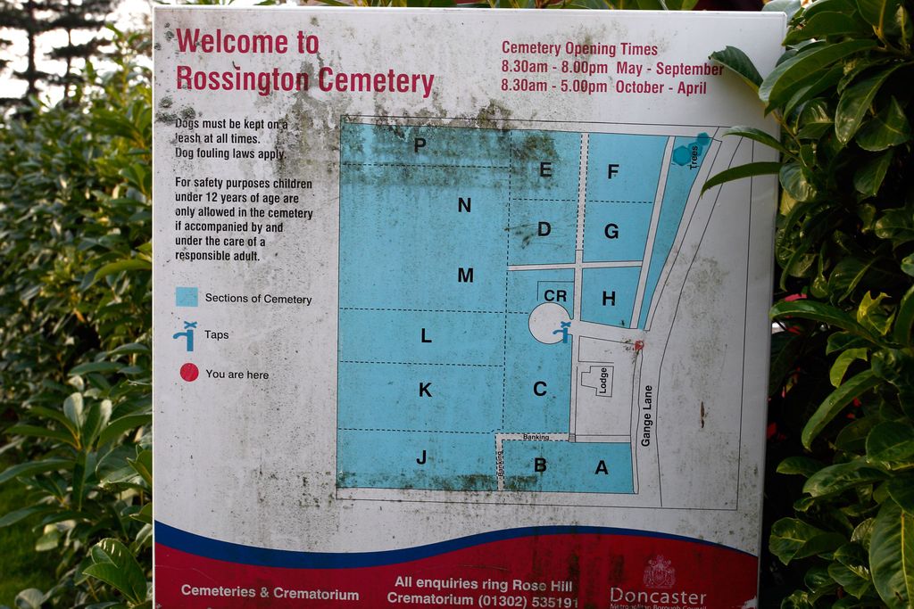
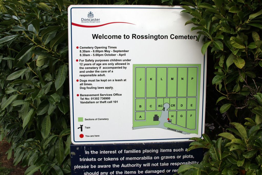
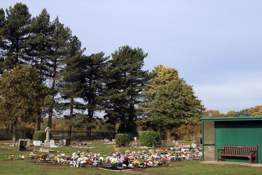
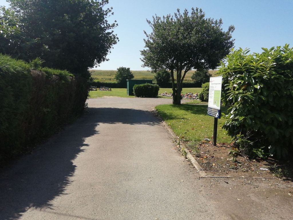
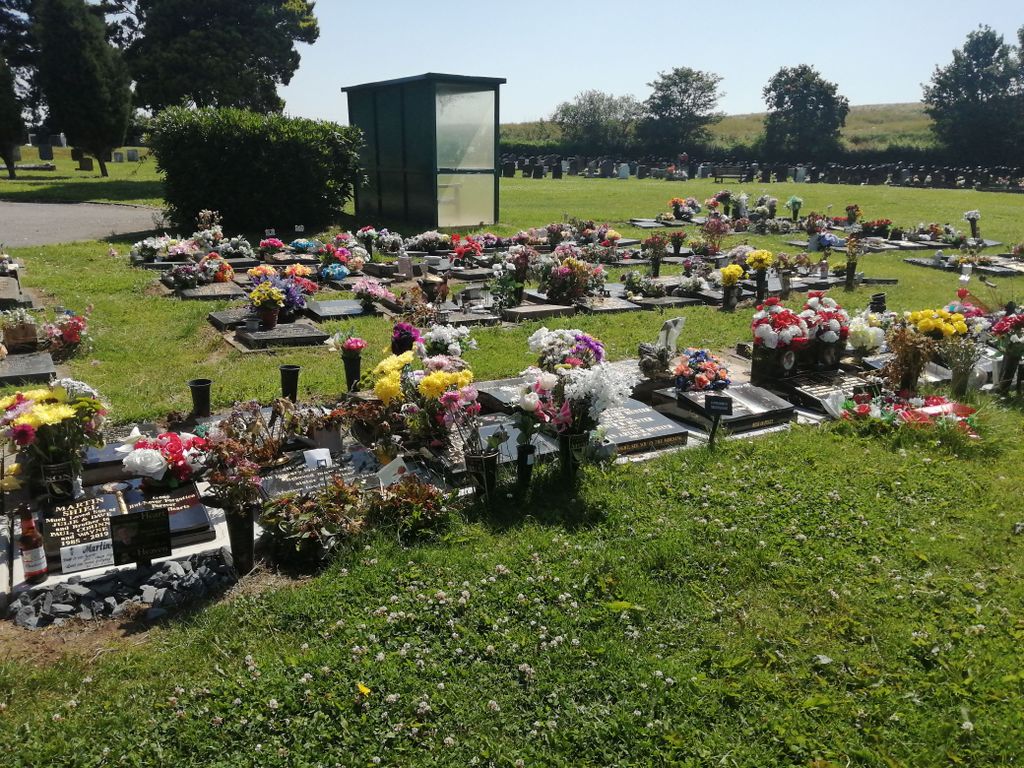
| Description | : | Simple cemetery on the edge of New Rossington south of the former colliery. Cemetery is operated by Doncaster Borough Council. The former cemetery lodge is now a private dwelling. Note: the address of the cemetery is sometimes given as Wadworth Lane but access from the Wadworth direction was only by foot and that has now been closed by major earthworks covering the former route. |
frequently asked questions (FAQ):
-
Where is Rossington Grange Lane Cemetery?
Rossington Grange Lane Cemetery is located at New Rossington, Metropolitan Borough of Doncaster, England.
-
Rossington Grange Lane Cemetery cemetery's updated grave count on graveviews.com?
0 memorials
-
Where are the coordinates of the Rossington Grange Lane Cemetery?
Latitude: 53.4705000
Longitude: -1.0897200
Nearby Cemetories:
1. Rossington Cemetery
Rossington, Metropolitan Borough of Doncaster, England
Coordinate: 53.4704340, -1.0896950
2. St. Michael's Churchyard
Rossington, Metropolitan Borough of Doncaster, England
Coordinate: 53.4782772, -1.0596305
3. St. Katherine Churchyard
Loversall, Metropolitan Borough of Doncaster, England
Coordinate: 53.4821700, -1.1333650
4. St. John the Baptist Churchyard
Wadworth, Metropolitan Borough of Doncaster, England
Coordinate: 53.4673170, -1.1447000
5. St. Wilfrid Churchyard
Cantley, Metropolitan Borough of Doncaster, England
Coordinate: 53.5058500, -1.0688800
6. Saint Mary's Cemetery
Tickhill, Metropolitan Borough of Doncaster, England
Coordinate: 53.4315867, -1.1108661
7. St. Mary's Churchyard
Tickhill, Metropolitan Borough of Doncaster, England
Coordinate: 53.4309200, -1.1112200
8. Rose Hill Crematorium
Cantley, Metropolitan Borough of Doncaster, England
Coordinate: 53.5129200, -1.0813200
9. Rose Hill Cemetery
Cantley, Metropolitan Borough of Doncaster, England
Coordinate: 53.5145880, -1.0863210
10. Austin Friars Churchyard
Tickhill, Metropolitan Borough of Doncaster, England
Coordinate: 53.4283270, -1.1194740
11. Tickhill Friary
Tickhill, Metropolitan Borough of Doncaster, England
Coordinate: 53.4283330, -1.1195830
12. Hyde Park Cemetery
Doncaster, Metropolitan Borough of Doncaster, England
Coordinate: 53.5150570, -1.1316170
13. St. Saviour's Churchyard
Auckley, Metropolitan Borough of Doncaster, England
Coordinate: 53.4993980, -1.0188490
14. Balby War Memorial
Balby, Metropolitan Borough of Doncaster, England
Coordinate: 53.5072040, -1.1504580
15. St John the Evangelist Churchyard
Balby, Metropolitan Borough of Doncaster, England
Coordinate: 53.5075700, -1.1506000
16. All Saints Churchyard
Harworth, Bassetlaw District, England
Coordinate: 53.4187800, -1.0781900
17. Black Friars Friars Preachers
Doncaster, Metropolitan Borough of Doncaster, England
Coordinate: 53.5160000, -1.1330000
18. Harworth Cemetery
Harworth, Bassetlaw District, England
Coordinate: 53.4185060, -1.0733460
19. St Nicholas Chapel of All Souls Ancillary Cemetery
Bawtry, Metropolitan Borough of Doncaster, England
Coordinate: 53.4344798, -1.0211632
20. Styrrup Road Cemetery
Harworth, Bassetlaw District, England
Coordinate: 53.4160400, -1.0816770
21. St. Peter's Churchyard
Warmsworth, Metropolitan Borough of Doncaster, England
Coordinate: 53.5004220, -1.1679401
22. Bawtry Cemetery
Bawtry, Metropolitan Borough of Doncaster, England
Coordinate: 53.4341255, -1.0192066
23. St. Helena Churchyard
Austerfield, Metropolitan Borough of Doncaster, England
Coordinate: 53.4449200, -1.0062600
24. St Winifred Churchyard
Stainton, Metropolitan Borough of Doncaster, England
Coordinate: 53.4367385, -1.1657988