| Memorials | : | 35 |
| Location | : | Stewart Crossroads, Lancaster County, USA |
| Coordinate | : | 34.8037960, -80.6099080 |
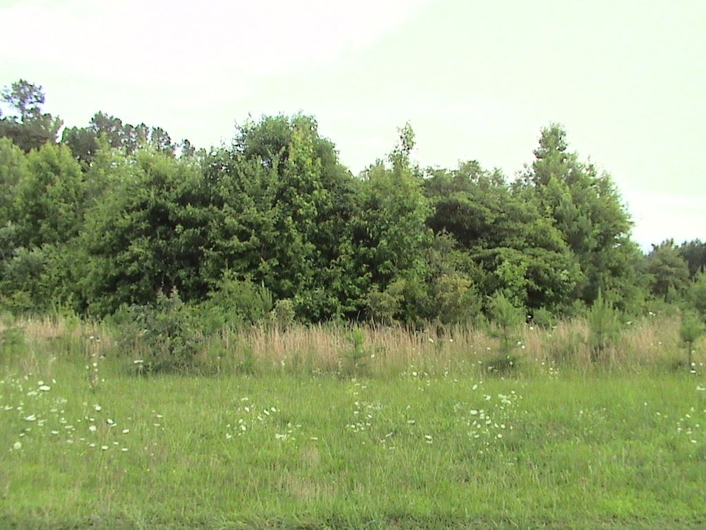
| Description | : | Cemetery is just north of Love Enterprises 5555 Camp Creek Road. From Camp Creek Road turn onto Whittle Road. Take the first right after driving onto Whittle. Cemetery is 20 to 50 yards on the right in a clump of scrub trees. |
frequently asked questions (FAQ):
-
Where is Rowell Cemetery?
Rowell Cemetery is located at Stewart Crossroads, Lancaster County ,South Carolina ,USA.
-
Rowell Cemetery cemetery's updated grave count on graveviews.com?
0 memorials
-
Where are the coordinates of the Rowell Cemetery?
Latitude: 34.8037960
Longitude: -80.6099080
Nearby Cemetories:
1. Tabernacle United Methodist Church Cemetery
Lancaster, Lancaster County, USA
Coordinate: 34.7935982, -80.5922012
2. Bethel United Methodist Church Cemetery
Camp Creek, Lancaster County, USA
Coordinate: 34.8099220, -80.6386640
3. New Bethel Cemetery
Lancaster County, USA
Coordinate: 34.8097000, -80.6389008
4. Mount Zion Baptist Church Cemetery
Monroe, Union County, USA
Coordinate: 34.8341661, -80.5824637
5. Bethany Presbyterian Church Cemetery
Union County, USA
Coordinate: 34.8369141, -80.5860901
6. Pleasant Plain Missionary Baptist Church Cemetery
Lancaster, Lancaster County, USA
Coordinate: 34.8108800, -80.6560400
7. Bethlehem Baptist Church Cemetery
Lancaster County, USA
Coordinate: 34.7592350, -80.6315860
8. Old Antioch Cemetery
Union County, USA
Coordinate: 34.8391113, -80.5690079
9. Rose Hill Baptist Church Cemetery
Tradesville, Lancaster County, USA
Coordinate: 34.7733040, -80.5575920
10. Prospect United Methodist Church Cemetery
Monroe, Union County, USA
Coordinate: 34.8573265, -80.6093750
11. Spring Hill Baptist Church
Tradesville, Lancaster County, USA
Coordinate: 34.7719002, -80.5531769
12. New Cut Memorial Cemetery
Lancaster, Lancaster County, USA
Coordinate: 34.7803640, -80.6744440
13. New Hope AME Zion Church Cemetery
Lancaster, Lancaster County, USA
Coordinate: 34.7569220, -80.6586460
14. Buford Battleground Memorial
Buford, Lancaster County, USA
Coordinate: 34.7427410, -80.6274600
15. Wolf Pond Baptist Church Cemetery
Chesterfield County, USA
Coordinate: 34.8132460, -80.5272160
16. Mary Elizabeth Baptist Church Cemetery
Union County, USA
Coordinate: 34.8595581, -80.6637268
17. Unity ARP Church Cemetery
Lancaster County, USA
Coordinate: 34.8124530, -80.6967930
18. Hopewell United Methodist Church Cemetery
Lancaster, Lancaster County, USA
Coordinate: 34.7385150, -80.6498510
19. Laney-Knight Cemetery
Buford, Lancaster County, USA
Coordinate: 34.7427850, -80.5516480
20. Trinity United Methodist Church Cemetery
Monroe, Union County, USA
Coordinate: 34.8516388, -80.5325165
21. Bethlehem United Methodist Church Cemetery
Waxhaw, Union County, USA
Coordinate: 34.8800583, -80.6392288
22. Sandy Ridge Baptist Church Cemetery
Monroe, Union County, USA
Coordinate: 34.8781204, -80.5684128
23. George Laney Family Cemetery
Union County, USA
Coordinate: 34.8534393, -80.5307693
24. Camp Creek Baptist Church Cemetery
Lancaster, Lancaster County, USA
Coordinate: 34.7592720, -80.6943690


