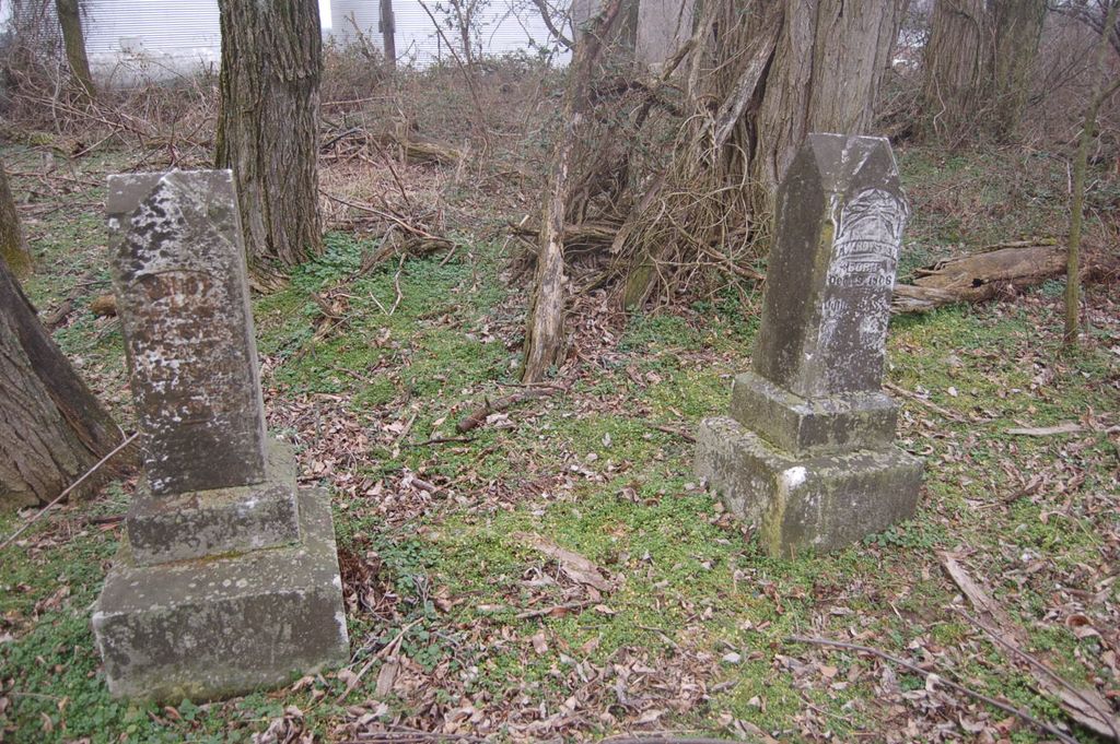
| Memorials | : | 0 |
| Location | : | Robards, Henderson County, USA |
| Coordinate | : | 37.6796900, -87.5458900 |
frequently asked questions (FAQ):
-
Where is Royster Cemetery?
Royster Cemetery is located at Station Road Robards, Henderson County ,Kentucky ,USA.
-
Royster Cemetery cemetery's updated grave count on graveviews.com?
0 memorials
-
Where are the coordinates of the Royster Cemetery?
Latitude: 37.6796900
Longitude: -87.5458900
Nearby Cemetories:
1. Gish Cemetery #1
Henderson County, USA
Coordinate: 37.6664009, -87.5417023
2. Eakins Cemetery
Henderson County, USA
Coordinate: 37.6660050, -87.5523660
3. Busby Cemetery
Robards, Henderson County, USA
Coordinate: 37.6964280, -87.5508640
4. Smith Cemetery
Robards, Henderson County, USA
Coordinate: 37.7028320, -87.5458980
5. McMullin Cemetery
Henderson County, USA
Coordinate: 37.6794014, -87.5753021
6. Sandefur Cemetery
Robards, Henderson County, USA
Coordinate: 37.6670920, -87.5164890
7. Spencer Cemetery
Henderson, Henderson County, USA
Coordinate: 37.6913986, -87.5772018
8. Eakins Cemetery
Henderson County, USA
Coordinate: 37.6624985, -87.5132980
9. Royster Cemetery #1
Robards, Henderson County, USA
Coordinate: 37.6699100, -87.5849800
10. Book Cemetery
Robards, Henderson County, USA
Coordinate: 37.7067720, -87.5785500
11. Pleasant Valley Cemetery
Henderson County, USA
Coordinate: 37.6933440, -87.4892580
12. Denton Cemetery
Robards, Henderson County, USA
Coordinate: 37.7159910, -87.5860790
13. Gish Family Cemetery #1
Niagara, Henderson County, USA
Coordinate: 37.7237420, -87.4954520
14. Normen Cemetery
Henderson County, USA
Coordinate: 37.7400017, -87.5353012
15. Old Salem Cemetery
Robards, Henderson County, USA
Coordinate: 37.6579720, -87.6197220
16. New Sights Cemetery
Robards, Henderson County, USA
Coordinate: 37.7134440, -87.6147710
17. Meahl Cemetery
Robards, Henderson County, USA
Coordinate: 37.7137860, -87.6146690
18. Gish Family Cemetery #2
Niagara, Henderson County, USA
Coordinate: 37.7419599, -87.5138651
19. Nunn Cemetery
Henderson County, USA
Coordinate: 37.6893997, -87.4561005
20. McCormick Cemetery
Anthoston, Henderson County, USA
Coordinate: 37.7508340, -87.5266920
21. Cedar Log Faith Christian Church Cemetery
Anthoston, Henderson County, USA
Coordinate: 37.7516800, -87.5269600
22. Royster Cemetery
Cairo, Henderson County, USA
Coordinate: 37.6881100, -87.6422600
23. Gish Cemetery
Anthoston, Henderson County, USA
Coordinate: 37.7564040, -87.5363400
24. Denton Cemetery
Henderson, Henderson County, USA
Coordinate: 37.7327995, -87.6168976

