| Memorials | : | 4 |
| Location | : | Bunge, Gotlands kommun, Sweden |
| Coordinate | : | 57.8338770, 18.9238580 |
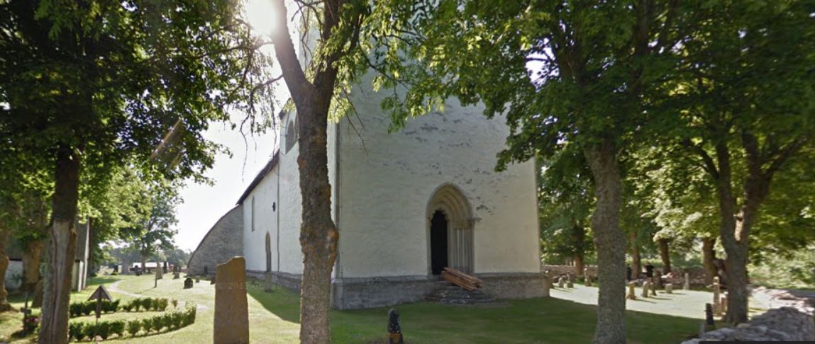
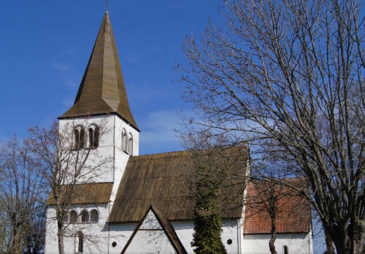
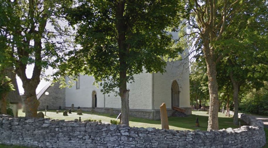
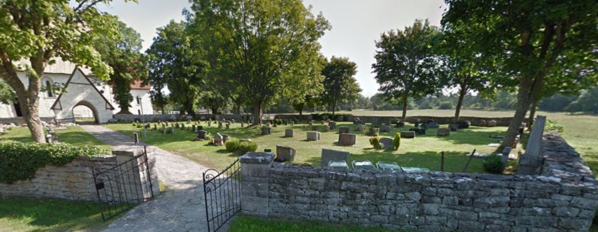
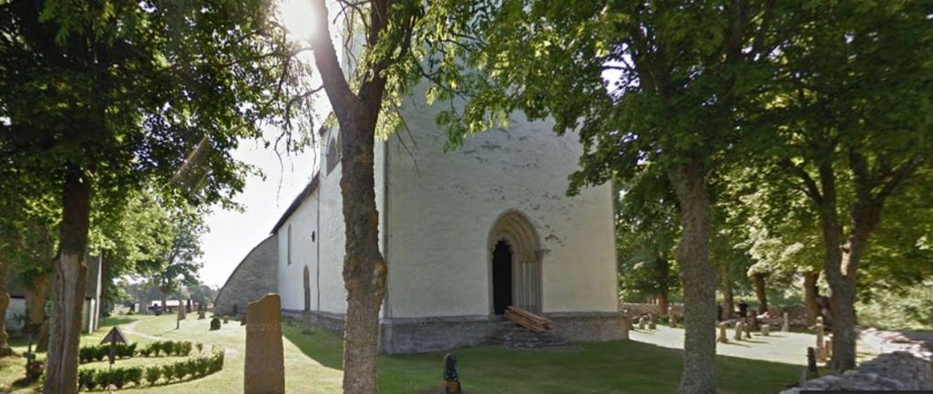
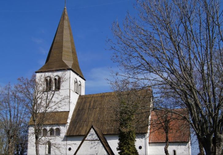
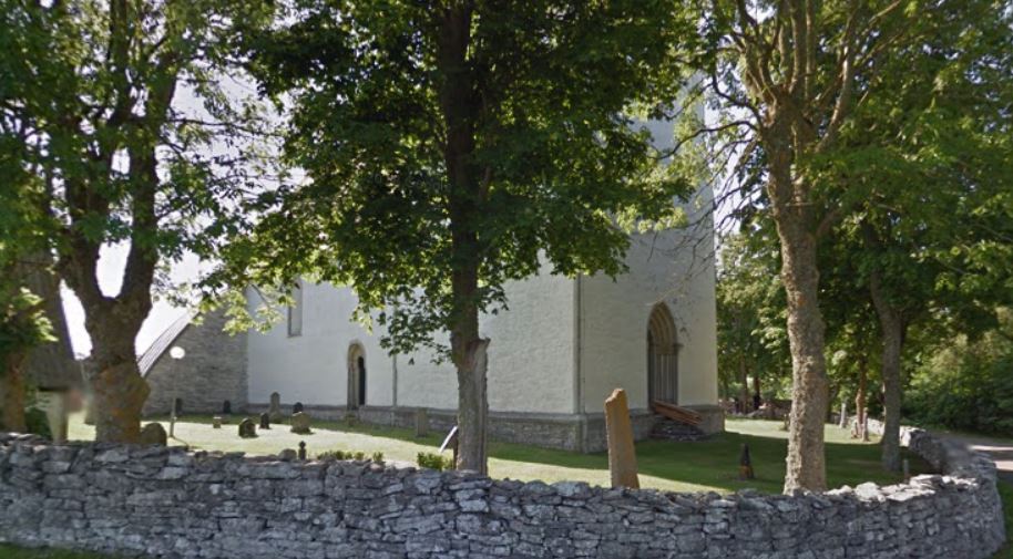
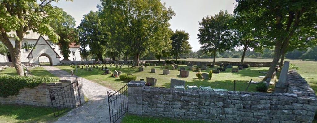
| Description | : | Rute parish existed until 2010, when Rute was incorporated in Bunge parish. Bunge is a small settlement situated in Gotland Municipality, Gotland County, Sweden. It is situated in the northernmost part of Gotland, southwest of Fårösund. Bunge Church is in Bunge. Bunge also has a private airfield, the Bunge Airbase. The hangar and the airfield are listed buildings. Gotland's (and one of Sweden's) most noted open-air museum is the Bunge museum. The museum has farms from three centuries (17th, 18th and 19th) and is also very active in practical old industry such as recreating tar kilns and charcoal piles. |
frequently asked questions (FAQ):
-
Where is Rute Cemetery?
Rute Cemetery is located at Bunge, Gotlands kommun ,Gotlands län , S-624 58 LSweden.
-
Rute Cemetery cemetery's updated grave count on graveviews.com?
0 memorials
-
Where are the coordinates of the Rute Cemetery?
Latitude: 57.8338770
Longitude: 18.9238580
Nearby Cemetories:
1. Fårö kyrkogård
Faro, Gotlands kommun, Sweden
Coordinate: 57.9157800, 19.1335250
2. Tingstäde kyrkogård
Tingstade, Gotlands kommun, Sweden
Coordinate: 57.7363490, 18.6155820
3. Stenkyrka Church
Stenkyrka, Gotlands kommun, Sweden
Coordinate: 57.7911967, 18.5310938
4. Lokrume kyrkogård
Lokrume, Gotlands kommun, Sweden
Coordinate: 57.6877837, 18.5389104
5. Bro kyrkogård
Gotlands kommun, Sweden
Coordinate: 57.6700088, 18.4744435
6. Väskinde kyrkogård
Vaskinde, Gotlands kommun, Sweden
Coordinate: 57.6904135, 18.4233850
7. Dalhems Kyrkogård
Gotlands kommun, Sweden
Coordinate: 57.5523749, 18.5340230
8. Visby Södra kyrkogård
Visby, Gotlands kommun, Sweden
Coordinate: 57.6308778, 18.2930808
9. Gammelgarn Cemetery
Gammelgarn, Gotlands kommun, Sweden
Coordinate: 57.4050000, 18.8040000
10. Västerhejde Kyrkogård
Gotlands kommun, Sweden
Coordinate: 57.5807943, 18.2462498
11. Viklau kyrka
Roma, Gotlands kommun, Sweden
Coordinate: 57.4653862, 18.4562196
12. Stenkumla Kyrka och Kyrkogård
Gotlands kommun, Sweden
Coordinate: 57.5477042, 18.2685287
13. Tofta Kyrkogård
Tofta, Gotlands kommun, Sweden
Coordinate: 57.5214280, 18.1689320
14. Hejde Kyrkogård
Hejde, Gotlands kommun, Sweden
Coordinate: 57.4128212, 18.3453104
15. Sanda Church Cemetery
Sanda, Gotlands kommun, Sweden
Coordinate: 57.4291844, 18.2235150
16. Lojsta
Hemse, Gotlands kommun, Sweden
Coordinate: 57.3130900, 18.3828500
17. Stånga Kyrkogård
Stanga, Gotlands kommun, Sweden
Coordinate: 57.2830560, 18.4658330
18. Rone-kyrka
Gotlands kommun, Sweden
Coordinate: 57.2094024, 18.4430813
19. Grötlingbo Churchyard
Gotlands kommun, Sweden
Coordinate: 57.1334350, 18.3466580
20. Torö kyrkogård
Nynäshamn, Nynäshamns kommun, Sweden
Coordinate: 58.8400760, 17.8418525
21. Loftahammar Cemetery
Loftahammar, Västerviks kommun, Sweden
Coordinate: 57.9072039, 16.6993056
22. Nynäshamns kyrkogård
Nynäshamn, Nynäshamns kommun, Sweden
Coordinate: 58.9143272, 17.9364936
23. Gamla Kyrkogården Västervik
Västerviks kommun, Sweden
Coordinate: 57.7565250, 16.6317240
24. Högby Kyrkogård
Lottorp, Borgholms kommun, Sweden
Coordinate: 57.1611481, 17.0165348

