
| Memorials | : | 230 |
| Location | : | Millbury, Worcester County, USA |
| Coordinate | : | 42.1951900, -71.7690100 |
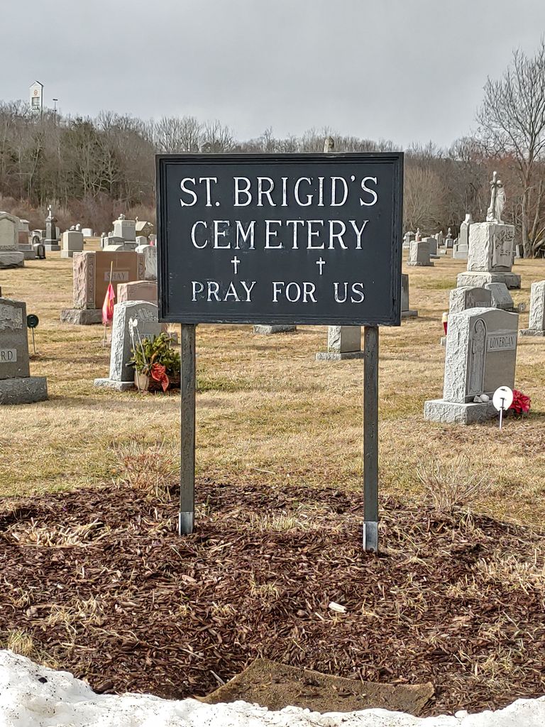
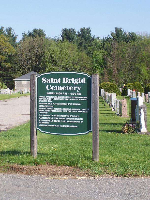
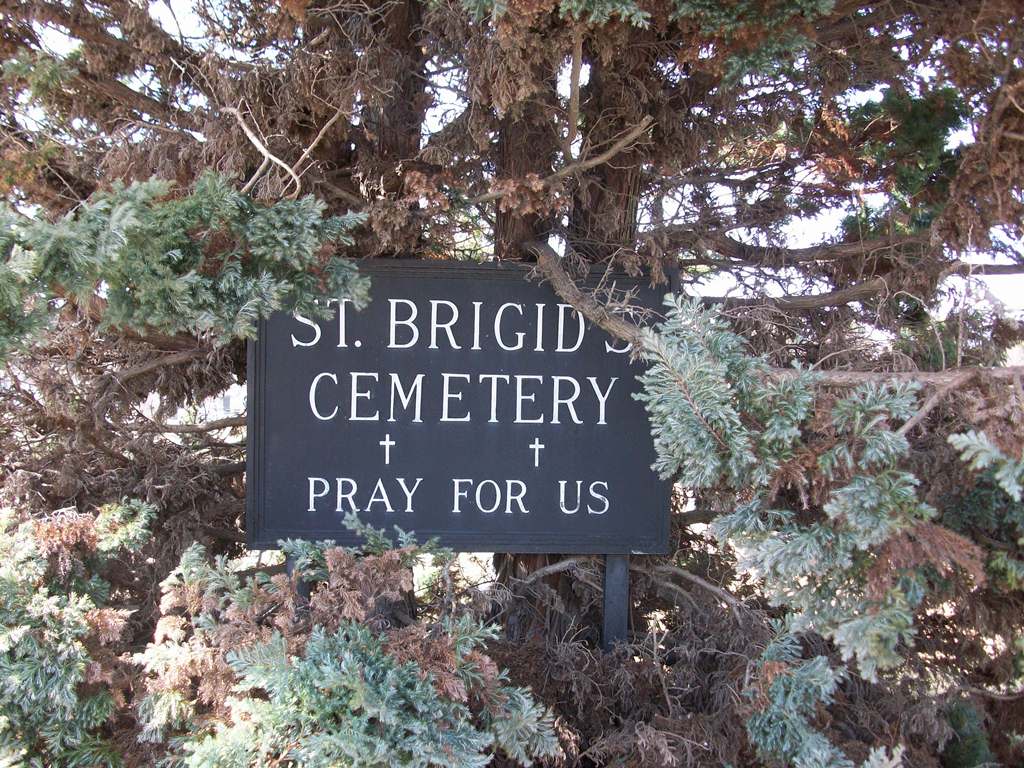
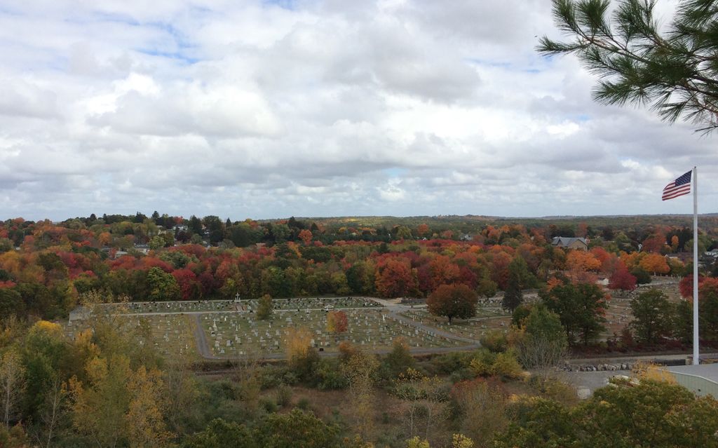
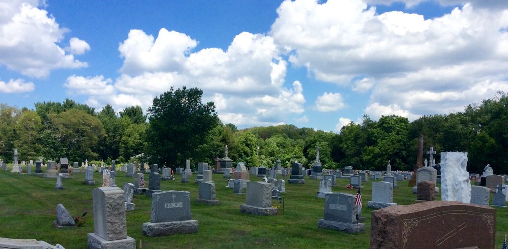
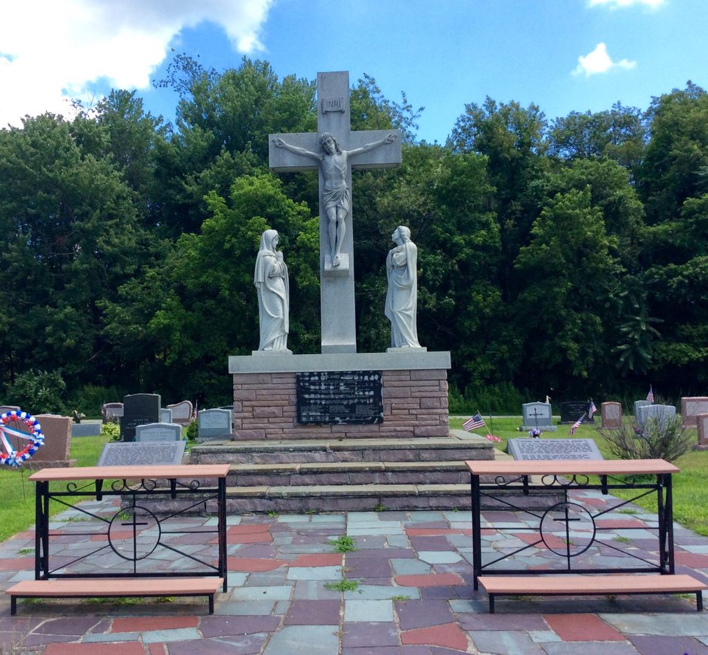
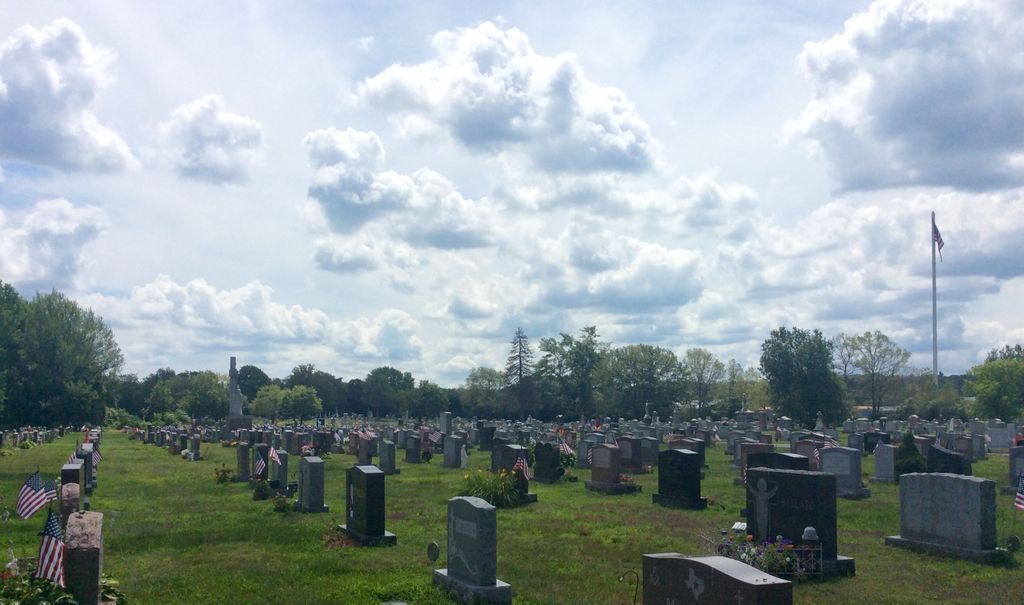
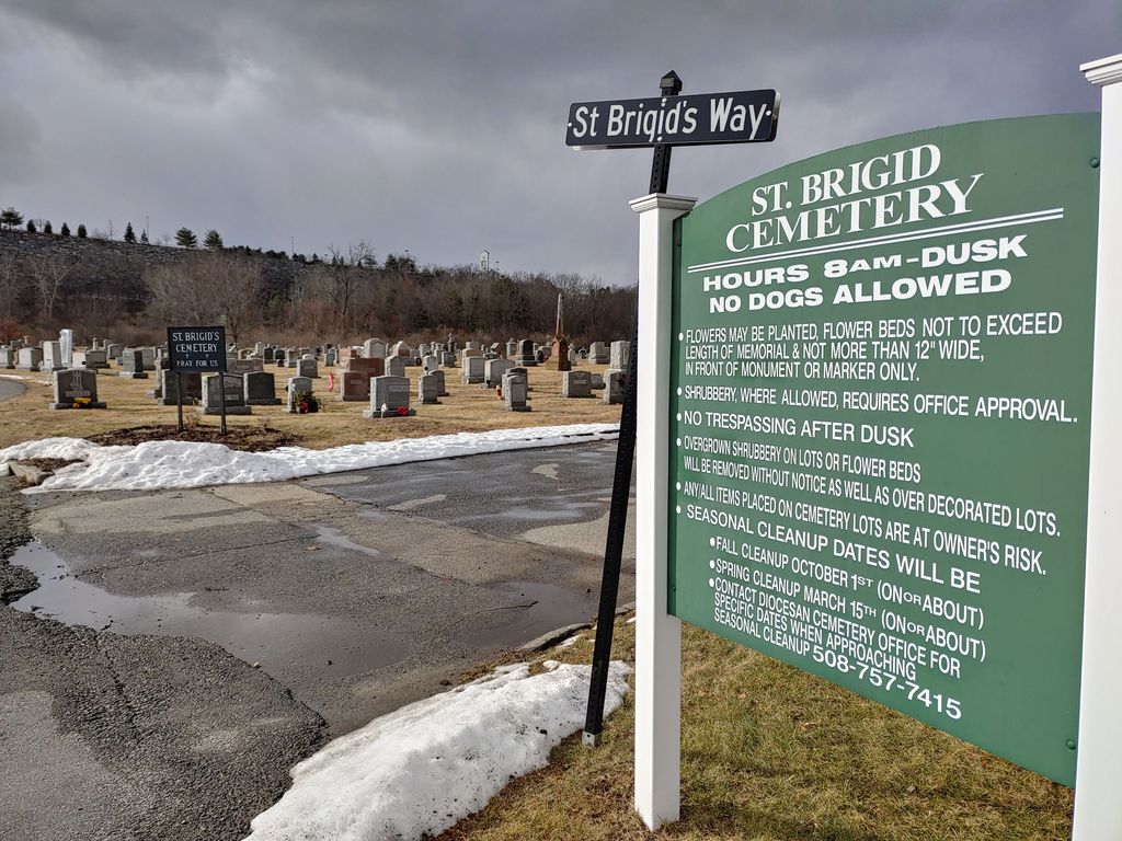
| Description | : | Saint Brigid Cemetery is located behind and is accessed through Central Cemetery. It is made up of three approximately rectangular sections. The road that runs approximately west to east across the front of Saint Brigid Cemetery services both St. Brigid and Central Cemeteries, with the graves on the south side of the road in Central Cemetery and on the north side of the road in St. Brigid Cemetery. Saint Brigid Cemetery is one of the cemeteries in the Diocese of Worcester cemetery system. The History of the Town of Millbury, Massachusetts published 1915 by The Town of Millbury states... Read More |
frequently asked questions (FAQ):
-
Where is Saint Brigid Cemetery?
Saint Brigid Cemetery is located at West Street Millbury, Worcester County ,Massachusetts , 01527USA.
-
Saint Brigid Cemetery cemetery's updated grave count on graveviews.com?
218 memorials
-
Where are the coordinates of the Saint Brigid Cemetery?
Latitude: 42.1951900
Longitude: -71.7690100
Nearby Cemetories:
1. Millbury Central Cemetery
Millbury, Worcester County, USA
Coordinate: 42.1939621, -71.7682953
2. Millbury Cemetery
Millbury, Worcester County, USA
Coordinate: 42.1914940, -71.7515945
3. Dwinell Cemetery
Millbury, Worcester County, USA
Coordinate: 42.1990100, -71.7945000
4. Freegrace Marble Farm Cemetery
Sutton, Worcester County, USA
Coordinate: 42.1637500, -71.7507600
5. West Millbury Cemetery
Millbury, Worcester County, USA
Coordinate: 42.1714249, -71.8044434
6. Quinsigamond Cemetery (Defunct)
Worcester, Worcester County, USA
Coordinate: 42.2268580, -71.7952640
7. Wilkinsonville Cemetery
Sutton, Worcester County, USA
Coordinate: 42.1716450, -71.7225750
8. Saint John's Episcopal Church Burial Site
Sutton, Worcester County, USA
Coordinate: 42.1745870, -71.7196110
9. Sutton Center Cemetery
Sutton, Worcester County, USA
Coordinate: 42.1492540, -71.7632000
10. Saint Thomas Church Memorial Garden
Auburn, Worcester County, USA
Coordinate: 42.1918392, -71.8315460
11. New Howard Cemetery
Sutton, Worcester County, USA
Coordinate: 42.1514620, -71.7475300
12. Old Howard Cemetery
Sutton, Worcester County, USA
Coordinate: 42.1513220, -71.7478470
13. Hillside Cemetery
Auburn, Worcester County, USA
Coordinate: 42.1972008, -71.8319016
14. Cole-Woodbury Cemetery
Sutton, Worcester County, USA
Coordinate: 42.1463310, -71.7676440
15. Saint Philips Catholic Cemetery
Grafton, Worcester County, USA
Coordinate: 42.2028008, -71.7027969
16. Auburn Center Burial Ground
Auburn, Worcester County, USA
Coordinate: 42.1940575, -71.8367920
17. Armsby Cemetery
Sutton, Worcester County, USA
Coordinate: 42.1516991, -71.7319031
18. College of the Holy Cross Cemetery
Worcester, Worcester County, USA
Coordinate: 42.2390600, -71.8067000
19. Putnam Cemetery
Sutton, Worcester County, USA
Coordinate: 42.1431500, -71.7800100
20. Carpenter Cemetery
Sutton, Worcester County, USA
Coordinate: 42.1425500, -71.7599300
21. Riverside Cemetery
Grafton, Worcester County, USA
Coordinate: 42.2057266, -71.6985550
22. Batcheller Farm Cemetery
Sutton, Worcester County, USA
Coordinate: 42.1434880, -71.7887510
23. Orchard View Cemetery
Sutton, Worcester County, USA
Coordinate: 42.1613760, -71.7107900
24. All Faiths Cemetery
Worcester, Worcester County, USA
Coordinate: 42.2291340, -71.8324330