| Memorials | : | 0 |
| Location | : | Peel Regional Municipality, Canada |
| Coordinate | : | 43.8698226, -80.0325520 |
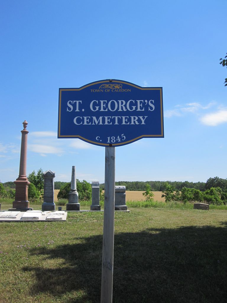
| Description | : | The OGS records say that the cemetery is located on Lot 20 Concession 1W in Caledon Township. Two acres were deeded to the church circa 1845 by William Willoughby who was the first person known to be buried there in 1853. By 1933 the cemetery was abandoned and used as grazing land for cattle and horses. Later the larger monuments were placed on a cement base and some of the broken ones were put into a cairn. |
frequently asked questions (FAQ):
-
Where is Saint George's Cemetery?
Saint George's Cemetery is located at 19355 Willoughby Road, Caledon, Ontario Peel Regional Municipality ,Ontario ,Canada.
-
Saint George's Cemetery cemetery's updated grave count on graveviews.com?
0 memorials
-
Where are the coordinates of the Saint George's Cemetery?
Latitude: 43.8698226
Longitude: -80.0325520
Nearby Cemetories:
1. Caledon United Church Cemetery
Caledon, Peel Regional Municipality, Canada
Coordinate: 43.8648360, -80.0013450
2. Alton Cemetery
Alton, Peel Regional Municipality, Canada
Coordinate: 43.8581581, -80.0661240
3. Saint Cornelius Roman Catholic Cemetery
Caledon, Peel Regional Municipality, Canada
Coordinate: 43.8354300, -79.9371900
4. Blair-Belfountain Cemetery
Belfountain, Peel Regional Municipality, Canada
Coordinate: 43.7930603, -80.0007019
5. Forest Lawn Cemetery
Orangeville, Dufferin County, Canada
Coordinate: 43.9349430, -80.0981640
6. Greenwood Cemetery
Orangeville, Dufferin County, Canada
Coordinate: 43.9121500, -80.1323500
7. Saint Francis Roman Catholic Cemetery
Mono, Dufferin County, Canada
Coordinate: 43.9504493, -79.9726131
8. Hughson Family Cemetery
Laurel, Dufferin County, Canada
Coordinate: 43.9281000, -80.1348000
9. Mono College Presbyterian Cemetery
Orangeville, Dufferin County, Canada
Coordinate: 43.9494200, -80.1049200
10. Greenlaw-Baker Cemetery
Belfountain, Peel Regional Municipality, Canada
Coordinate: 43.7804520, -79.9853610
11. Providence Methodist Cemetery
East Garafraxa, Dufferin County, Canada
Coordinate: 43.8900590, -80.1656360
12. Caledon East Public Cemetery
Caledon East, Peel Regional Municipality, Canada
Coordinate: 43.8899485, -79.8941312
13. Church of the Assumption Catholic Cemetery
Erin Township, Wellington County, Canada
Coordinate: 43.7684288, -80.0688324
14. Melville White Church Cemetery
Caledon, Peel Regional Municipality, Canada
Coordinate: 43.7715700, -79.9729600
15. Zion Wesleyan Methodist Cemetery
Mono, Dufferin County, Canada
Coordinate: 43.9548170, -80.1244380
16. Erin Cemetery
Erin Township, Wellington County, Canada
Coordinate: 43.7591600, -80.0497800
17. Mono East Cemetery
Mono, Dufferin County, Canada
Coordinate: 43.9743990, -79.9778650
18. McDonald Family Cemetery Rockside
Caledon, Peel Regional Municipality, Canada
Coordinate: 43.7739370, -79.9526170
19. Hillsburgh Pioneer Cemetery
Hillsburgh, Wellington County, Canada
Coordinate: 43.7870610, -80.1400340
20. Huxley Cemetery
Hillsburgh, Wellington County, Canada
Coordinate: 43.7999660, -80.1600710
21. Boston Mills Cemetery
Boston Mills, Peel Regional Municipality, Canada
Coordinate: 43.7728600, -79.9272110
22. Saint Johns Cemetery
Mono, Dufferin County, Canada
Coordinate: 43.9875630, -79.9789050
23. Caesar's Cemetery
Caledon, Peel Regional Municipality, Canada
Coordinate: 43.8220840, -79.8723270
24. St James Anglican Church Cemetery
Caledon East, Peel Regional Municipality, Canada
Coordinate: 43.8787613, -79.8547116

