
| Memorials | : | 20 |
| Location | : | Rising Sun, Crawford County, USA |
| Coordinate | : | 43.4104830, -90.9560660 |
frequently asked questions (FAQ):
-
Where is Saint James Cemetery?
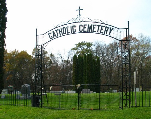
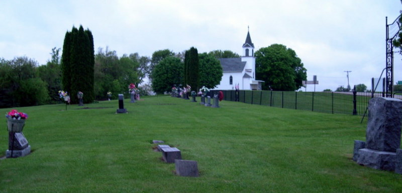
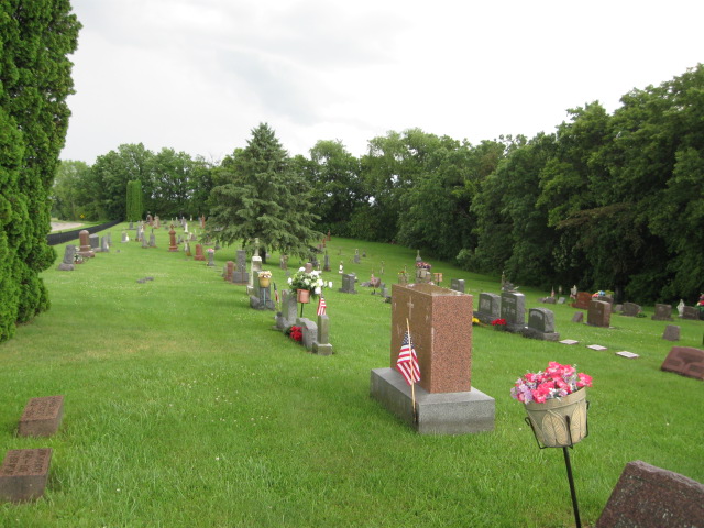
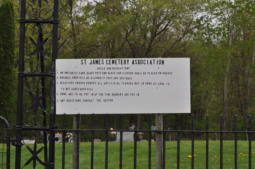
Saint James Cemetery is located at Rising Sun, Crawford County ,Wisconsin ,USA.
-
Saint James Cemetery cemetery's updated grave count on graveviews.com?
19 memorials
-
Where are the coordinates of the Saint James Cemetery?
Latitude: 43.4104830
Longitude: -90.9560660

Nearby Cemetories:
1. South West Prairie Cemetery
Fargo, Vernon County, USA
Coordinate: 43.4262660, -90.9923500
2. West Prairie Hauge Lutheran Cemetery
West Prairie, Vernon County, USA
Coordinate: 43.4346600, -90.9923320
3. Towerville Cemetery
Towerville, Crawford County, USA
Coordinate: 43.4035350, -90.8878540
4. Eitsert Cemetery
Fairview, Crawford County, USA
Coordinate: 43.3602982, -90.9638977
5. Fargo Cemetery
West Prairie, Vernon County, USA
Coordinate: 43.4562640, -91.0007000
6. Utica Lutheran Church Cemetery
Mount Sterling, Crawford County, USA
Coordinate: 43.3506000, -90.9381830
7. Henderson Family Plot
Liberty Pole, Vernon County, USA
Coordinate: 43.4684500, -90.9266000
8. Freeman Cemetery
Ferryville, Crawford County, USA
Coordinate: 43.3955300, -91.0429100
9. North West Prairie Cemetery
West Prairie, Vernon County, USA
Coordinate: 43.4661670, -91.0125000
10. Hinkst Family Plot
Liberty Pole, Vernon County, USA
Coordinate: 43.4723600, -90.9003700
11. Cade Family Plot
Liberty Pole, Vernon County, USA
Coordinate: 43.4869700, -90.9146300
12. Clawater Plot
Liberty Pole, Vernon County, USA
Coordinate: 43.4883190, -90.9135930
13. Tell Cemetery
Towerville, Crawford County, USA
Coordinate: 43.4113700, -90.8374800
14. South Kickapoo Cemetery
Soldiers Grove, Crawford County, USA
Coordinate: 43.4166170, -90.8375170
15. North Kickapoo Cemetery
Folsom, Vernon County, USA
Coordinate: 43.4276170, -90.8377330
16. Franklin Lutheran Church Cemetery
Folsom, Vernon County, USA
Coordinate: 43.4380875, -90.8379669
17. Walnut Mound Cemetery
Retreat, Vernon County, USA
Coordinate: 43.4463997, -91.0718994
18. Liberty Pole Cemetery
Viroqua, Vernon County, USA
Coordinate: 43.4954500, -90.9083000
19. Mount Sterling Lutheran Cemetery
Mount Sterling, Crawford County, USA
Coordinate: 43.3174000, -90.9259830
20. Fortney Cemetery
Viroqua, Vernon County, USA
Coordinate: 43.4383100, -90.8281900
21. McAuley-Halls-Branch Pioneer Cemetery
Mount Sterling, Crawford County, USA
Coordinate: 43.3173800, -90.9168430
22. Rush Creek Cemetery
Ferryville, Crawford County, USA
Coordinate: 43.3994330, -91.0911160
23. Osgood Family Plot
Viroqua, Vernon County, USA
Coordinate: 43.5164000, -90.9580300
24. Ferryville Cemetery
Ferryville, Crawford County, USA
Coordinate: 43.3414170, -91.0775000