| Memorials | : | 0 |
| Location | : | Strawberry, Berkeley County, USA |
| Coordinate | : | 33.0681020, -80.0210730 |
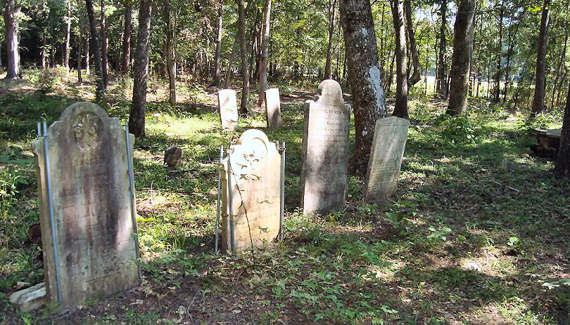
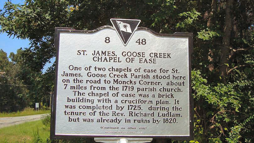
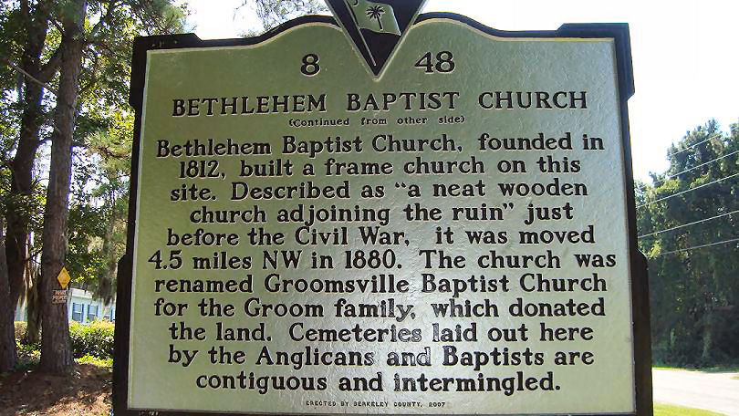
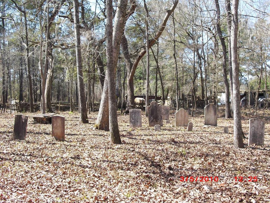
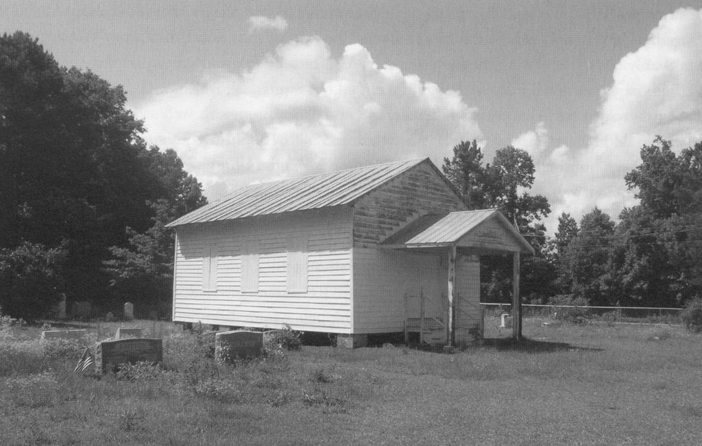
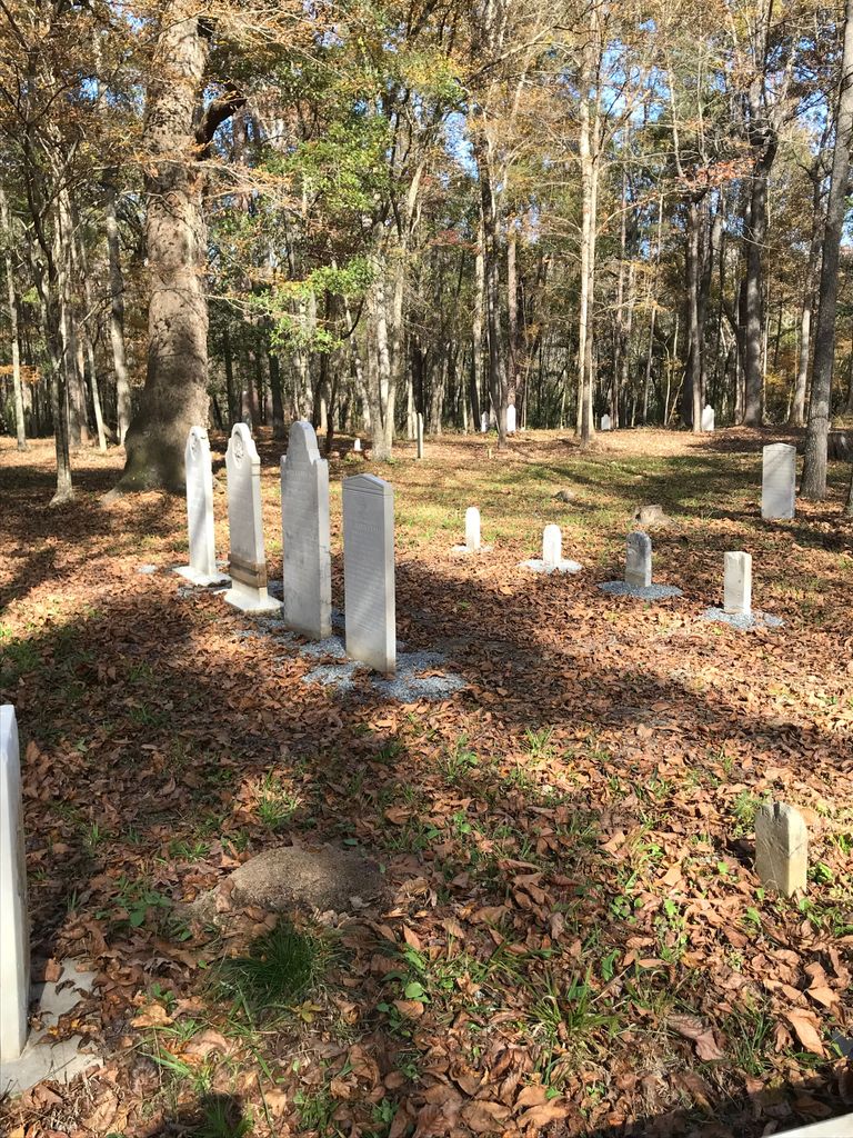
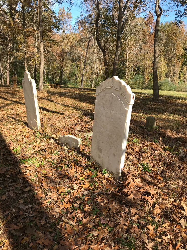
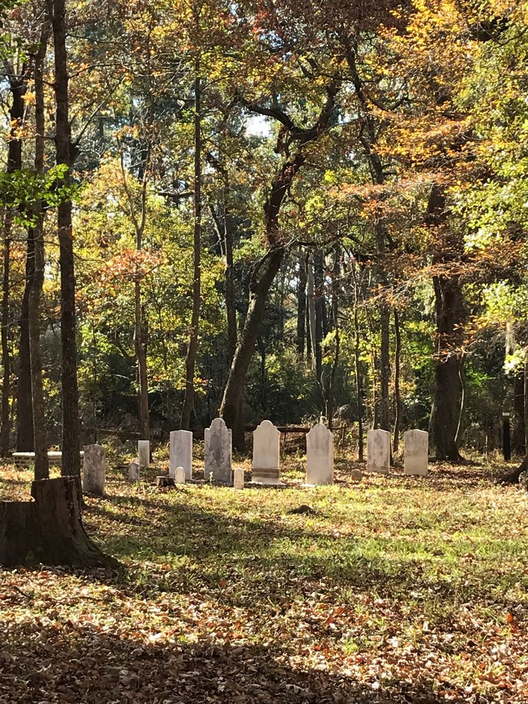
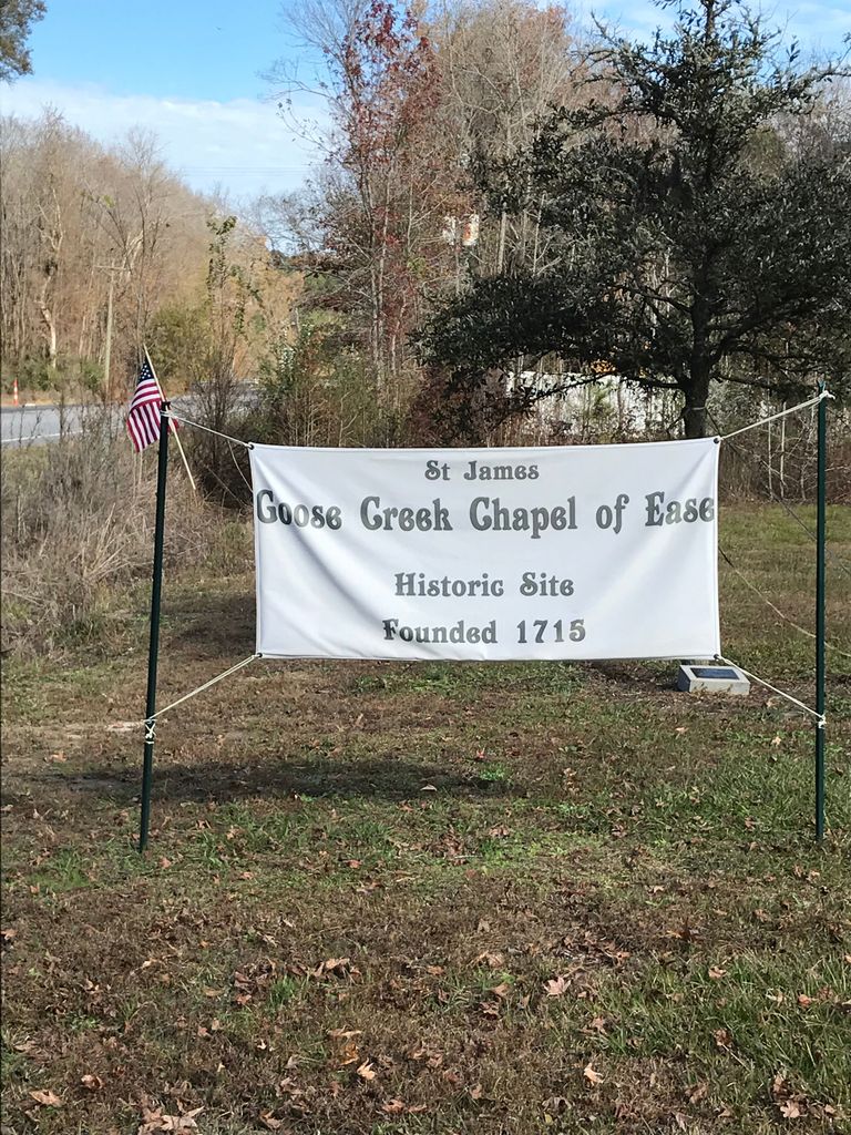
| Description | : | Take Highway 52 north out of Goose Creek Berkeley County, South Carolina. Take a right on Old Highway 52. Then take a right on Avanti Lane. This cemetery will be a few yards off of Old 52 in the woods. Keep in mind that this is a very old cemetery. It is hard to read the information on the stones. The Baptist built their church next to the Anglican church, after it was destroyed. Archaeological digs indicate that it probably burned. Anyway, the cemeteries of both these churches are blended together. |
frequently asked questions (FAQ):
-
Where is Saint James Chapel of Ease Cemetery?
Saint James Chapel of Ease Cemetery is located at Old Fort Road / Old U.S. 52 Strawberry, Berkeley County ,South Carolina , 29461USA.
-
Saint James Chapel of Ease Cemetery cemetery's updated grave count on graveviews.com?
0 memorials
-
Where are the coordinates of the Saint James Chapel of Ease Cemetery?
Latitude: 33.0681020
Longitude: -80.0210730
Nearby Cemetories:
1. New Providence Baptist Church Cemetery
Strawberry, Berkeley County, USA
Coordinate: 33.0723070, -80.0214620
2. Whispering Pines Memorial Gardens
Strawberry, Berkeley County, USA
Coordinate: 33.0616989, -80.0306015
3. Groomsville Baptist Church Cemetery
Mount Holly, Berkeley County, USA
Coordinate: 33.0882988, -80.0552979
4. Smyrna United Methodist Church Cemetery
Goose Creek, Berkeley County, USA
Coordinate: 33.0853004, -80.0580978
5. Promiseland Cemetery
Strawberry, Berkeley County, USA
Coordinate: 33.0851370, -79.9736060
6. Promised Land Church Cemetery
Moncks Corner, Berkeley County, USA
Coordinate: 33.0850360, -79.9735270
7. Varner Family Cemetery
Mount Holly, Berkeley County, USA
Coordinate: 33.0726630, -80.0755320
8. Droze Cemetery
Goose Creek, Berkeley County, USA
Coordinate: 33.0299988, -80.0569000
9. Parnassus Plantation Cemetery
Berkeley County, USA
Coordinate: 33.0360985, -79.9717026
10. Grove Hall U.M. Church Cemetery
Summerville, Berkeley County, USA
Coordinate: 33.0467560, -80.0783440
11. Grove Hall Plantation Cemetery
Berkeley County, USA
Coordinate: 33.0452200, -80.0777500
12. Whaley Family Cemetery
Mount Holly, Berkeley County, USA
Coordinate: 33.0547140, -80.0824010
13. Casey Cemetery
Goose Creek, Berkeley County, USA
Coordinate: 33.0183550, -80.0432930
14. New Grove Hall Christian Church Cemetery
Summerville, Berkeley County, USA
Coordinate: 33.0489800, -80.0817000
15. Plantation Memorial Gardens
Moncks Corner, Berkeley County, USA
Coordinate: 33.0780983, -80.0860977
16. Williams Family Cemetery
Mount Holly, Berkeley County, USA
Coordinate: 33.0738983, -80.0871964
17. Medway Plantation Cemetery
Berkeley County, USA
Coordinate: 33.0321999, -79.9697037
18. Gateway Community Church Cemetery
Moncks Corner, Berkeley County, USA
Coordinate: 33.0722200, -80.0880600
19. New Home Baptist Church Cemetery
Moncks Corner, Berkeley County, USA
Coordinate: 33.1245700, -80.0188990
20. Saint Johns Bethel Baptist Church Cemetery
Moncks Corner, Berkeley County, USA
Coordinate: 33.1202740, -80.0662074
21. Cypress Gardens Cemetery
Kittredge, Berkeley County, USA
Coordinate: 33.0466995, -79.9471970
22. Huff Cemetery
Berkeley County, USA
Coordinate: 33.0275002, -80.0883026
23. Pear Cemetery
Berkeley County, USA
Coordinate: 33.0289001, -80.0935974
24. Laurens Family Cemetery
Moncks Corner, Berkeley County, USA
Coordinate: 33.1173870, -79.9570050

