| Memorials | : | 776 |
| Location | : | Innisville, Lanark County, Canada |
| Coordinate | : | 45.0860977, -76.2448807 |
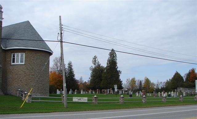
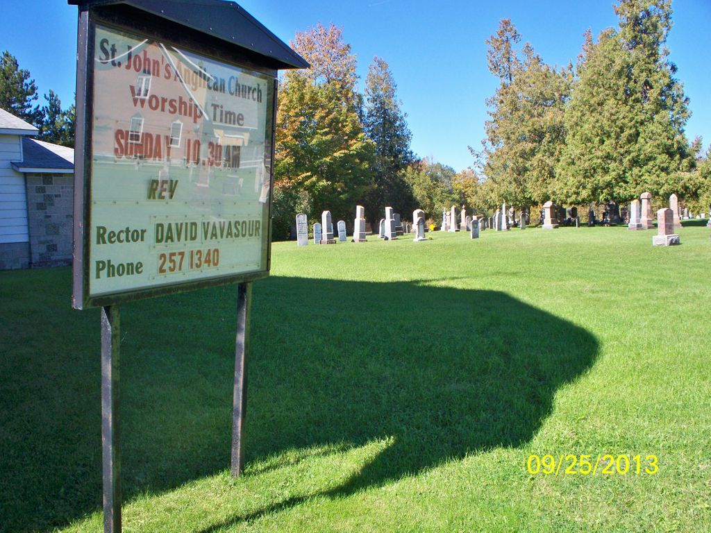
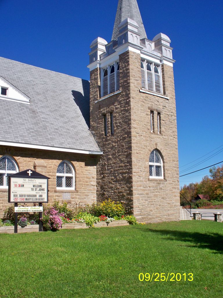
| Description | : | ocated at Lot 1, Concession 12 in Lanark Township in Lanark County, at the corner of Highway 7 and Fergusons Falls Road. Before the church was built, the Anglicans and Methodists worshiped in a log building near Boyd’s Corner. This was also their first school house and was called “The Meeting House”. Some of the first Anglicans obtained a portion of land on the corner where the church now stands. It was here that the church was built and a cemetery begun. Old St. John’s Church was built about 1834. In 1911 the new St. John’s Church was built. |
frequently asked questions (FAQ):
-
Where is Saint John's Anglican Cemetery?
Saint John's Anglican Cemetery is located at 110 Fergusons Falls Road Innisville, Lanark County ,Ontario , K7C 0C5Canada.
-
Saint John's Anglican Cemetery cemetery's updated grave count on graveviews.com?
775 memorials
-
Where are the coordinates of the Saint John's Anglican Cemetery?
Latitude: 45.0860977
Longitude: -76.2448807
Nearby Cemetories:
1. Boyd's Methodist Cemetery
Boyds, Lanark County, Canada
Coordinate: 45.0912450, -76.2522420
2. Saint Patrick's Roman Catholic Cemetery
Fergusons Falls, Lanark County, Canada
Coordinate: 45.0553980, -76.2856990
3. Sinclair Pioneer Cemetery
Carleton Place, Lanark County, Canada
Coordinate: 45.0689030, -76.1891210
4. Tennant Cemetery
Almonte, Lanark County, Canada
Coordinate: 45.0972900, -76.3047670
5. Saint Mary's Roman Catholic Cemetery
Beckwith, Lanark County, Canada
Coordinate: 45.1288890, -76.1716670
6. Rosetta Cemetery
Rosetta, Lanark County, Canada
Coordinate: 45.1194900, -76.3333300
7. Prestonvale Cemetery
Prestonvale, Lanark County, Canada
Coordinate: 45.0213420, -76.2857260
8. Drummond Centre Community Cemetery
Drummond, Lanark County, Canada
Coordinate: 45.0152470, -76.2346910
9. Tennyson-McGregor Cemetery
Drummond, Lanark County, Canada
Coordinate: 45.0364720, -76.1603360
10. Robertson-Kellough Cemetery
Union Hall, Lanark County, Canada
Coordinate: 45.1537780, -76.3027740
11. Robertson Cemetery
Drummond, Lanark County, Canada
Coordinate: 45.0188425, -76.1858338
12. Willis Family Cemetery
Carleton Place, Lanark County, Canada
Coordinate: 45.1317640, -76.1508170
13. Saint George's Anglican Cemetery
Union Hall, Lanark County, Canada
Coordinate: 45.1591600, -76.3027210
14. Pine Grove Cemetery
Lanark, Lanark County, Canada
Coordinate: 45.0409580, -76.3446810
15. Pioneer Cemetery
Drummond, Lanark County, Canada
Coordinate: 45.0010890, -76.2342690
16. Morphy Family Burying Ground
Carleton Place, Lanark County, Canada
Coordinate: 45.1383090, -76.1465250
17. Saint James Cemetery
Carleton Place, Lanark County, Canada
Coordinate: 45.1571400, -76.1472900
18. Middleville Pioneer Cemetery
Middleville, Lanark County, Canada
Coordinate: 45.0976420, -76.3958680
19. Saint Paul's Anglican Cemetery
Lanark, Lanark County, Canada
Coordinate: 45.0158790, -76.3612520
20. Sacred Heart Roman Catholic Cemetery
Lanark, Lanark County, Canada
Coordinate: 45.0137110, -76.3598740
21. Greenwood Cemetery
Lanark Highlands, Lanark County, Canada
Coordinate: 45.1092000, -76.3978000
22. Lanark Village Cemetery
Lanark, Lanark County, Canada
Coordinate: 45.0187910, -76.3700450
23. Clayton Methodist Cemetery
Clayton, Lanark County, Canada
Coordinate: 45.1845060, -76.3210730
24. Baird Family Plot
Carleton Place, Lanark County, Canada
Coordinate: 45.1659683, -76.1214453


