
| Memorials | : | 0 |
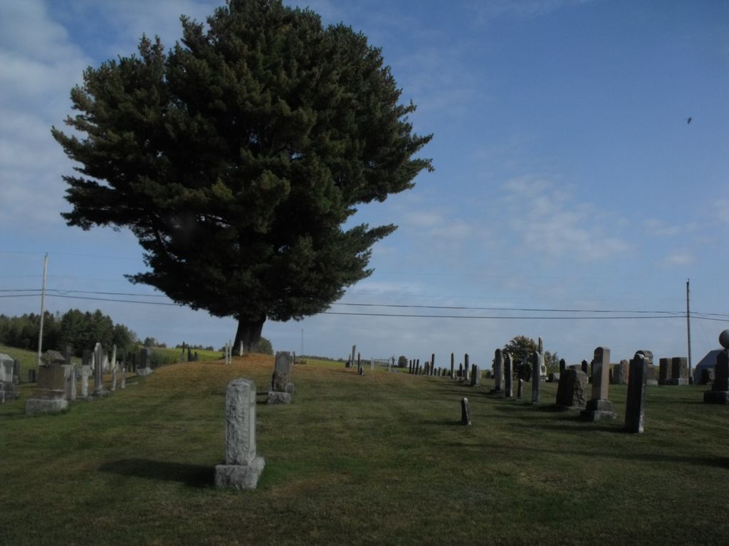
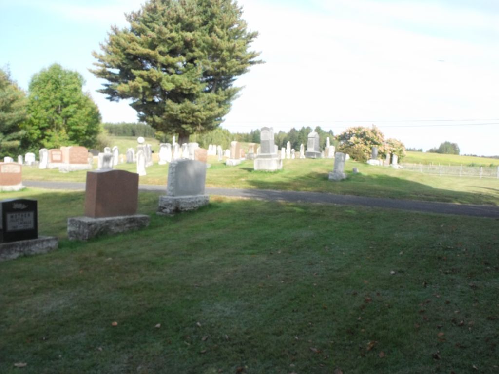
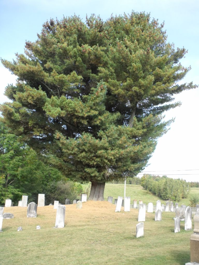
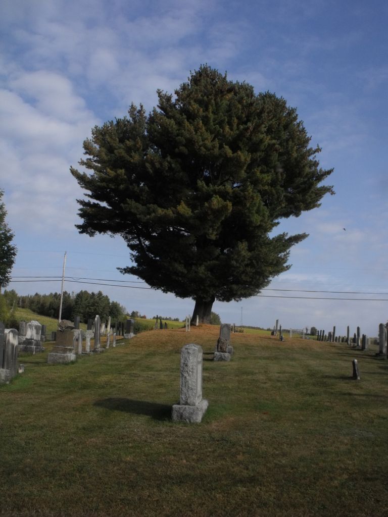
| Location | : | Melbourne, Estrie Region, Canada |
| Coordinate | : | 45.6312360, -72.1841460 |
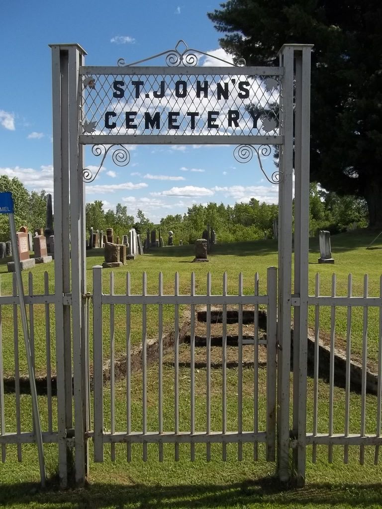
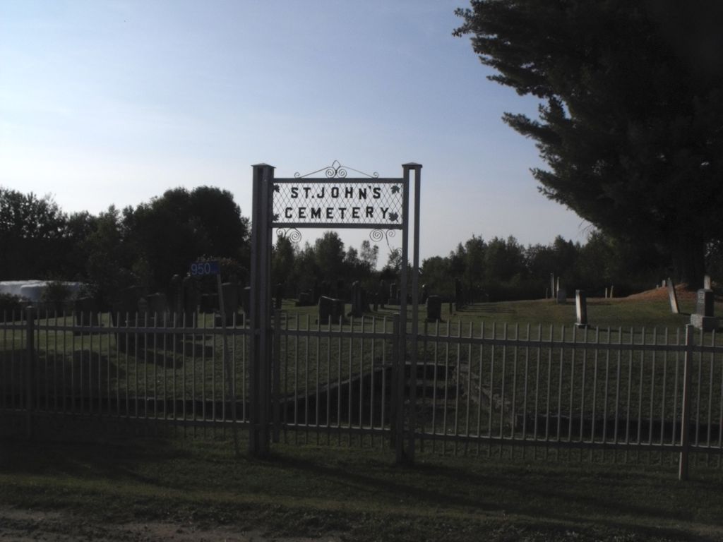
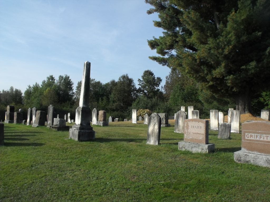
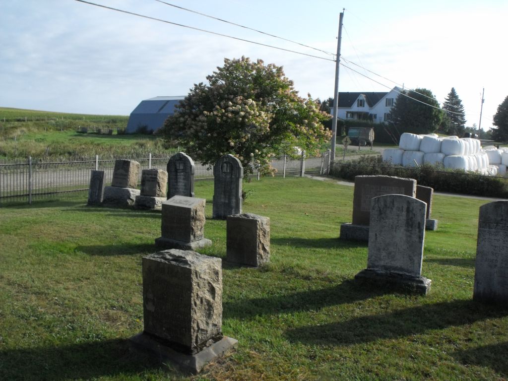
| Description | : | Location: Out of Sherbrooke, Quebec, follow Route 55 North towards Richmond, Quebec. Take exit 85 for Melbourne, and travel North into Melbourne. At the first four- way intersection, turn left onto Bridge Street and this cemetery will be found on the outskirts of town. Notes: In the early 1800's when Joseph Gallup first came to this area, he was granted land in the Township of Melbourne. He was followed by other Gallup families, and so this community quickly became known as "Gallup Hill". As the population grew, a church was erected and a burial ground was established in 1876. In... Read More |
frequently asked questions (FAQ):
-
Where is Saint John's Cemetery?
Saint John's Cemetery is located at Melbourne, Estrie Region ,Quebec ,Canada.
-
Saint John's Cemetery cemetery's updated grave count on graveviews.com?
0 memorials
-
Where are the coordinates of the Saint John's Cemetery?
Latitude: 45.6312360
Longitude: -72.1841460
Nearby Cemetories:
1. Saint Andrews Cemetery
Melbourne, Estrie Region, Canada
Coordinate: 45.6395850, -72.1466390
2. Maple Grove Cemetery
Richmond, Estrie Region, Canada
Coordinate: 45.6560000, -72.1491700
3. Saint Anne's Cemetery
Richmond, Estrie Region, Canada
Coordinate: 45.6482800, -72.1378380
4. Stone School House Cemetery
Richmond, Estrie Region, Canada
Coordinate: 45.6728700, -72.1818100
5. Melbourne Ridge Cemetery
Melbourne Ridge, Estrie Region, Canada
Coordinate: 45.5880350, -72.1810020
6. Cimetière Sainte-Bibiane
Richmond, Estrie Region, Canada
Coordinate: 45.6709240, -72.1476920
7. Trenholm United Church Cemetery
Trenholm, Centre-du-Quebec Region, Canada
Coordinate: 45.7029990, -72.2063970
8. Cimetière Sainte-Marie
Maricourt, Estrie Region, Canada
Coordinate: 45.5644840, -72.2615220
9. Saint James Cemetery
Durham-Sud, Centre-du-Quebec Region, Canada
Coordinate: 45.6527300, -72.3096700
10. Flodden Cemetery
Flodden, Estrie Region, Canada
Coordinate: 45.5193380, -72.1995740
11. Durham Congregational Cemetery
Durham-Sud, Centre-du-Quebec Region, Canada
Coordinate: 45.6651190, -72.3389870
12. Saint Fulgence Cemetery
Durham-Sud, Centre-du-Quebec Region, Canada
Coordinate: 45.6681220, -72.3396200
13. Dalling Cemetery
Dalling, Estrie Region, Canada
Coordinate: 45.5403600, -72.2868300
14. Spooner Pond Cemetery
Saint-Félix-de-Kingsey, Centre-du-Quebec Region, Canada
Coordinate: 45.7500320, -72.2010650
15. Bethel Cemetery
Monteregie Region, Canada
Coordinate: 45.5896900, -72.3540300
16. Cimetière Pionnier Familiale Husk
L'Avenir, Centre-du-Quebec Region, Canada
Coordinate: 45.7525380, -72.2353960
17. Denison's Mills Cemetery
Denison Mills, Estrie Region, Canada
Coordinate: 45.7482670, -72.1032030
18. Cimetière Saint-Théophile
Racine, Estrie Region, Canada
Coordinate: 45.5011740, -72.2478100
19. All Saints Church Cemetery
Davidson Hill, Monteregie Region, Canada
Coordinate: 45.5797380, -72.3772640
20. Cimetière Anglicane Saint-Paul
L'Avenir, Centre-du-Quebec Region, Canada
Coordinate: 45.7608710, -72.2999980
21. Maplewood Cemetery
Saint-Félix-de-Kingsey, Centre-du-Quebec Region, Canada
Coordinate: 45.7791370, -72.2397420
22. Cimetiere Ste Jeanne D'Arc
Lefebvre, Centre-du-Quebec Region, Canada
Coordinate: 45.7926690, -72.1867260
23. Cimetière Saint-Pierre-Apôtre
L'Avenir, Centre-du-Quebec Region, Canada
Coordinate: 45.7682610, -72.3093560
24. Sydenham Place
Sydenham Place, Centre-du-Quebec Region, Canada
Coordinate: 45.7986930, -72.2243110