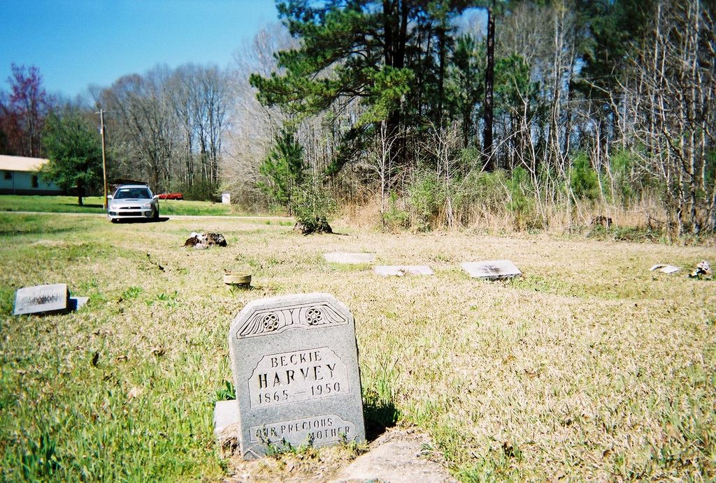
| Memorials | : | 0 |
| Location | : | Marion County, USA |
| Coordinate | : | 31.3212600, -89.8650600 |
| Description | : | African American Cemetery. SW1/4 S12 T4N R19W, In Expose. Directions: From the Hwy 35 intersection, proceed north on Hwy 13 for 2.9 miles to the Expose Community, and turn left at the crossroad (church is on the corner). Go 0.2 mile, and after the road bends to the left, the cemetery will be on the left. There are many more unmarked graves in this cemetery. |
frequently asked questions (FAQ):
-
Where is Saint John Cemetery?
Saint John Cemetery is located at Marion County ,Mississippi ,USA.
-
Saint John Cemetery cemetery's updated grave count on graveviews.com?
0 memorials
-
Where are the coordinates of the Saint John Cemetery?
Latitude: 31.3212600
Longitude: -89.8650600
Nearby Cemetories:
1. Expose Cemetery
Marion County, USA
Coordinate: 31.3208008, -89.8653030
2. Burrell Cemetery
Expose, Marion County, USA
Coordinate: 31.3204400, -89.8668600
3. Cedar Grove Cemetery
Columbia, Marion County, USA
Coordinate: 31.3089008, -89.8531036
4. Old Saint John Cemetery
Goss, Marion County, USA
Coordinate: 31.3375800, -89.8661500
5. Blackburn Cemetery
Goss, Marion County, USA
Coordinate: 31.3383300, -89.8623100
6. Sipp Cemetery
Goss, Marion County, USA
Coordinate: 31.3391300, -89.8708100
7. Oak Grove Apostolic Cemetery
Marion County, USA
Coordinate: 31.2964001, -89.8983002
8. Geeston Family Cemetery
Marion County, USA
Coordinate: 31.3220700, -89.8165500
9. Emmanuel Cemetery
Marion County, USA
Coordinate: 31.3066998, -89.8189011
10. Rodney Thornhill Family Cemetery
Foxworth, Marion County, USA
Coordinate: 31.3096360, -89.9172570
11. William T. Lenoir Cemetery
Morgantown, Marion County, USA
Coordinate: 31.3124300, -89.9214400
12. Harmony Cemetery
Marion County, USA
Coordinate: 31.2838993, -89.8255997
13. Morgantown Cemetery
Morgantown, Marion County, USA
Coordinate: 31.3097000, -89.9235992
14. Smith Family Cemetery
Morgantown, Marion County, USA
Coordinate: 31.3097510, -89.9238540
15. Newsom Cemetery
Marion County, USA
Coordinate: 31.3435300, -89.9203000
16. Old Harmony Church Cemetery
Columbia, Marion County, USA
Coordinate: 31.2739820, -89.8372480
17. Pope Cemetery
Columbia, Marion County, USA
Coordinate: 31.2635994, -89.8431015
18. Rest Haven
Columbia, Marion County, USA
Coordinate: 31.2663850, -89.8284440
19. North Columbia City Cemetery
Columbia, Marion County, USA
Coordinate: 31.2649994, -89.8285980
20. William Polk Cemetery
Bunker Hill, Marion County, USA
Coordinate: 31.3614060, -89.7996710
21. Columbia City Cemetery
Columbia, Marion County, USA
Coordinate: 31.2549992, -89.8339005
22. Gates Road Cemetery
Improve, Marion County, USA
Coordinate: 31.3069950, -89.7724570
23. New Hope Missionary Baptist Church Cemetery
Goss, Marion County, USA
Coordinate: 31.3863300, -89.9267000
24. Old Bunker Hill Cemetery
Bunker Hill, Marion County, USA
Coordinate: 31.3889008, -89.8028030

