
| Memorials | : | 107 |
| Location | : | Mellette County, USA |
| Coordinate | : | 43.3957000, -100.8190000 |
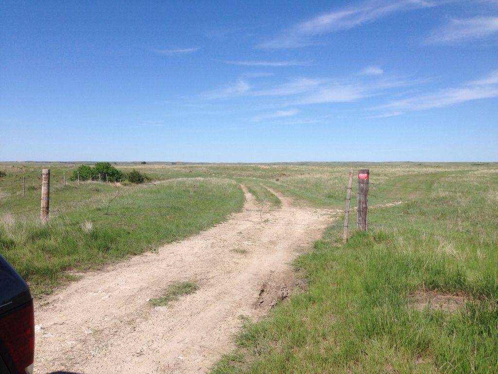
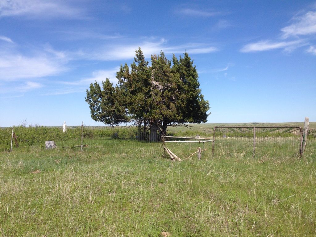
| Description | : | Location: Latitude: 43.395700 Longitude: -100.819000 Ring Thunder Township Township 40N, Range 30W, Section 36 First recorded burial in 1890. On 12 Oct 1917 the United States government issued a Land Patent to the Domestic and Foreign Missionary Society (the legal name of the national church corporate body) of the Protestant Episcopal Church in the United States of America. The land is within the jurisdiction of the Episcopal Diocese of South Dakota, and is held in trust by the Chapter of Calvary Episcopal Cathedral, in Sioux Falls, South Dakota. Accessible only by walking or driving into pasture land. Fenced in area, with few stone memorials. There... Read More |
frequently asked questions (FAQ):
-
Where is Saint John Episcopal Cemetery?
Saint John Episcopal Cemetery is located at Mellette County ,South Dakota ,USA.
-
Saint John Episcopal Cemetery cemetery's updated grave count on graveviews.com?
107 memorials
-
Where are the coordinates of the Saint John Episcopal Cemetery?
Latitude: 43.3957000
Longitude: -100.8190000
Nearby Cemetories:
1. Saint John Cemetery
Norris, Mellette County, USA
Coordinate: 43.3960991, -100.8181000
2. Ring Thunder Sacred Heart Cemetery
Mellette County, USA
Coordinate: 43.4143982, -100.7947006
3. Sicangu Akicita Owicahe Tribal Veterans Cemetery
White River, Mellette County, USA
Coordinate: 43.4299200, -100.7398600
4. Holy Family Cemetery
Mellette County, USA
Coordinate: 43.4045100, -100.7208400
5. Bronco Bill Cemetery
White River, Mellette County, USA
Coordinate: 43.4461800, -100.7417400
6. Body of Christ Cemetery
White River, Mellette County, USA
Coordinate: 43.4461900, -100.7417300
7. Grace Chapel Cemetery
Soldier Creek, Todd County, USA
Coordinate: 43.3166070, -100.8790610
8. Rosebud Cemetery
Rosebud, Todd County, USA
Coordinate: 43.3454720, -100.7110170
9. Bear Looks Behind Cemetery
White River, Mellette County, USA
Coordinate: 43.4823700, -100.7369900
10. Holy Family Cemetery
Todd County, USA
Coordinate: 43.3816986, -100.9661026
11. Saints Philip and James Cemetery
White River, Mellette County, USA
Coordinate: 43.4910700, -100.7400400
12. Saint Marks Cemetery
Parmelee, Todd County, USA
Coordinate: 43.3707600, -100.9957600
13. Spotted Elk Cemetery
White River, Mellette County, USA
Coordinate: 43.4066400, -100.6386800
14. Salt Camp Cemetery
Todd County, USA
Coordinate: 43.2771988, -100.9393997
15. Zions Lutheran Cemetery
Mission, Todd County, USA
Coordinate: 43.3052760, -100.6528920
16. Spotted Tail Cemetery
Rosebud, Todd County, USA
Coordinate: 43.2416992, -100.8518982
17. Saint Thomas Catholic Cemetery
Antelope, Todd County, USA
Coordinate: 43.3045500, -100.6430400
18. Trinity Cemetery
Mission, Todd County, USA
Coordinate: 43.3025017, -100.6442032
19. Ironwood Cemetery
Todd County, USA
Coordinate: 43.2738991, -100.9580994
20. Saint James Cemetery
White River, Mellette County, USA
Coordinate: 43.5483243, -100.7559631
21. Saint James Cemetery
White River, Mellette County, USA
Coordinate: 43.5483017, -100.7556000
22. Zion Lutheran Cemetery
Norris, Mellette County, USA
Coordinate: 43.4683400, -101.0277900
23. Saint Agnes Church Cemetery
Parmelee, Todd County, USA
Coordinate: 43.3238300, -101.0301100
24. Peace Cemetery
Mission, Todd County, USA
Coordinate: 43.2746200, -100.6502800