
| Memorials | : | 3 |
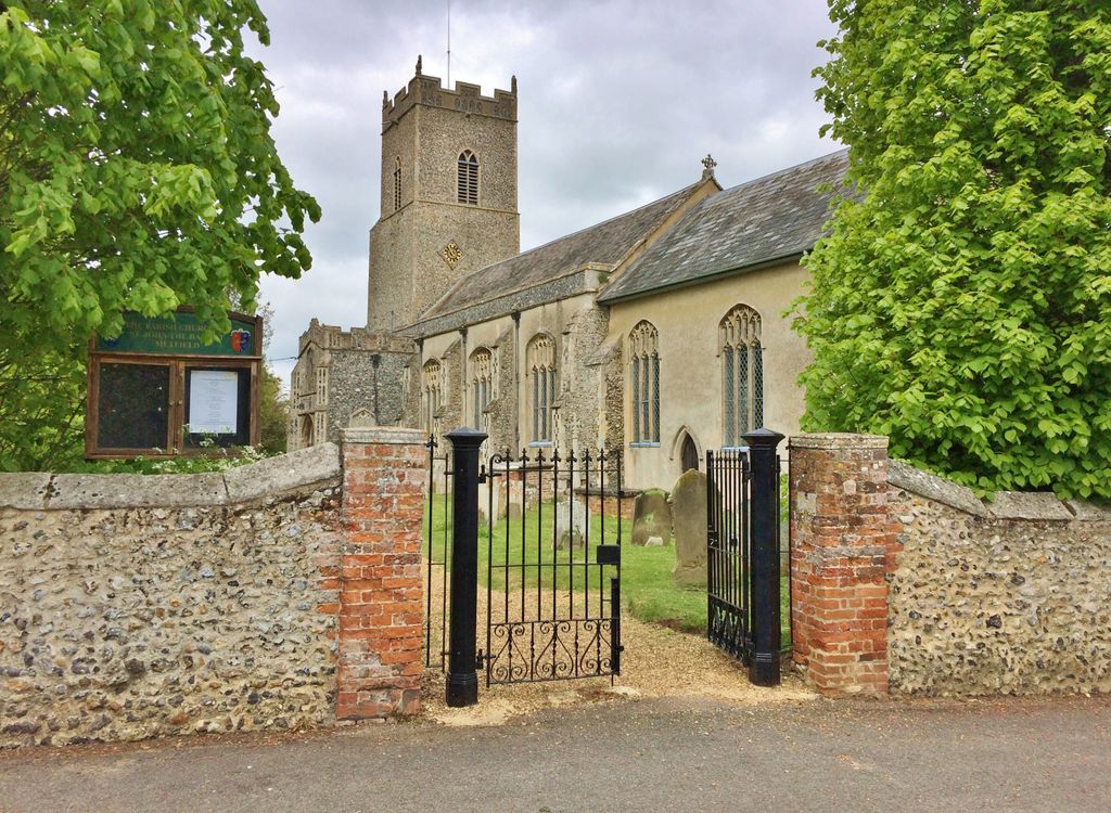
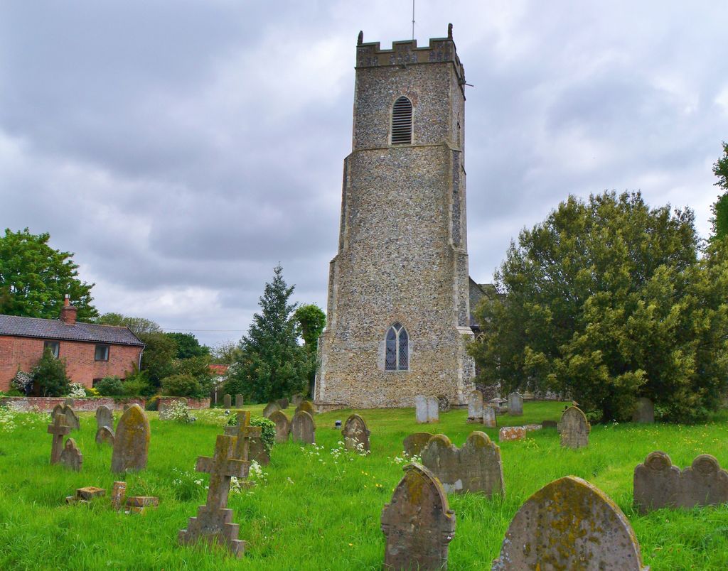
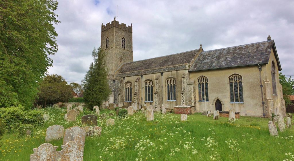
| Location | : | Metfield, Mid Suffolk District, England |
| Coordinate | : | 52.3728810, 1.3689930 |
frequently asked questions (FAQ):
-
Where is Saint John the Baptist Churchyard?
Saint John the Baptist Churchyard is located at Metfield, Mid Suffolk District ,Suffolk ,England.
-
Saint John the Baptist Churchyard cemetery's updated grave count on graveviews.com?
3 memorials
-
Where are the coordinates of the Saint John the Baptist Churchyard?
Latitude: 52.3728810
Longitude: 1.3689930
Nearby Cemetories:
1. Metfield Cemetery
Metfield, Mid Suffolk District, England
Coordinate: 52.3678410, 1.3635810
2. Saint Mary Magdalene Churchyard
Metfield, Mid Suffolk District, England
Coordinate: 52.3773540, 1.3538467
3. St. James' Churchyard
South Elmham St James, Waveney District, England
Coordinate: 52.3796890, 1.4113370
4. All Saints Churchyard
Mendham, Mid Suffolk District, England
Coordinate: 52.3976310, 1.3349670
5. St George's Churchyard
South Elmham St Cross, Waveney District, England
Coordinate: 52.4080410, 1.3794272
6. St. Margaret's Churchyard
South Elmham St Margaret, Waveney District, England
Coordinate: 52.4047900, 1.4007730
7. Baptist Churchyard
Fressingfield, Mid Suffolk District, England
Coordinate: 52.3481570, 1.3216200
8. All Saints Churchyard
South Elmham St Nicholas, Waveney District, England
Coordinate: 52.3936690, 1.4226680
9. St. Peter and St. Paul Churchyard
Fressingfield, Mid Suffolk District, England
Coordinate: 52.3487940, 1.3190390
10. Fressingfield Methodist Churchyard
Fressingfield, Mid Suffolk District, England
Coordinate: 52.3472430, 1.3133970
11. St. Margaret's Churchyard of Antioch
Linstead Parva, Suffolk Coastal District, England
Coordinate: 52.3477630, 1.4302960
12. Church of the Assumption of the Blessed Virgin Mar
Redenhall, South Norfolk District, England
Coordinate: 52.4104780, 1.3272680
13. Saint Mary Churchyard
Homersfield, Waveney District, England
Coordinate: 52.4191670, 1.3595410
14. Fressingfield Cemetery
Fressingfield, Mid Suffolk District, England
Coordinate: 52.3392240, 1.3135440
15. St. Michael and St. Felix's Churchyard
Rumburgh, Waveney District, England
Coordinate: 52.3845310, 1.4459590
16. Saint Mary's Churchyard
Cratfield, Suffolk Coastal District, England
Coordinate: 52.3227330, 1.3940450
17. St. Michael's Churchyard
South Elmham St Michael, Waveney District, England
Coordinate: 52.4033450, 1.4406520
18. St. Peter's Churchyard
Waveney District, England
Coordinate: 52.4114350, 1.4333280
19. St Peter Churchyard
Needham, South Norfolk District, England
Coordinate: 52.3896320, 1.2773700
20. St. Mary Churchyard
Flixton (West), Waveney District, England
Coordinate: 52.4292500, 1.3995130
21. Flixton Abbey
Flixton (West), Waveney District, England
Coordinate: 52.4292800, 1.3996050
22. St. Mary Churchyard
Chediston, Suffolk Coastal District, England
Coordinate: 52.3475100, 1.4613130
23. St. Mary's Churchyard
Denton, South Norfolk District, England
Coordinate: 52.4364500, 1.3618770
24. St Andrews Churchyard
Wissett, Waveney District, England
Coordinate: 52.3606730, 1.4735980