
| Memorials | : | 2 |
| Location | : | Spring Green, Sauk County, USA |
| Coordinate | : | 43.1753000, -90.0777700 |
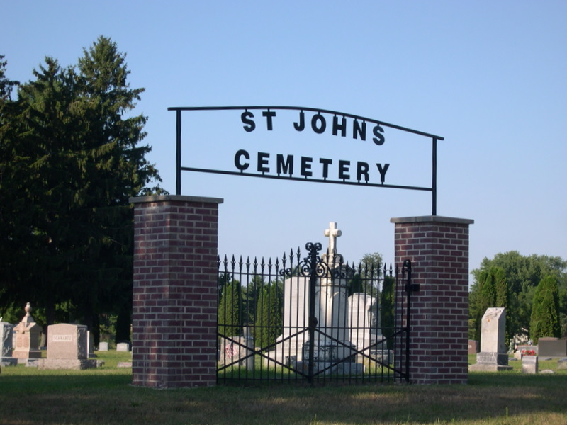
| Description | : | The cemetery is located on the west side of Spring Green, on West Madison Street, south of the railroad tracks, between Shifflet Road and Wood Street. |
frequently asked questions (FAQ):
-
Where is Saint John the Evangelist Catholic Cemetery?
Saint John the Evangelist Catholic Cemetery is located at West Madison Street Spring Green, Sauk County ,Wisconsin ,USA.
-
Saint John the Evangelist Catholic Cemetery cemetery's updated grave count on graveviews.com?
2 memorials
-
Where are the coordinates of the Saint John the Evangelist Catholic Cemetery?
Latitude: 43.1753000
Longitude: -90.0777700

Nearby Cemetories:
1. Robert Davis Gravesite
Spring Green, Sauk County, USA
Coordinate: 43.1830119, -90.0938649
2. Spring Green Cemetery
Spring Green, Sauk County, USA
Coordinate: 43.1906000, -90.0678000
3. Old Helena Cemetery
Helena, Iowa County, USA
Coordinate: 43.1467018, -90.0457993
4. Unity Chapel Cemetery
Wyoming, Iowa County, USA
Coordinate: 43.1326850, -90.0610900
5. Big Hollow Cemetery
Spring Green, Sauk County, USA
Coordinate: 43.2358017, -90.1130981
6. Wyoming Cemetery
Wyoming, Iowa County, USA
Coordinate: 43.1074982, -90.1106033
7. Davis Cemetery
Coon Rock, Iowa County, USA
Coordinate: 43.1543999, -89.9608002
8. Hewitt Lane Farm Cemetery
Wyoming, Iowa County, USA
Coordinate: 43.0989900, -90.1471000
9. Old Saint Lukes Catholic Cemetery
Plain, Sauk County, USA
Coordinate: 43.2684600, -90.0541500
10. Jennings Cemetery
Buena Vista, Richland County, USA
Coordinate: 43.1914900, -90.2064700
11. Lone Rock Cemetery
Lone Rock, Richland County, USA
Coordinate: 43.1909000, -90.2081000
12. New Saint Lukes Catholic Cemetery
Plain, Sauk County, USA
Coordinate: 43.2774000, -90.0530400
13. Pleasant Hill Cemetery
Plain, Sauk County, USA
Coordinate: 43.2788887, -90.0555573
14. Bigelow Cemetery
Clyde, Iowa County, USA
Coordinate: 43.1410200, -90.2197700
15. Norton-Gile Cemetery
Clyde, Iowa County, USA
Coordinate: 43.1372800, -90.2203600
16. North Otter Creek Cemetery
Clyde, Iowa County, USA
Coordinate: 43.1516991, -90.2272034
17. Union Grove Cemetery
Troy, Sauk County, USA
Coordinate: 43.2564011, -89.9452972
18. Button Cemetery
Buena Vista, Richland County, USA
Coordinate: 43.2182999, -90.2455978
19. Ryalls Cemetery
Clyde, Iowa County, USA
Coordinate: 43.0622000, -90.1676400
20. Arena Cemetery
Arena, Iowa County, USA
Coordinate: 43.1624000, -89.8977000
21. Hyde Chapel Cemetery
Ridgeway, Iowa County, USA
Coordinate: 43.0713800, -89.9656100
22. Saints Peter and Paul Catholic Cemetery
Pleasant Ridge, Iowa County, USA
Coordinate: 43.0406000, -90.0500500
23. Ruggles Cemetery
Ridgeway, Iowa County, USA
Coordinate: 43.0494003, -90.0046997
24. Valley View Cemetery
Dodgeville, Iowa County, USA
Coordinate: 43.0372009, -90.0955963