
| Memorials | : | 36 |
| Location | : | Sunfish, Edmonson County, USA |
| Phone | : | 270-597-9957 |
| Coordinate | : | 37.2745400, -86.3689700 |
| Description | : | The unincorporated Sunfish community is named for Sunfish Creek, a secondary tributary of the Green River which joins Bear Creek to drain the watershed of West-Central Edmonson County. “Sunfish Station” was established in the late 1790's to early 1800's, prior to the 1825 formation of Edmonson County. Sunfish is located northwest corner of Edmonson County near the Grayson County line, in the section of Edmonson which was originally part of Grayson County. Many of the pioneer settlers of Kentucky were Revolutionary War and War of 1812 veterans. Most of the pioneer settlers of Sunfish,... Read More |
frequently asked questions (FAQ):
-
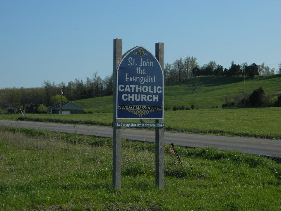
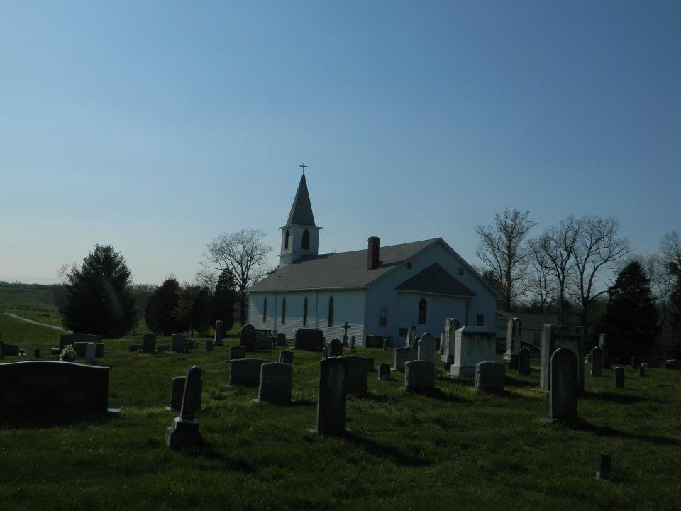
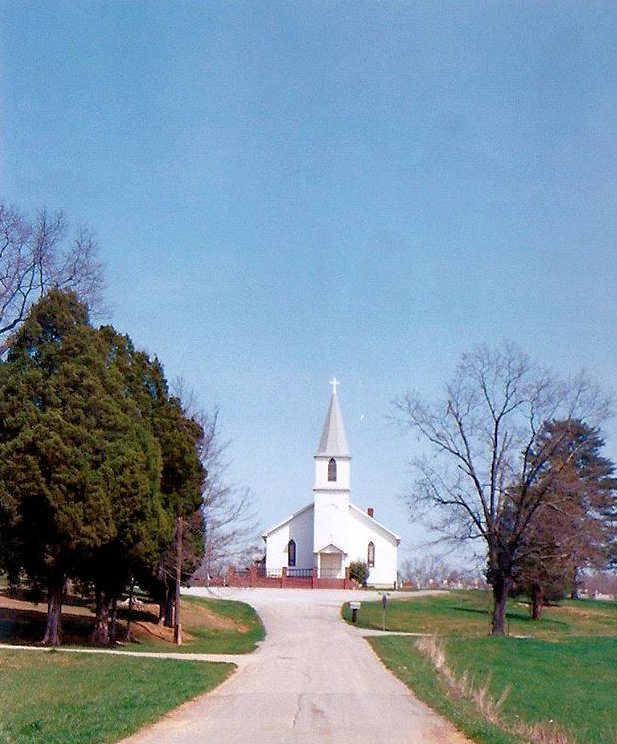
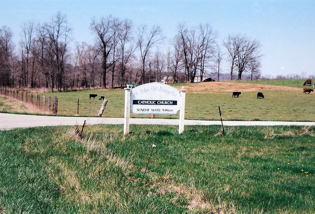
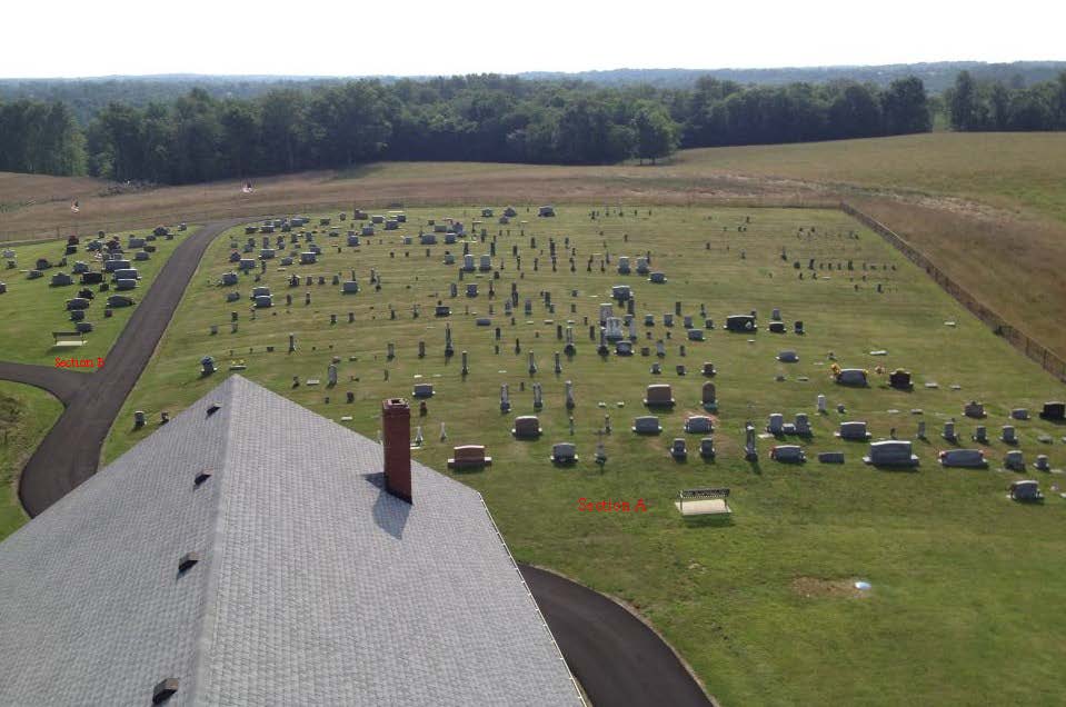
Where is Saint John the Evangelist Catholic Church Cemetery?
Saint John the Evangelist Catholic Church Cemetery is located at 430 Saint Johns Church Rd Sunfish, Edmonson County ,Kentucky , 42210USA.
-
Saint John the Evangelist Catholic Church Cemetery cemetery's updated grave count on graveviews.com?
35 memorials
-
Where are the coordinates of the Saint John the Evangelist Catholic Church Cemetery?
Latitude: 37.2745400
Longitude: -86.3689700
Nearby Cemetories:
1. South Cemetery
Edmonson County, USA
Coordinate: 37.2656500, -86.3545500
2. Duvall Cemetery
Sunfish, Edmonson County, USA
Coordinate: 37.2817200, -86.3418900
3. Hardin Cemetery
Huff, Edmonson County, USA
Coordinate: 37.2424159, -86.3559803
4. Cub Creek Cemetery
Huff, Edmonson County, USA
Coordinate: 37.2439003, -86.3880997
5. Saling-Vincent Family Cemetery
Edmonson County, USA
Coordinate: 37.2979760, -86.3240470
6. Vincent Cemetery #2
Bee Spring, Edmonson County, USA
Coordinate: 37.2848800, -86.3118600
7. Sunny Point Cemetery
Huff, Edmonson County, USA
Coordinate: 37.3193050, -86.3890120
8. Old Big Reedy Cemetery
Big Reedy, Edmonson County, USA
Coordinate: 37.2677010, -86.4324690
9. New Home Church Cemetery
Windyville, Edmonson County, USA
Coordinate: 37.2302818, -86.3366776
10. South Union Cemetery
Edmonson County, USA
Coordinate: 37.3254089, -86.3613205
11. Big Reedy Church of Christ Cemetery
Roundhill, Edmonson County, USA
Coordinate: 37.2672650, -86.4350220
12. Brite Meredith Family Cemetery
Bee Spring, Edmonson County, USA
Coordinate: 37.3011200, -86.3076200
13. Slate Bank Cemetery
Edmonson County, USA
Coordinate: 37.3020167, -86.4309333
14. Key Cemetery
Prosperity, Edmonson County, USA
Coordinate: 37.3060500, -86.3086000
15. Bethel Cemetery
Grayson County, USA
Coordinate: 37.3353004, -86.3767014
16. Gibson Family Cemetery
Bee Spring, Edmonson County, USA
Coordinate: 37.2987990, -86.2982460
17. Salem Church Cemetery
Bee Spring, Edmonson County, USA
Coordinate: 37.3178902, -86.3080597
18. Hunts Farm Cemetery
Roundhill, Edmonson County, USA
Coordinate: 37.2293400, -86.4277500
19. Holly Springs Cemetery
Edmonson County, USA
Coordinate: 37.2275009, -86.3122025
20. Mount Pleasant Cemetery
Big Reedy, Edmonson County, USA
Coordinate: 37.2977905, -86.4457016
21. Christian Home Cemetery
Bee Spring, Edmonson County, USA
Coordinate: 37.2851520, -86.2879210
22. Harvest Time Apostolic Church Cemetery
Bee Spring, Edmonson County, USA
Coordinate: 37.2988570, -86.2880810
23. Midway United Missionary Baptist Church Cemetery
Lindseyville, Edmonson County, USA
Coordinate: 37.2350311, -86.2944717
24. Johnson Family Cemetery
Edmonson County, USA
Coordinate: 37.2539400, -86.2808300