
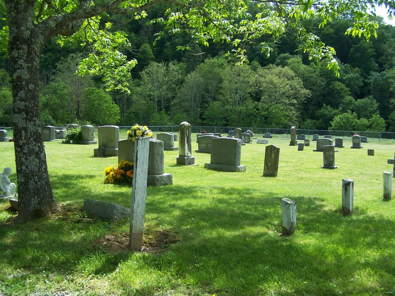
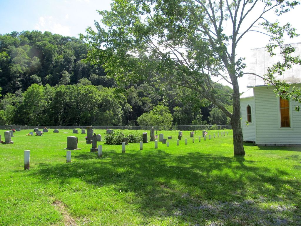
| Memorials | : | 7 |
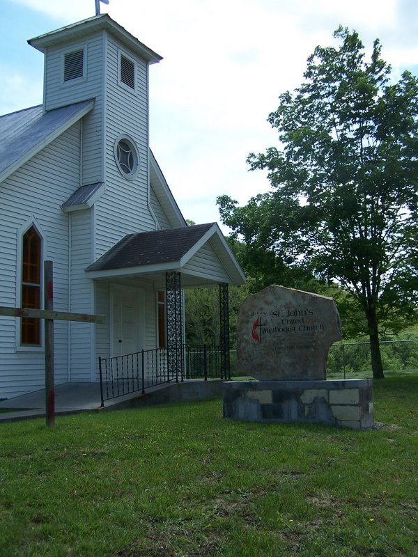
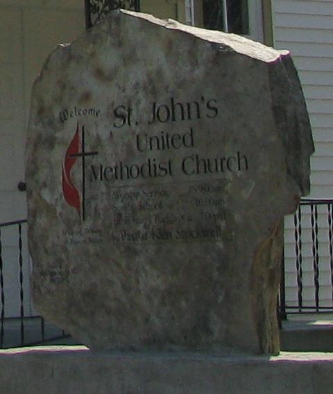
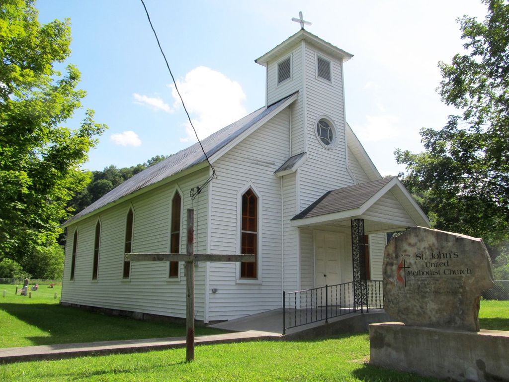
| Location | : | Salt Sulphur Springs, Monroe County, USA |
| Coordinate | : | 37.5452576, -80.5773315 |
frequently asked questions (FAQ):
-
Where is Saint John United Methodist Church Cemetery?
Saint John United Methodist Church Cemetery is located at Salt Sulphur Springs, Monroe County ,West Virginia ,USA.
-
Saint John United Methodist Church Cemetery cemetery's updated grave count on graveviews.com?
7 memorials
-
Where are the coordinates of the Saint John United Methodist Church Cemetery?
Latitude: 37.5452576
Longitude: -80.5773315
Nearby Cemetories:
1. Ballard Cemetery
Lillydale, Monroe County, USA
Coordinate: 37.5409000, -80.5977000
2. Ballard Cemetery
Union, Monroe County, USA
Coordinate: 37.5405998, -80.5980988
3. Salt Sulphur Springs Cemetery
Monroe County, USA
Coordinate: 37.5732918, -80.5704269
4. Dropping Lick Cemetery
Union, Monroe County, USA
Coordinate: 37.5161018, -80.5639038
5. Mount Hedding Methodist Church Cemetery
Lillydale, Monroe County, USA
Coordinate: 37.5579660, -80.6149940
6. Ellison Cemetery
Rock Camp, Monroe County, USA
Coordinate: 37.5050550, -80.5830780
7. Wickline Cemetery
Zenith, Monroe County, USA
Coordinate: 37.5000750, -80.5469361
8. Ballard-Harvey Cemetery
Rock Camp, Monroe County, USA
Coordinate: 37.4928017, -80.6053009
9. Green Hill Cemetery
Union, Monroe County, USA
Coordinate: 37.5932999, -80.5363998
10. Mount Herman Baptist Church Cemetery
Sarton, Monroe County, USA
Coordinate: 37.5795479, -80.6391296
11. Mount Alexander United Methodist Church Cemetery
Sarton, Monroe County, USA
Coordinate: 37.5783920, -80.6419678
12. Elmwood Cemetery
Union, Monroe County, USA
Coordinate: 37.5970450, -80.5348650
13. Miller Cemetery
Monroe County, USA
Coordinate: 37.5120388, -80.6454836
14. Tyler Mann Cemetery
Greenville, Monroe County, USA
Coordinate: 37.5249395, -80.6535831
15. John Comer Cemetery
Wikel, Monroe County, USA
Coordinate: 37.5060680, -80.6429010
16. McCarty-Broyles Cemetery
Knobs, Monroe County, USA
Coordinate: 37.6024246, -80.6166763
17. Comer-Mitchell Cemetery
Wikel, Monroe County, USA
Coordinate: 37.5060410, -80.6429100
18. Mount Pleasant Baptist Cemetery
Knobs, Monroe County, USA
Coordinate: 37.6108665, -80.5881500
19. Mountain View Cemetery
Wikel, Monroe County, USA
Coordinate: 37.4989014, -80.6374969
20. Brown Cemetery
Knobs, Monroe County, USA
Coordinate: 37.6095400, -80.6089000
21. Leach-Irons Cemetery
Knobs, Monroe County, USA
Coordinate: 37.6134840, -80.5978060
22. Ratliff Cemetery
Knobs, Monroe County, USA
Coordinate: 37.6134840, -80.5978060
23. Reynolds Cemetery
Knobs, Monroe County, USA
Coordinate: 37.6124600, -80.6056800
24. Boggess Cemetery
Zenith, Monroe County, USA
Coordinate: 37.5000000, -80.5079200