
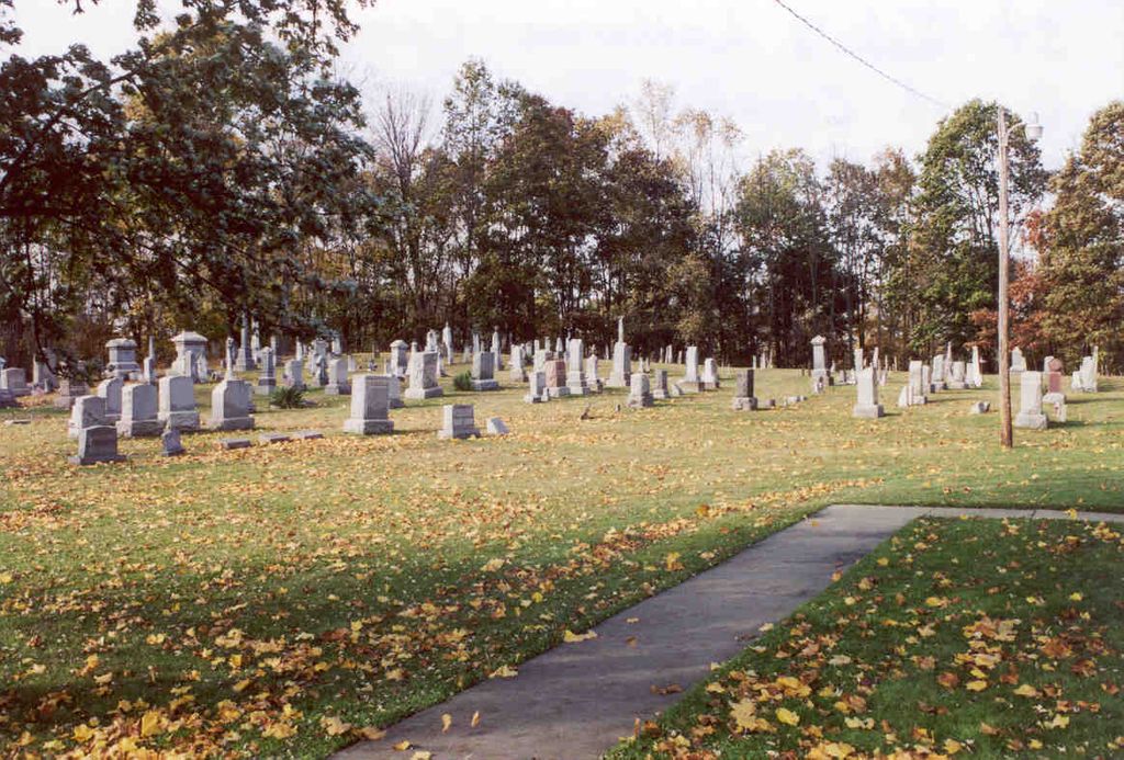
| Memorials | : | 62 |
| Location | : | Stovertown, Muskingum County, USA |
| Coordinate | : | 39.8330000, -81.9880000 |
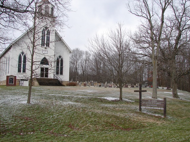
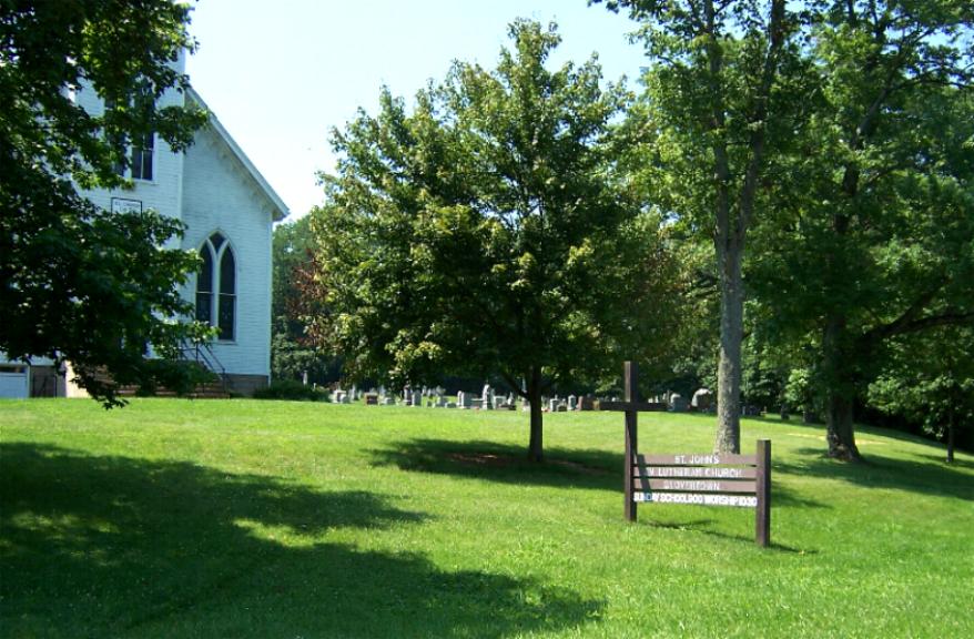
| Description | : | The cemetery is located on the west side of Center Road (Ohio State Route 555) about 0.1 miles north of its intersection with Wentworth Drive. The cemetery is located in Brush Creek Township, Muskingum County, Ohio, and is # 8761 (Saint Johns English Lutheran Cemetery / Stovertown Lutheran Cemetery) in “Ohio Cemeteries 1803-2003”, compiled by the Ohio Genealogical Society. The cemetery is registered with the Ohio Division of Real Estate and Professional Licensing (ODRE) as St. John’s Evangelical Lutheran Church Cemetery Stovertown with registration license number CBR. 2015000899. The U.S. Geological Survey (USGS) Geographic Names Information System (GNIS)... Read More |
frequently asked questions (FAQ):
-
Where is Saint Johns Lutheran Church Cemetery?
Saint Johns Lutheran Church Cemetery is located at Center Road (Ohio State Route 555) Stovertown, Muskingum County ,Ohio , 43771USA.
-
Saint Johns Lutheran Church Cemetery cemetery's updated grave count on graveviews.com?
62 memorials
-
Where are the coordinates of the Saint Johns Lutheran Church Cemetery?
Latitude: 39.8330000
Longitude: -81.9880000
Nearby Cemetories:
1. Irish Ridge Cemetery
Philo, Muskingum County, USA
Coordinate: 39.8382988, -81.9636002
2. Swingle Family Cemetery
Muskingum County, USA
Coordinate: 39.8120100, -81.9868000
3. Virginia Ridge Cemetery
Brush Creek Township, Muskingum County, USA
Coordinate: 39.8149986, -81.9633026
4. Boyd Old United Brethren Church Cemetery
Brush Creek, Muskingum County, USA
Coordinate: 39.8529300, -82.0101000
5. Adamson Cemetery
Muskingum County, USA
Coordinate: 39.8453000, -82.0220000
6. Bethel Cemetery
Stovertown, Muskingum County, USA
Coordinate: 39.8553500, -82.0231900
7. Brush Creek Cemetery
Muskingum County, USA
Coordinate: 39.8694000, -81.9858017
8. Danhauer Cemetery
Philo, Muskingum County, USA
Coordinate: 39.8549300, -81.9422000
9. Barringer Cemetery
Blue Rock, Muskingum County, USA
Coordinate: 39.7933000, -81.9614000
10. Antioch Cemetery
Muskingum County, USA
Coordinate: 39.7896996, -81.9638977
11. Fattler Cemetery
Philo, Muskingum County, USA
Coordinate: 39.8567500, -81.9303000
12. Fairview-Weaver Cemetery
Brush Creek, Muskingum County, USA
Coordinate: 39.7821999, -81.9819031
13. Ziegler Cemetery
Avondale, Muskingum County, USA
Coordinate: 39.8594550, -82.0467370
14. Andrew Ziegler Cemetery
Roseville, Muskingum County, USA
Coordinate: 39.8596000, -82.0466700
15. Dozer Cemetery
Muskingum County, USA
Coordinate: 39.7855988, -81.9507980
16. Henle Cemetery
Philo, Muskingum County, USA
Coordinate: 39.8129330, -81.9173330
17. Goshen Methodist Cemetery
Roseville, Muskingum County, USA
Coordinate: 39.8456880, -82.0647450
18. Rose Hill Cemetery
Roseville, Muskingum County, USA
Coordinate: 39.8356018, -82.0686035
19. Philo Cemetery
Philo, Muskingum County, USA
Coordinate: 39.8589600, -81.9131900
20. Blue Rock Cemetery
Gaysport, Muskingum County, USA
Coordinate: 39.7886150, -81.9294020
21. Rees Cemetery
Roseville, Muskingum County, USA
Coordinate: 39.8292000, -82.0711000
22. Saint Anns Cemetery
Philo, Muskingum County, USA
Coordinate: 39.8555680, -81.9093290
23. Stokely Cemetery
Muskingum County, USA
Coordinate: 39.8216800, -82.0713000
24. Rider Cemetery
Roseville, Muskingum County, USA
Coordinate: 39.7942000, -82.0645000