
| Memorials | : | 0 |
| Location | : | Fork Township, Marshall County, USA |
| Coordinate | : | 48.4277630, -97.1292360 |
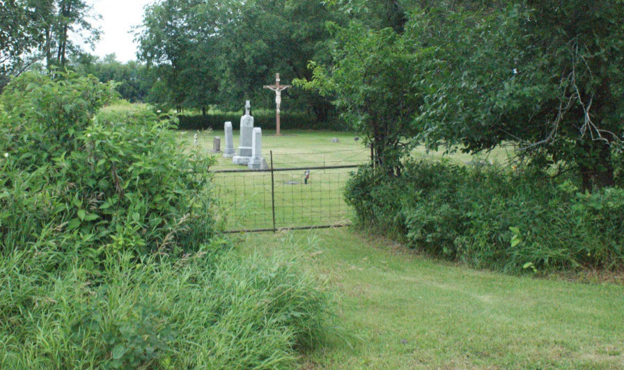
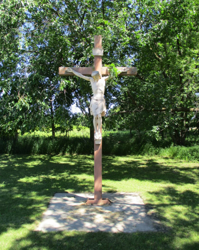
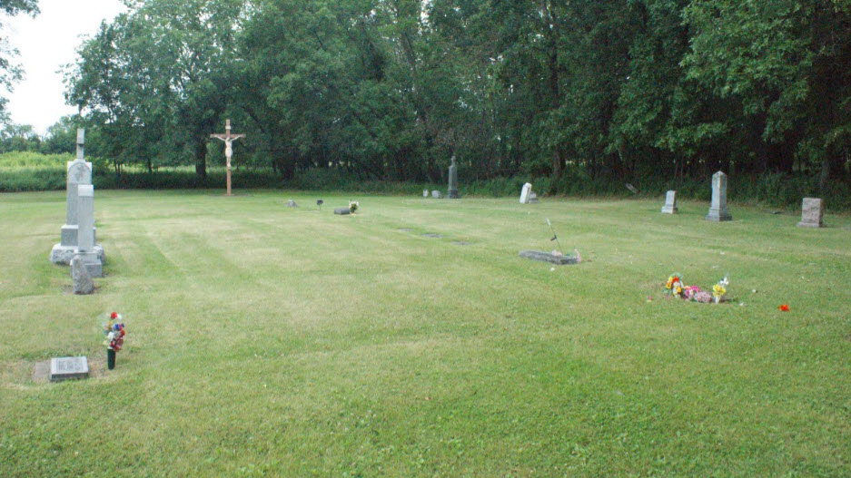
| Description | : | The cemetery GIS taxpayer name is Fork Township St Joseph Mission, address: Stephen, MN, and the cemetery is maintained by the St Stephen Catholic parish in Stephen, MN. The church which once was just to the east of the cemetery was washed away in the flood of 1947. In Fork Township Latitude, Longitude: 48.427763N, -97.129236W From the intersection of MN 220 and MN 317 go 1/2 mile west, then north 9/10 mile on 495 Ave NW, a narrow gravel road, to where it curves to the west, then 1/2 mile west to the end of 380th Street NW. |
frequently asked questions (FAQ):
-
Where is Saint Joseph Mission Cemetery?
Saint Joseph Mission Cemetery is located at at end of 380th St NW Fork Township, Marshall County ,Minnesota ,USA.
-
Saint Joseph Mission Cemetery cemetery's updated grave count on graveviews.com?
0 memorials
-
Where are the coordinates of the Saint Joseph Mission Cemetery?
Latitude: 48.4277630
Longitude: -97.1292360
Nearby Cemetories:
1. Boe Cemetery
Stephen, Marshall County, USA
Coordinate: 48.3850040, -97.1230470
2. Zion Cemetery
Walsh County, USA
Coordinate: 48.4411011, -97.2108002
3. Ebenezer Evangelical Cemetery
Warsaw, Walsh County, USA
Coordinate: 48.3832626, -97.2561188
4. Eagle Point Cemetery
Marshall County, USA
Coordinate: 48.5296410, -97.1077490
5. Malm Cemetery
Argyle, Marshall County, USA
Coordinate: 48.3405991, -97.0436020
6. Sacred Heart Cemetery
Oakwood, Walsh County, USA
Coordinate: 48.4269714, -97.2944717
7. Mission Congregational Cemetery
Big Woods, Marshall County, USA
Coordinate: 48.2913200, -97.1090300
8. Drayton Cemetery
Drayton, Pembina County, USA
Coordinate: 48.5722008, -97.1889038
9. Saint Edward Cemetery
Drayton, Pembina County, USA
Coordinate: 48.5727768, -97.1886063
10. Saint Stanislaus Cemetery
Warsaw, Walsh County, USA
Coordinate: 48.2943993, -97.2541275
11. Teien Covenant Cemetery
Robbin, Kittson County, USA
Coordinate: 48.5843510, -97.1047980
12. Skjeberg Cemetery
Robbin, Kittson County, USA
Coordinate: 48.5911530, -97.1064280
13. Stephen Cemetery
Stephen, Marshall County, USA
Coordinate: 48.4558400, -96.8760500
14. Saint Johns Cemetery
Grafton, Walsh County, USA
Coordinate: 48.4164009, -97.3886032
15. South Big Woods Cemetery
Oslo, Marshall County, USA
Coordinate: 48.2530700, -97.0757100
16. Big Woods Cemetery
Oslo, Marshall County, USA
Coordinate: 48.2528000, -97.0746994
17. Grafton State Cemetery
Grafton, Walsh County, USA
Coordinate: 48.4129791, -97.3996964
18. Grafton City Cemetery
Grafton, Walsh County, USA
Coordinate: 48.4129105, -97.4019089
19. Crescent Cemetery
Grafton, Walsh County, USA
Coordinate: 48.4141350, -97.4021683
20. Saint Stephen Cemetery
Stephen, Marshall County, USA
Coordinate: 48.4557991, -96.8553009
21. Grafton Lutheran Cemetery
Grafton, Walsh County, USA
Coordinate: 48.4178467, -97.4206238
22. Saint Patricks Cemetery
Minto, Walsh County, USA
Coordinate: 48.2966995, -97.3630981
23. Oak Park Church Cemetery
Oslo, Marshall County, USA
Coordinate: 48.2238000, -97.1187300
24. Vega Cemetery
Alvarado, Marshall County, USA
Coordinate: 48.2378006, -96.9985962