
| Memorials | : | 214 |
| Location | : | Barnum, Webster County, USA |
| Coordinate | : | 42.5172000, -94.3769000 |
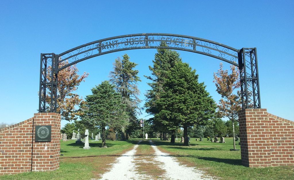
| Description | : | Formerly known as Saint Johns Cemetery |
frequently asked questions (FAQ):
-
Where is Saint Josephs Cemetery?
Saint Josephs Cemetery is located at 190th Street (Iowa 7) Barnum, Webster County ,Iowa , 50518USA.
-
Saint Josephs Cemetery cemetery's updated grave count on graveviews.com?
214 memorials
-
Where are the coordinates of the Saint Josephs Cemetery?
Latitude: 42.5172000
Longitude: -94.3769000
Nearby Cemetories:
1. Calvary Presbyterian Cemetery
Barnum, Webster County, USA
Coordinate: 42.4742810, -94.3835020
2. Old Lizard Cemetery
Webster County, USA
Coordinate: 42.5249720, -94.3141340
3. Saint James Cemetery
Clare, Webster County, USA
Coordinate: 42.5691986, -94.3644028
4. Jackson Center Cemetery
Clare, Webster County, USA
Coordinate: 42.5783005, -94.3741989
5. Trinity Cemetery
Calhoun County, USA
Coordinate: 42.4747200, -94.4555588
6. Burns Cemetery
Webster County, USA
Coordinate: 42.5249970, -94.2759880
7. Greenfield Cemetery
Knierim, Calhoun County, USA
Coordinate: 42.4495000, -94.4565000
8. Saint Patricks Cemetery
Clare, Webster County, USA
Coordinate: 42.5943985, -94.4419022
9. Fulton Lutheran Cemetery
Roelyn, Webster County, USA
Coordinate: 42.4263992, -94.3688965
10. Our Lady of Good Counsel Cemetery
Moorland, Webster County, USA
Coordinate: 42.4427986, -94.3043976
11. Fulton Township Cemetery
Moorland, Webster County, USA
Coordinate: 42.4272000, -94.3159000
12. Willowledge Cemetery
Fort Dodge, Webster County, USA
Coordinate: 42.5250015, -94.2388916
13. Lizard Cemetery
Palmer, Pocahontas County, USA
Coordinate: 42.5875015, -94.4796982
14. Hope Cemetery
Manson, Calhoun County, USA
Coordinate: 42.4994011, -94.5199966
15. Rose Hill Cemetery
Manson, Calhoun County, USA
Coordinate: 42.5228004, -94.5243988
16. Trinity Lutheran Cemetery
Webster County, USA
Coordinate: 42.5875015, -94.2581024
17. Saint Thomas Cemetery
Manson, Calhoun County, USA
Coordinate: 42.5208500, -94.5365000
18. Carpenter Cemetery
Webster County, USA
Coordinate: 42.5015907, -94.2166061
19. Saint Olafs Cemetery
Fort Dodge, Webster County, USA
Coordinate: 42.5017014, -94.2153015
20. Saint Paul Lutheran Cemetery
Pocahontas County, USA
Coordinate: 42.5610000, -94.5392000
21. Webster County Home Cemetery
Fort Dodge, Webster County, USA
Coordinate: 42.4563710, -94.2181420
22. Mizpah Cemetery
Webster County, USA
Coordinate: 42.3835983, -94.3707962
23. Elkhorn Cemetery
Webster County, USA
Coordinate: 42.4277992, -94.2328033
24. Elkhorn Township Cemetery
Fort Dodge, Webster County, USA
Coordinate: 42.4276120, -94.2329690