
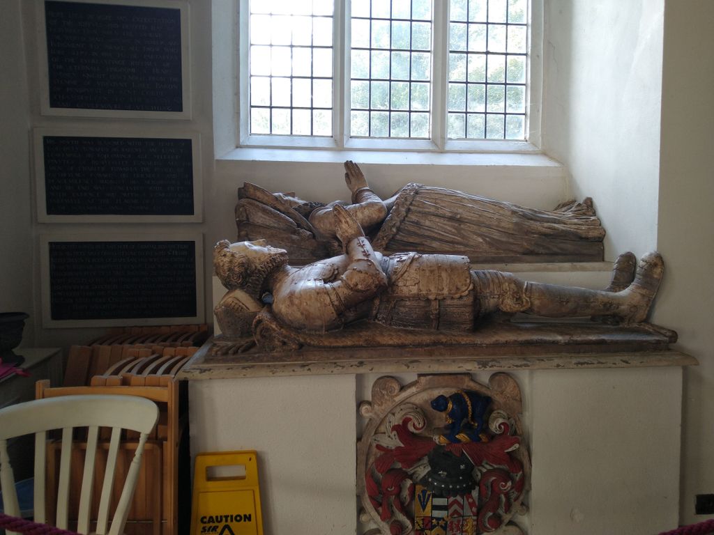
| Memorials | : | 7 |
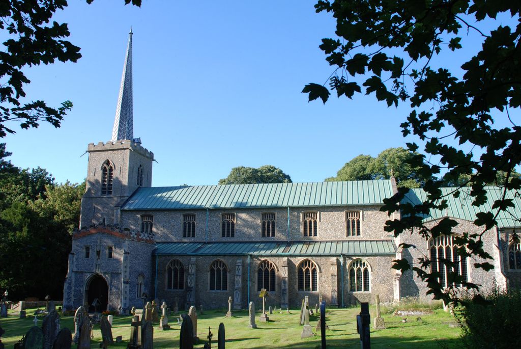
| Location | : | Little Walsingham, North Norfolk District, England |
| Coordinate | : | 52.8910800, 0.8748300 |
| Description | : | On the night of 14th/5th July 1961 this beautiful medieval church was gutted by fire. All that remained was the tower, the south porch and most of the external walls. The church was rebuilt and reconsecrated on 8th August 1964. |
frequently asked questions (FAQ):
-
Where is Saint Mary & All Saints Churchyard?
Saint Mary & All Saints Churchyard is located at Church Street Little Walsingham, North Norfolk District ,Norfolk , NR22 6BLEngland.
-
Saint Mary & All Saints Churchyard cemetery's updated grave count on graveviews.com?
6 memorials
-
Where are the coordinates of the Saint Mary & All Saints Churchyard?
Latitude: 52.8910800
Longitude: 0.8748300
Nearby Cemetories:
1. Our Lady of Walsingham Chapel
Little Walsingham, North Norfolk District, England
Coordinate: 52.8936750, 0.8755360
2. St Peter Churchyard
Great Walsingham, North Norfolk District, England
Coordinate: 52.9009100, 0.8824300
3. St Giles Churchyard
Barsham, North Norfolk District, England
Coordinate: 52.8813000, 0.8574300
4. St Mary The Virgin Churchyard
Great Snoring, North Norfolk District, England
Coordinate: 52.8736000, 0.8914000
5. All Saints Churchyard
North Barsham, North Norfolk District, England
Coordinate: 52.8777330, 0.8451480
6. All Saints Churchyard
East Barsham, North Norfolk District, England
Coordinate: 52.8666620, 0.8459870
7. Assumption of the Blessed Virgin Mary Churchyard
Barsham, North Norfolk District, England
Coordinate: 52.8667710, 0.8283940
8. St Andrew Churchyard
Little Snoring, North Norfolk District, England
Coordinate: 52.8551400, 0.8990400
9. St. Martin's Churchyard
Hindringham, North Norfolk District, England
Coordinate: 52.8882000, 0.9477300
10. All Saints Churchyard Waterden
South Creake, Kings Lynn and West Norfolk Borough, England
Coordinate: 52.8866500, 0.7997600
11. Binham Priory
Binham, North Norfolk District, England
Coordinate: 52.9199700, 0.9452300
12. All Saints Churchyard
Kettlestone, North Norfolk District, England
Coordinate: 52.8468600, 0.9205100
13. Fakenham Creake Road Cemetery
Fakenham, North Norfolk District, England
Coordinate: 52.8403170, 0.8348050
14. Fakenham Cemetery
Fakenham, North Norfolk District, England
Coordinate: 52.8324060, 0.8500670
15. St Peter & St Paul Churchyard
Fakenham, North Norfolk District, England
Coordinate: 52.8308090, 0.8474920
16. St. Mary's Churchyard
Barney, North Norfolk District, England
Coordinate: 52.8555700, 0.9606080
17. All Saints Churchyard
Cockthorpe, North Norfolk District, England
Coordinate: 52.9407830, 0.9472385
18. St. John the Baptist Chapelyard
Fulmodeston, North Norfolk District, England
Coordinate: 52.8397799, 0.9440578
19. All Saints Churchyard
Bale, North Norfolk District, England
Coordinate: 52.8906290, 0.9871950
20. Saint Andrew's Churchyard
Field Dalling, North Norfolk District, England
Coordinate: 52.9110600, 0.9832800
21. St Mary Churchyard
Gunthorpe, North Norfolk District, England
Coordinate: 52.8767720, 0.9883020
22. St. Mary's Churchyard
South Creake, Kings Lynn and West Norfolk Borough, England
Coordinate: 52.8914540, 0.7565120
23. Christ Church Churchyard
Fulmodeston, North Norfolk District, England
Coordinate: 52.8385680, 0.9569670
24. St Mary Churchyard
North Creake, Kings Lynn and West Norfolk Borough, England
Coordinate: 52.9034150, 0.7565120