
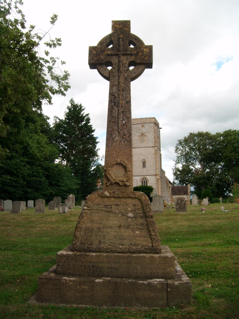
| Memorials | : | 14 |
| Location | : | Limington, South Somerset District, England |
| Coordinate | : | 50.9989000, -2.6546000 |
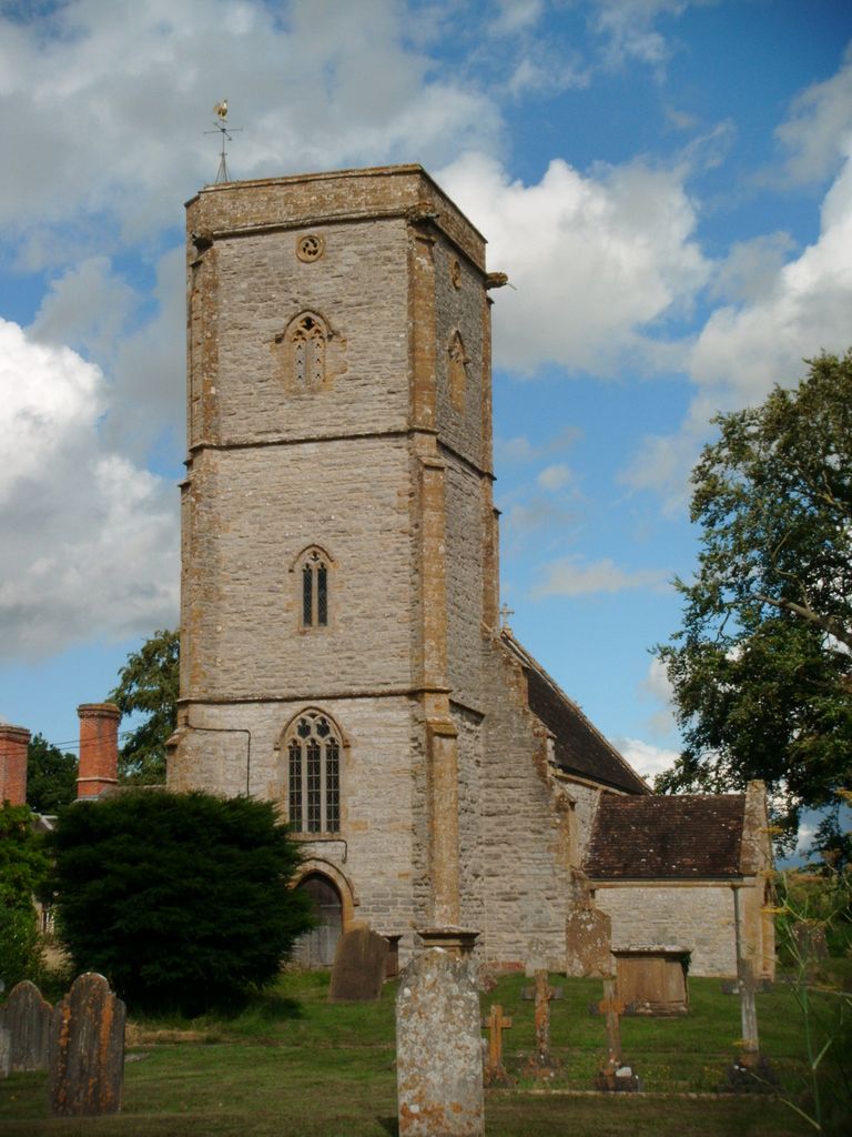
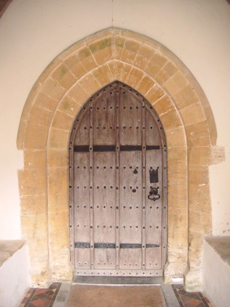
| Description | : | The Church of Saint Mary dates from the late 14th century and includes fragments of an earlier building. It has been designated as a Grade I listed building. There are several effigies including one of Sir Richard de Gyvernay who built the chantry chapel and died in 1329. Below this is a smaller female figure and there is also a double monument of a male and female figure, which are believed to be Henry and Matilda Power and date from the 1340s. |
frequently asked questions (FAQ):
-
Where is Saint Mary Churchyard?
Saint Mary Churchyard is located at Church Street Limington, South Somerset District ,Somerset , BA22 8EQEngland.
-
Saint Mary Churchyard cemetery's updated grave count on graveviews.com?
14 memorials
-
Where are the coordinates of the Saint Mary Churchyard?
Latitude: 50.9989000
Longitude: -2.6546000
Nearby Cemetories:
1. Ilchester Parish Cemetery
Ilchester, South Somerset District, England
Coordinate: 50.9993670, -2.6721280
2. St Mary Major Churchyard
Ilchester, South Somerset District, England
Coordinate: 51.0010030, -2.6818120
3. St Andrew Churchyard
Ilchester, South Somerset District, England
Coordinate: 51.0056950, -2.6804910
4. Ilchester Gallows Field Cemetery
Ilchester, South Somerset District, England
Coordinate: 50.9996250, -2.6831080
5. Ilchester County Gaol Cemetery
Ilchester, South Somerset District, England
Coordinate: 51.0023060, -2.6833610
6. St Vincent Churchyard
Ashington, South Somerset District, England
Coordinate: 50.9904090, -2.6267630
7. St. Peter’s Churchyard
Podimore, South Somerset District, England
Coordinate: 51.0219250, -2.6492310
8. St. James Parish Churchyard
Chilton Cantelo, South Somerset District, England
Coordinate: 50.9972730, -2.6136800
9. Blessed Virgin Mary Churchyard
Chilthorne Domer, South Somerset District, England
Coordinate: 50.9721100, -2.6783950
10. Blessed Virgin Mary Churchyard
Mudford, South Somerset District, England
Coordinate: 50.9773210, -2.6086310
11. Mudford Parish Cemetery
Mudford, South Somerset District, England
Coordinate: 50.9708040, -2.6114880
12. All Saints Churchyard
Kingsdon, South Somerset District, England
Coordinate: 51.0330100, -2.6918330
13. St. Mary's Churchyard
Marston Magna, South Somerset District, England
Coordinate: 50.9989970, -2.5805915
14. Saint Barnabas Churchyard
Queen Camel, South Somerset District, England
Coordinate: 51.0225850, -2.5759270
15. Church of the Virgin Mary
Charlton Mackrell, South Somerset District, England
Coordinate: 51.0524210, -2.6743894
16. Lufton Anglican Churchyard
Lufton, South Somerset District, England
Coordinate: 50.9491080, -2.6917910
17. St. James's Churchyard
Preston Plucknett, South Somerset District, England
Coordinate: 50.9437800, -2.6635960
18. St. Peter & St. Paul's Churchyard
Charlton Adam, South Somerset District, England
Coordinate: 51.0552350, -2.6647930
19. Holy Cross Churchyard
Babcary, South Somerset District, England
Coordinate: 51.0563609, -2.6268770
20. St. Mary the Virgin Churchyard
Rimpton, South Somerset District, England
Coordinate: 50.9947330, -2.5564860
21. St. Catherine's Churchyard
Montacute, South Somerset District, England
Coordinate: 50.9495420, -2.7178200
22. Holy Trinity Churchyard
Ash, South Somerset District, England
Coordinate: 50.9834250, -2.7528400
23. Montacute Priory
Montacute, South Somerset District, England
Coordinate: 50.9489820, -2.7183880
24. Ash Parish Cemetery
Ash, South Somerset District, England
Coordinate: 50.9833540, -2.7538380