
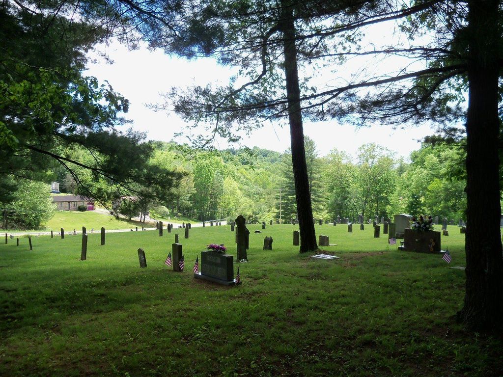
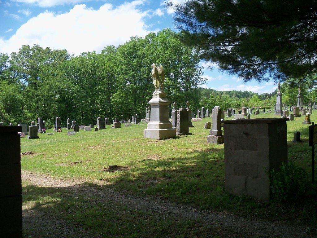
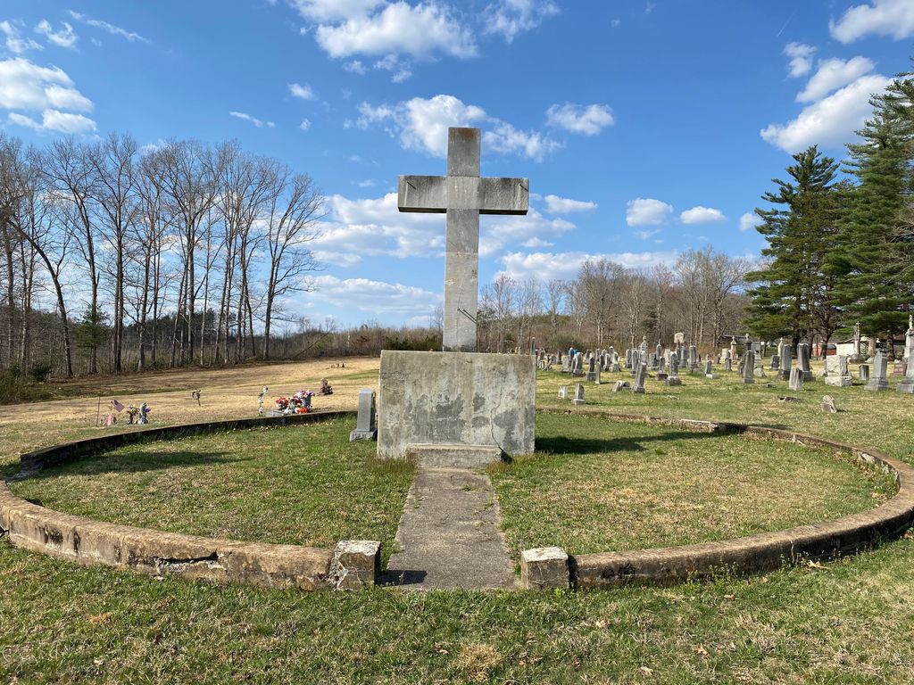
| Memorials | : | 810 |
| Location | : | Pine Grove, Lawrence County, USA |
| Coordinate | : | 38.6116670, -82.6856580 |
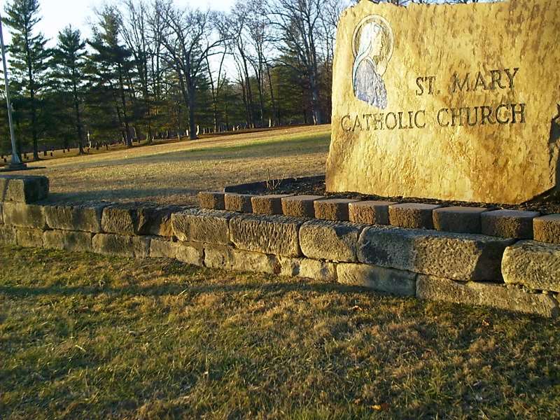
| Description | : | The cemetery is located on the north side of Pine Grove – Smokey Row Road to the west of Saint Marys Catholic Church. The cemetery is located in Elizabeth Township, Lawrence County, Ohio, and is # 6411 (Saint Marys Roman Catholic Cemetery / Saint Marys of Pine Grove Cemetery) in “Ohio Cemeteries 1803-2003”, compiled by the Ohio Genealogical Society. The U.S. Geological Survey (USGS) Geographic Names Information System (GNIS) feature ID for the cemetery is 1961221 (Saint Marys Catholic Cemetery / Saint Mary’s Catholic Cemetery). |
frequently asked questions (FAQ):
-
Where is Saint Marys Catholic Cemetery?
Saint Marys Catholic Cemetery is located at 837 Pine Grove – Smokey Row Road (County Road 26) Pine Grove, Lawrence County ,Ohio , 45638USA.
-
Saint Marys Catholic Cemetery cemetery's updated grave count on graveviews.com?
810 memorials
-
Where are the coordinates of the Saint Marys Catholic Cemetery?
Latitude: 38.6116670
Longitude: -82.6856580
Nearby Cemetories:
1. Pine Grove Cemetery
Pine Grove, Lawrence County, USA
Coordinate: 38.6102500, -82.6995800
2. Dollarhide Cemetery
Elizabeth Township, Lawrence County, USA
Coordinate: 38.6245490, -82.6707670
3. Bailey Cemetery
Pedro, Lawrence County, USA
Coordinate: 38.6339690, -82.6812170
4. Etna Furnace Cemetery
Ironton, Lawrence County, USA
Coordinate: 38.6225800, -82.6557200
5. Etna Cemetery
Pedro, Lawrence County, USA
Coordinate: 38.6223100, -82.6548600
6. Elizabeth Township Unidentified Cemetery #3
Elizabeth Township, Lawrence County, USA
Coordinate: 38.6326030, -82.7133420
7. Lawrence Furnace Cemetery
Lawrence Furnace, Lawrence County, USA
Coordinate: 38.6425800, -82.6821100
8. Pigeon Hollow Cemetery
Hanging Rock, Lawrence County, USA
Coordinate: 38.5668260, -82.6968610
9. Lagrange Cemetery
Ironton, Lawrence County, USA
Coordinate: 38.5665300, -82.6719800
10. Puckett Cemetery
Pedro, Lawrence County, USA
Coordinate: 38.6582985, -82.6613998
11. Jenkins Cemetery
Hanging Rock, Lawrence County, USA
Coordinate: 38.5630490, -82.7067410
12. Hanging Rock Cemetery
Hanging Rock, Lawrence County, USA
Coordinate: 38.5642014, -82.7136002
13. Elizabeth Township Unidentified Cemetery #2
Elizabeth Township, Lawrence County, USA
Coordinate: 38.6298500, -82.7493440
14. Elizabeth Township Unidentified Cemetery #1
Elizabeth Township, Lawrence County, USA
Coordinate: 38.6347140, -82.7603750
15. Henry Cemetery
Ironton, Lawrence County, USA
Coordinate: 38.5476190, -82.6855840
16. Center Furnace-Superior Cemetery
Center Station, Lawrence County, USA
Coordinate: 38.6759100, -82.6972500
17. Sacred Heart Cemetery
Ironton, Lawrence County, USA
Coordinate: 38.5447006, -82.6631012
18. Yingling Cemetery
Hanging Rock, Lawrence County, USA
Coordinate: 38.5619360, -82.7479200
19. Hecla Cemetery
Hecla, Lawrence County, USA
Coordinate: 38.5492700, -82.6433400
20. Sugar Creek Cemetery
Ironton, Lawrence County, USA
Coordinate: 38.5467700, -82.6282000
21. Aldridge Cemetery
Aid Township, Lawrence County, USA
Coordinate: 38.6458015, -82.5931015
22. Bowen Cemetery
Pedro, Lawrence County, USA
Coordinate: 38.6683006, -82.6113968
23. Kelley Cemetery
Glendale, Lawrence County, USA
Coordinate: 38.5629830, -82.7700640
24. Mollett Cemetery
Franklin Furnace, Scioto County, USA
Coordinate: 38.6412420, -82.7847550