
| Memorials | : | 82 |
| Location | : | Walton, Hants County, Canada |
| Coordinate | : | 45.2312560, -63.9945260 |
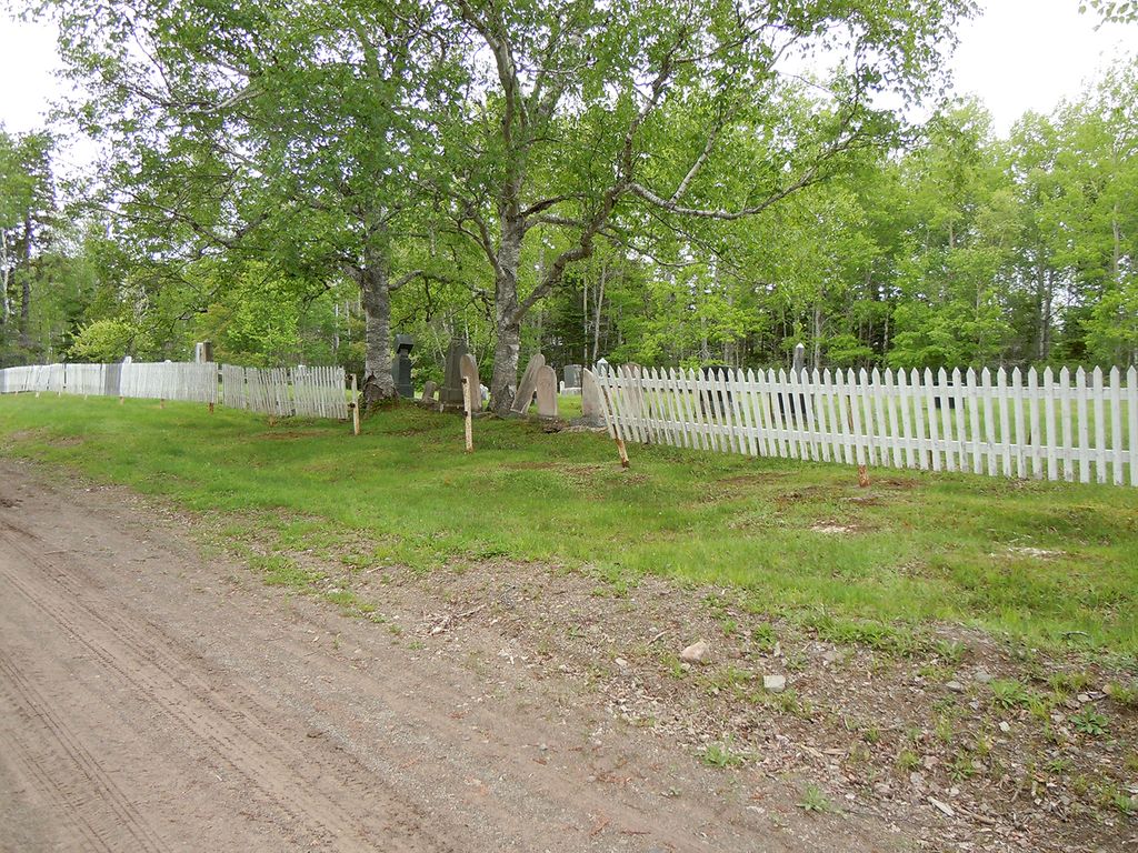
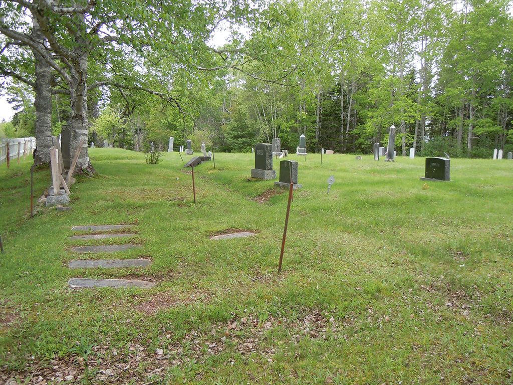
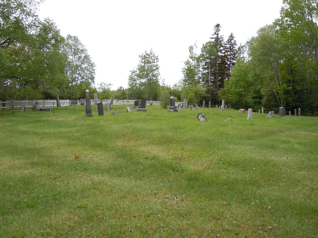
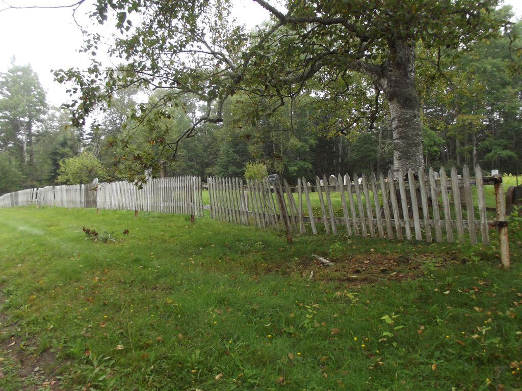
| Description | : | The church, Saint Matthew Walton (or Saint Matthew's Anglican Church), built in 1844, was deconsecrated in 2008. It was sold to Avondale Sky Winery. The building was ferried from Walton, down the Bay of Fundy to Newport Landing, then up the Avon River just off Hantsport, and then driven to Avondale in May 2011. The cemetery is located further up Highway 215, from where the church was located, towards Noel, on Back Road. |
frequently asked questions (FAQ):
-
Where is Saint Matthew's Anglican Church Cemetery?
Saint Matthew's Anglican Church Cemetery is located at Walton, Hants County ,Nova Scotia ,Canada.
-
Saint Matthew's Anglican Church Cemetery cemetery's updated grave count on graveviews.com?
82 memorials
-
Where are the coordinates of the Saint Matthew's Anglican Church Cemetery?
Latitude: 45.2312560
Longitude: -63.9945260
Nearby Cemetories:
1. Grace United Church Cemetery
Walton, Hants County, Canada
Coordinate: 45.2270300, -63.9981300
2. Parker Family Cemetery
Walton, Hants County, Canada
Coordinate: 45.2412730, -64.0009770
3. Pembroke Chapel Cemetery
Pembroke, Hants County, Canada
Coordinate: 45.2218500, -64.0624670
4. Tennycape Cemetery
Tennycape, Hants County, Canada
Coordinate: 45.2678040, -63.9176220
5. Cambridge Cemetery
Cambridge, Hants County, Canada
Coordinate: 45.2015210, -64.0996400
6. Cove Road Cemetery
Bramber, Hants County, Canada
Coordinate: 45.1895100, -64.1558600
7. Moose Brook Cemetery
Moose Brook, Hants County, Canada
Coordinate: 45.2817830, -63.8318850
8. Bramber Cemetery
Bramber, Hants County, Canada
Coordinate: 45.1728340, -64.1536350
9. Bramber Cemetery New
Bramber, Hants County, Canada
Coordinate: 45.1824870, -64.1617530
10. Lake Cemetery Lantz Road
Bramber, Hants County, Canada
Coordinate: 45.1813265, -64.1649362
11. Sandy Land Cemetery
Cogmagun River, Hants County, Canada
Coordinate: 45.1035570, -64.0459990
12. Old Cogmagun Cemetery
Cogmagun River, Hants County, Canada
Coordinate: 45.0993000, -64.0741000
13. Cheverie United Church Cemetery
Cheverie, Hants County, Canada
Coordinate: 45.1556000, -64.1734000
14. Smith Family Burying Ground
Stanley, Hants County, Canada
Coordinate: 45.0975130, -63.9066510
15. Anthony Burial Ground
Stanley, Hants County, Canada
Coordinate: 45.0923630, -63.9234070
16. Saint Stephen's Anglican Church Cemetery
Stanley, Hants County, Canada
Coordinate: 45.0901630, -63.9109210
17. Mosherville Cemetery
Mosherville, Hants County, Canada
Coordinate: 45.0831320, -63.9385000
18. Riverside Cemetery
Riverside, Hants County, Canada
Coordinate: 45.1040280, -64.1158740
19. Campbell Family Burying Ground
Stanley, Hants County, Canada
Coordinate: 45.0896340, -63.8871430
20. Burntcoat Cemetery
Burntcoat, Hants County, Canada
Coordinate: 45.3118700, -63.7930000
21. Durning Cemetery
Economy, Colchester County, Canada
Coordinate: 45.3818900, -63.8968600
22. Avon View Cemetery
Kempt Shore, Hants County, Canada
Coordinate: 45.1396190, -64.1906690
23. Hillview Cemetery
Scotch Village, Hants County, Canada
Coordinate: 45.0635800, -64.0076700
24. Greeno Family Burying Grounds
Kempt Shore, Hants County, Canada
Coordinate: 45.1360404, -64.1911763