
| Memorials | : | 0 |
| Location | : | Jelloway, Knox County, USA |
| Coordinate | : | 40.5596970, -82.2600510 |
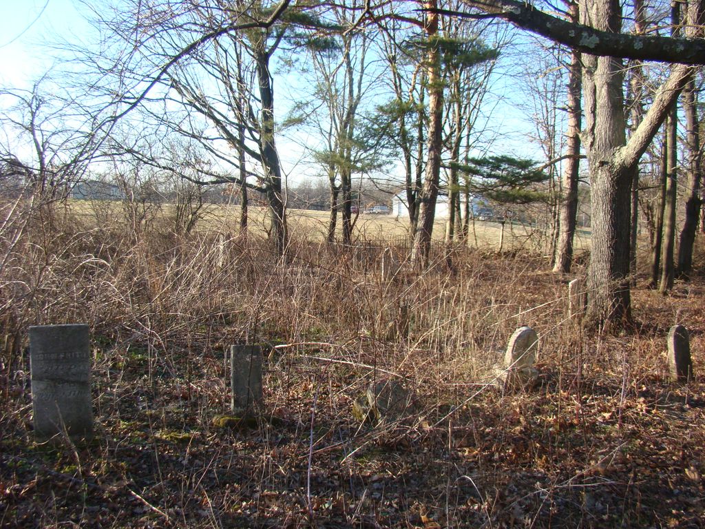
| Description | : | Located on "Henley Farm," Section 3, Township 9 (Jefferson), Range 10. Established 1851 as a Catholic cemetery, and in use until about 1875. Located on west side of Jericho Road (CR 43), north of Jefferson Road (CR 81). 3 miles northeast of Jelloway The cemetery is located in Jefferson Township, Knox County, Ohio, and is # 6209 (Henley Cemetery / Paul Cemetery / Saint Michaels Cemetery) in “Ohio Cemeteries 1803-2003”, compiled by the Ohio Genealogical Society. |
frequently asked questions (FAQ):
-
Where is Saint Michaels Catholic Cemetery?
Saint Michaels Catholic Cemetery is located at Jericho Road (County Road 43) Jelloway, Knox County ,Ohio , 44842USA.
-
Saint Michaels Catholic Cemetery cemetery's updated grave count on graveviews.com?
0 memorials
-
Where are the coordinates of the Saint Michaels Catholic Cemetery?
Latitude: 40.5596970
Longitude: -82.2600510
Nearby Cemetories:
1. Wolfe Cemetery
Ashland County, USA
Coordinate: 40.5738907, -82.2419434
2. Heyd Cemetery
Loudonville, Ashland County, USA
Coordinate: 40.5699330, -82.2339000
3. Jelloway Methodist Episcopal Cemetery
Jelloway, Knox County, USA
Coordinate: 40.5378399, -82.2982169
4. Shadley Valley Cemetery
Knox County, USA
Coordinate: 40.5253403, -82.2854390
5. Baker-Severns Cemetery
Danville, Knox County, USA
Coordinate: 40.5459440, -82.2089890
6. Sandridge Cemetery
Loudonville, Ashland County, USA
Coordinate: 40.5889282, -82.3160934
7. Severns Cemetery
Jelloway, Knox County, USA
Coordinate: 40.5467230, -82.3296410
8. Wesley Chapel Cemetery
Knox, Knox County, USA
Coordinate: 40.5022900, -82.2601600
9. Hardinger Cemetery
Knox County, USA
Coordinate: 40.5078011, -82.2260971
10. Zion Lutheran Cemetery
Jelloway, Knox County, USA
Coordinate: 40.5233955, -82.3196062
11. Greer Family Cemetery
Greer, Knox County, USA
Coordinate: 40.5117140, -82.2135900
12. Hay Cemetery
Perrysville, Ashland County, USA
Coordinate: 40.5861990, -82.3316480
13. North Bend Church of the Brethren Cemetery
Jelloway, Knox County, USA
Coordinate: 40.5047600, -82.3052700
14. Kaylor Ridge Cemetery
Nashville, Holmes County, USA
Coordinate: 40.5517006, -82.1682968
15. Loudonville Cemetery
Loudonville, Ashland County, USA
Coordinate: 40.6309013, -82.2323990
16. Cumberland Presbyterian Cemetery
Knox County, USA
Coordinate: 40.5457780, -82.3593610
17. McFall Cemetery
Perrysville, Ashland County, USA
Coordinate: 40.6322823, -82.2973932
18. Ullman Cemetery
Washington Township, Holmes County, USA
Coordinate: 40.6241989, -82.2007980
19. Pine Run Cemetery
Butler, Richland County, USA
Coordinate: 40.5797005, -82.3602982
20. Banbury Cemetery
Danville, Knox County, USA
Coordinate: 40.4774490, -82.2717850
21. Saint Joseph Mission Cemetery
Glenmont, Holmes County, USA
Coordinate: 40.5191900, -82.1649000
22. Drake Valley Cemetery
Holmes County, USA
Coordinate: 40.6125310, -82.1725540
23. Stout Cemetery
Holmes County, USA
Coordinate: 40.6122017, -82.1718979
24. Saint Peters Cemetery
Loudonville, Ashland County, USA
Coordinate: 40.6455500, -82.2295000