| Memorials | : | 16 |
| Location | : | Spring Hill, Stearns County, USA |
| Coordinate | : | 45.5249310, -94.8254870 |
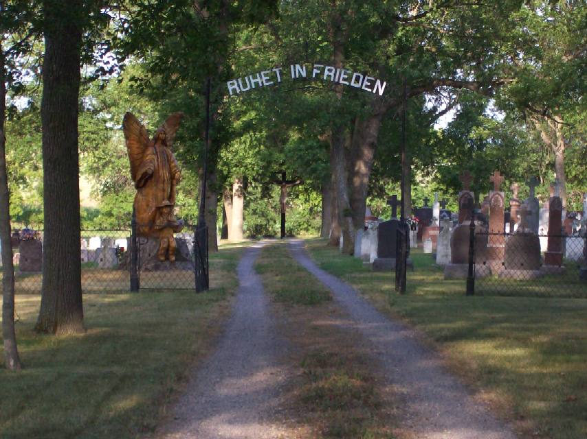
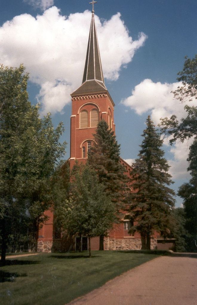
| Description | : | From Interstate 94 From I-94 between Sauk Centre and Melrose, take Exit 131 onto MN Highway 4. Travel south 12.5 miles to County Road 14. Turn right onto CR-14 and travel 1 mile. Turn left into the village of Spring Hill. St. Michael's Church and Cemetery will be to the left, at the top of the hill. From Paynesville, Minn From Paynesville, take Hwy 55 for approximately 3 miles. Exit onto MN Highway 4 and travel for 10 miles. Turn left onto CR-14 and travel 1 mile. Turn left into the village of Spring... Read More |
frequently asked questions (FAQ):
-
Where is Saint Michaels Cemetery?
Saint Michaels Cemetery is located at Spring Hill, Stearns County ,Minnesota ,USA.
-
Saint Michaels Cemetery cemetery's updated grave count on graveviews.com?
16 memorials
-
Where are the coordinates of the Saint Michaels Cemetery?
Latitude: 45.5249310
Longitude: -94.8254870
Nearby Cemetories:
1. Saint Margarets Cemetery
Lake Henry, Stearns County, USA
Coordinate: 45.4578018, -94.7981033
2. Saint Pauls Lutheran Cemetery
Lake Henry, Stearns County, USA
Coordinate: 45.4562800, -94.8495100
3. Saint Andrew's Cemetery
Greenwald, Stearns County, USA
Coordinate: 45.6002998, -94.8653030
4. Saints Peter and Paul Cemetery
Elrosa, Stearns County, USA
Coordinate: 45.5618250, -94.9401780
5. Saint John's Cemetery
Meire Grove, Stearns County, USA
Coordinate: 45.6292000, -94.8657990
6. Salem Cemetery
Paynesville, Stearns County, USA
Coordinate: 45.4411111, -94.7152778
7. Saint Martin Catholic Cemetery
Saint Martin, Stearns County, USA
Coordinate: 45.5009000, -94.6655000
8. Grove Cemetery
Kandiyohi County, USA
Coordinate: 45.4127998, -94.7733002
9. Saint Anthony Cemetery
Regal, Kandiyohi County, USA
Coordinate: 45.4081001, -94.8574982
10. Immaculate Conception Cemetery
New Munich, Stearns County, USA
Coordinate: 45.6324997, -94.7482986
11. Unity Church Cemetery
Sauk Centre, Stearns County, USA
Coordinate: 45.6046600, -94.9738600
12. East Grace Lutheran Cemetery
Belgrade, Stearns County, USA
Coordinate: 45.4567970, -94.9895280
13. Saint Francis de Sales Cemetery
Belgrade, Stearns County, USA
Coordinate: 45.4564018, -94.9897003
14. Saint Patrick Cemetery
Melrose, Stearns County, USA
Coordinate: 45.6693993, -94.8133011
15. Gausdal Lutheran Cemetery
New London, Kandiyohi County, USA
Coordinate: 45.3978740, -94.9283710
16. Saint Marys Cemetery
Melrose, Stearns County, USA
Coordinate: 45.6707993, -94.8024979
17. Oak Hill Cemetery
Melrose, Stearns County, USA
Coordinate: 45.6744003, -94.7913971
18. Old Immanuel Lutheran Cemetery
Albany, Stearns County, USA
Coordinate: 45.5922510, -94.6299590
19. Immanuel Lutheran Church Cemetery
Stearns County, USA
Coordinate: 45.5922012, -94.6296997
20. Grace West Cemetery
Belgrade, Stearns County, USA
Coordinate: 45.4431000, -95.0100021
21. United Methodist Cemetery
Belgrade, Stearns County, USA
Coordinate: 45.4425400, -95.0104300
22. Paynesville Cemetery
Paynesville, Stearns County, USA
Coordinate: 45.3774986, -94.7518997
23. Big Grove Church Cemetery
Brooten, Stearns County, USA
Coordinate: 45.5407140, -95.0549980
24. Saint Agnes Cemetery
Roscoe, Stearns County, USA
Coordinate: 45.4331170, -94.6359170


