
| Memorials | : | 19 |
| Location | : | Kent, Litchfield County, USA |
| Coordinate | : | 41.6756700, -73.4793000 |
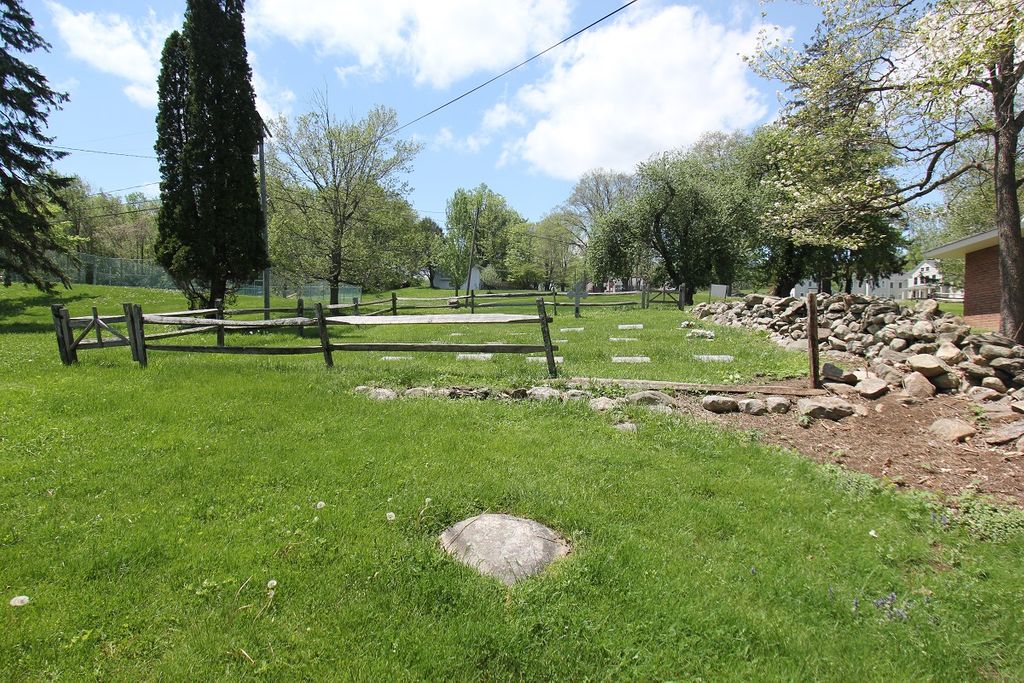
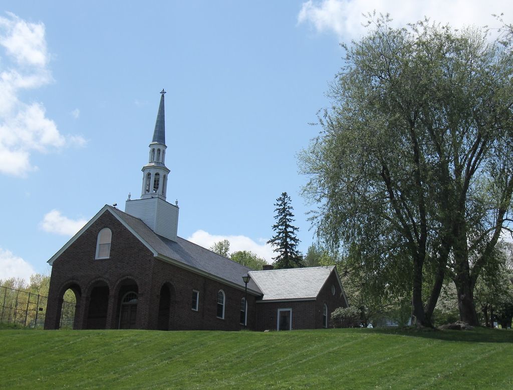
| Description | : | Saint Michael’s Chapel Cemetery is located at the South Kent School, a private, boys’ high school. Tel (860) 927-3539 |
frequently asked questions (FAQ):
-
Where is Saint Michaels Chapel Cemetery?
Saint Michaels Chapel Cemetery is located at 40 Bull’s Bridge Road Kent, Litchfield County ,Connecticut , 06757USA.
-
Saint Michaels Chapel Cemetery cemetery's updated grave count on graveviews.com?
19 memorials
-
Where are the coordinates of the Saint Michaels Chapel Cemetery?
Latitude: 41.6756700
Longitude: -73.4793000
Nearby Cemetories:
1. Fanton Family Cemetery
New Milford, Litchfield County, USA
Coordinate: 41.6696892, -73.4705505
2. Balmoral Pet Cemetery
New Milford, Litchfield County, USA
Coordinate: 41.6594620, -73.4893723
3. Bulls Bridge Cemetery
Kent, Litchfield County, USA
Coordinate: 41.6740530, -73.5058630
4. Schaghticoke Tribal Burial Ground
Kent, Litchfield County, USA
Coordinate: 41.6929800, -73.5013500
5. Morningside Cemetery
Gaylordsville, Litchfield County, USA
Coordinate: 41.6511002, -73.4835968
6. Peet Cemetery
New Milford, Litchfield County, USA
Coordinate: 41.6753006, -73.4439011
7. West Meetinghouse Cemetery
New Milford, Litchfield County, USA
Coordinate: 41.6497002, -73.4375000
8. Gaylordsville Cemetery
New Milford, Litchfield County, USA
Coordinate: 41.6319008, -73.4841995
9. Long Mountain Cemetery
New Milford, Litchfield County, USA
Coordinate: 41.6338997, -73.4586029
10. Saint Andrew's Cemetery
Kent, Litchfield County, USA
Coordinate: 41.7253304, -73.4782028
11. Upper Merryall Cemetery
New Milford, Litchfield County, USA
Coordinate: 41.6678009, -73.4119034
12. Saint Joseph Chapel Cemetery
Kent, Litchfield County, USA
Coordinate: 41.7270000, -73.4820200
13. Morehouse Family Cemetery
Kent, Litchfield County, USA
Coordinate: 41.7071120, -73.4239170
14. Webatuck Ground
Webatuck, Dutchess County, USA
Coordinate: 41.6366300, -73.5301000
15. Congregational Church Cemetery
Kent, Litchfield County, USA
Coordinate: 41.7312088, -73.4739685
16. Graves Cemetery
Sherman, Fairfield County, USA
Coordinate: 41.6222000, -73.5080000
17. Sacred Heart Cemetery
Kent, Litchfield County, USA
Coordinate: 41.7334862, -73.4703217
18. East Mountain Cemetery
Dover Plains, Dutchess County, USA
Coordinate: 41.7188060, -73.5361440
19. South Dover Rural Cemetery
Wingdale, Dutchess County, USA
Coordinate: 41.6526337, -73.5559006
20. Kent Hollow Cemetery
Kent, Litchfield County, USA
Coordinate: 41.7043991, -73.4041977
21. Gate of Heaven Cemetery
Wingdale, Dutchess County, USA
Coordinate: 41.6362570, -73.5481770
22. Allen Cemetery
Sherman, Fairfield County, USA
Coordinate: 41.6117500, -73.5028300
23. Flanders Cemetery
Kent, Litchfield County, USA
Coordinate: 41.7415900, -73.4593400
24. Gustav Brockhaus Burial Site
Dover Plains, Dutchess County, USA
Coordinate: 41.6959457, -73.5712592