
| Memorials | : | 2 |
| Location | : | The Grove, Coryell County, USA |
| Coordinate | : | 31.2768993, -97.5274963 |
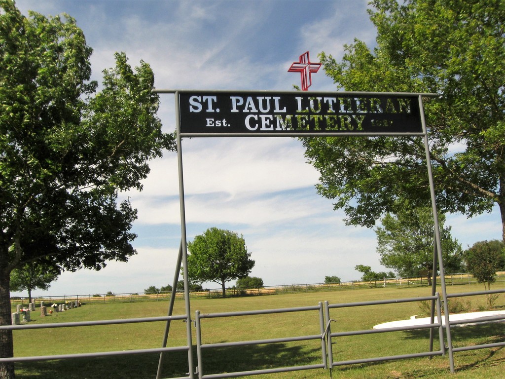
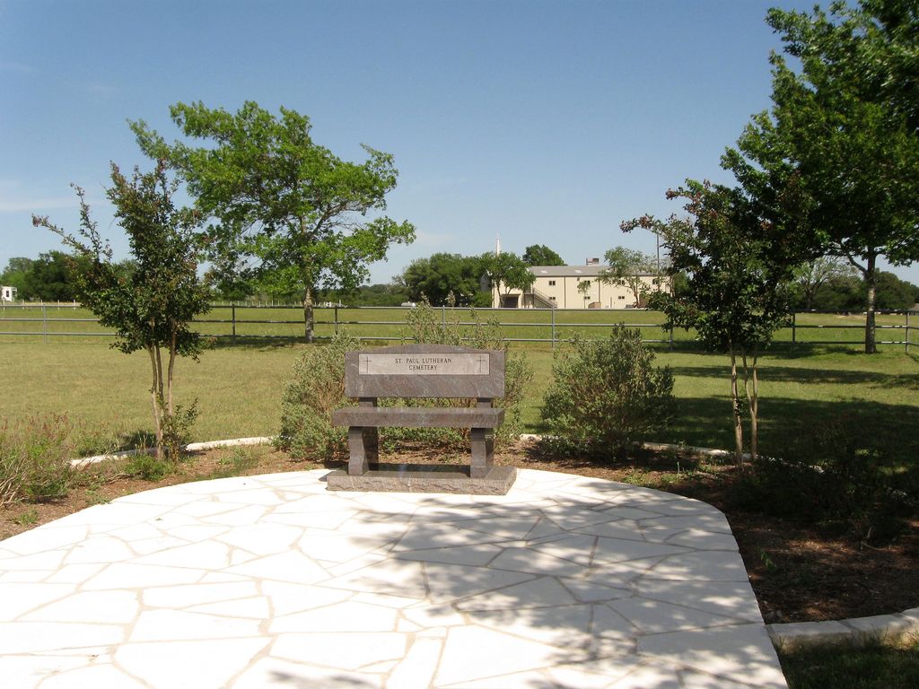
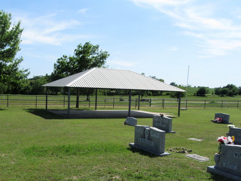
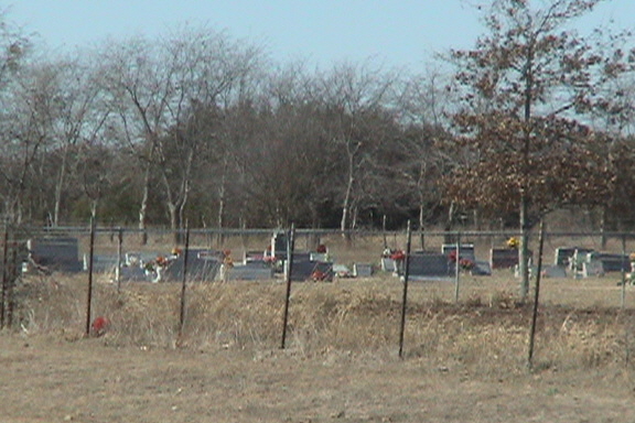
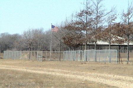
| Description | : | This cemetery is not highly visible from the road. Turn beside the church and proceed to the back and discover the cemetery. The churchyard cemetery is nicely fenced with pipe and very symmetrical rows of graves. There is a flagpole, a pavilion, and lots of curbing. Located near the entrance is a lovely prayer garden, just the place to stop and reflect on the lives of loved ones. Trees on planted on the perimeter of the fence row. Since this is a newer graveyard there are really no “old” stones and very few tall stones. St Paul has generous room... Read More |
frequently asked questions (FAQ):
-
Where is Saint Paul Lutheran Cemetery?
Saint Paul Lutheran Cemetery is located at 15672 CR 1114 The Grove, Coryell County ,Texas , 76528USA.
-
Saint Paul Lutheran Cemetery cemetery's updated grave count on graveviews.com?
2 memorials
-
Where are the coordinates of the Saint Paul Lutheran Cemetery?
Latitude: 31.2768993
Longitude: -97.5274963
Nearby Cemetories:
1. Graham Cemetery
Coryell County, USA
Coordinate: 31.2931004, -97.5207977
2. Flint Creek Cemetery
The Grove, Coryell County, USA
Coordinate: 31.2727203, -97.5677795
3. Trimmier Family Cemetery
Moffat, Bell County, USA
Coordinate: 31.2378310, -97.5545470
4. Saint Paul Lutheran Cemetery
Bell County, USA
Coordinate: 31.2385998, -97.4933014
5. Seaton Cemetery
Leon Junction, Coryell County, USA
Coordinate: 31.3253002, -97.5718994
6. Moody-Leon Cemetery
Bell County, USA
Coordinate: 31.2766991, -97.4533005
7. Buckhorn Cemetery
Meador Grove, Bell County, USA
Coordinate: 31.2761002, -97.4531021
8. White Hall Cemetery
White Hall, Bell County, USA
Coordinate: 31.2199993, -97.4586029
9. Moffat Cemetery
Moffat, Bell County, USA
Coordinate: 31.2171993, -97.4571991
10. Eagle Springs Cemetery
Oglesby, Coryell County, USA
Coordinate: 31.3502998, -97.4757996
11. Station Creek Cemetery
Cavitt, Coryell County, USA
Coordinate: 31.3703003, -97.4938965
12. Post Oak Cemetery
Oglesby, Coryell County, USA
Coordinate: 31.3796997, -97.5243988
13. King Smith Cemetery
Gatesville, Coryell County, USA
Coordinate: 31.3283005, -97.6457977
14. Hubbard Cemetery
Coryell County, USA
Coordinate: 31.2681007, -97.6647034
15. Mound Cemetery
Mound, Coryell County, USA
Coordinate: 31.3507996, -97.6521988
16. Lamb Cemetery
Coryell County, USA
Coordinate: 31.3841991, -97.6222000
17. Hall Cemetery
Fort Hood, Bell County, USA
Coordinate: 31.1430400, -97.5908660
18. Comanche Nat'l Indian
Fort Hood, Coryell County, USA
Coordinate: 31.3589140, -97.6705170
19. Davidson Cemetery
Gatesville, Coryell County, USA
Coordinate: 31.4043999, -97.6138992
20. Ruth Cemetery
Coryell County, USA
Coordinate: 31.3183002, -97.6952972
21. Bellwood Memorial Park
Temple, Bell County, USA
Coordinate: 31.1541996, -97.4203033
22. Pleasant Grove Cemetery
Coryell County, USA
Coordinate: 31.3694000, -97.6714020
23. Cedar Creek Cemetery
Temple, Bell County, USA
Coordinate: 31.1678009, -97.3949966
24. Bethel Cemetery
Gatesville, Coryell County, USA
Coordinate: 31.3432999, -97.7011032