
| Memorials | : | 2 |
| Location | : | Dollville, Shelby County, USA |
| Coordinate | : | 39.4499860, -88.9926070 |
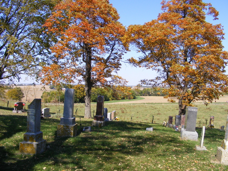
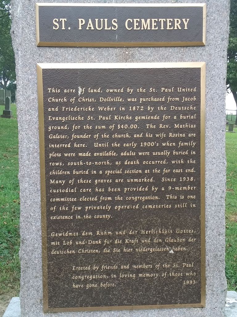
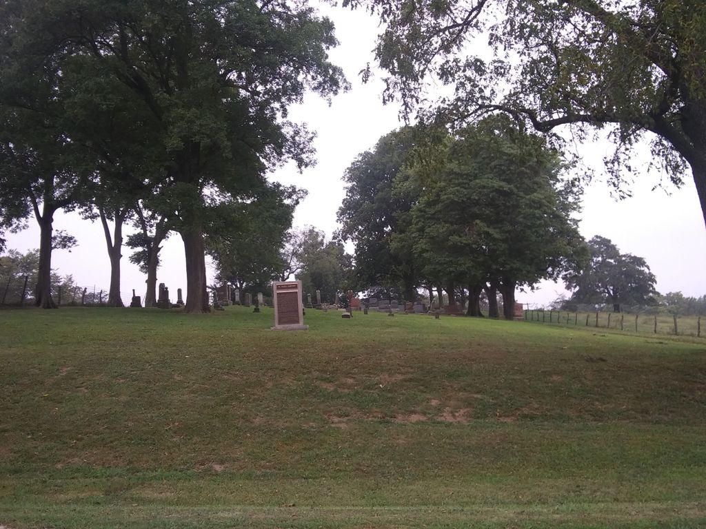
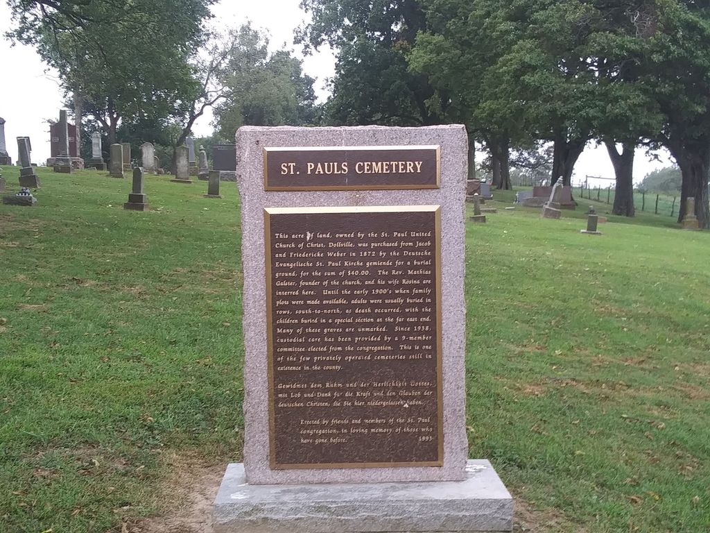
| Description | : | The cemetery is located in Rural Township on the northwest corner of the intersection of Dollville Road (County Road 800 E) and County Road 1600 N. The U.S. Geological Survey (USGS) Geographic Names Information System (GNIS) feature ID for the cemetery is 1967253 (Saint Paul Cemetery). |
frequently asked questions (FAQ):
-
Where is Saint Paul United Church of Christ Cemetery?
Saint Paul United Church of Christ Cemetery is located at Dollville Road (County Road 800 E) and County Road 1600 N Dollville, Shelby County ,Illinois , 62571USA.
-
Saint Paul United Church of Christ Cemetery cemetery's updated grave count on graveviews.com?
2 memorials
-
Where are the coordinates of the Saint Paul United Church of Christ Cemetery?
Latitude: 39.4499860
Longitude: -88.9926070
Nearby Cemetories:
1. Mautz Cemetery
Dollville, Shelby County, USA
Coordinate: 39.4494190, -89.0128280
2. Knobs Cemetery
Dollville, Shelby County, USA
Coordinate: 39.4320190, -88.9737080
3. Methodist Cemetery
Tower Hill, Shelby County, USA
Coordinate: 39.4244849, -88.9745225
4. Middlesworth Cemetery
Tower Hill, Shelby County, USA
Coordinate: 39.4155960, -88.9572993
5. Armstrong Cemetery
Henton, Shelby County, USA
Coordinate: 39.4616770, -88.9374590
6. Henton Cemetery
Henton, Shelby County, USA
Coordinate: 39.4650400, -88.9059090
7. Tower Hill Cemetery
Tower Hill, Shelby County, USA
Coordinate: 39.3824339, -88.9670813
8. Eiler Cemetery
Tower Hill, Shelby County, USA
Coordinate: 39.3717003, -88.9850006
9. Linwood Cemetery
Pana, Christian County, USA
Coordinate: 39.3817300, -89.0501800
10. Mount Pleasant Cemetery
Rural Township, Shelby County, USA
Coordinate: 39.5216160, -88.9422020
11. Twin Pines Cemetery
Pana, Christian County, USA
Coordinate: 39.3818790, -89.0521430
12. Pleasant View Cemetery
Assumption, Christian County, USA
Coordinate: 39.5192630, -89.0582800
13. Greenwood Cemetery
Assumption, Christian County, USA
Coordinate: 39.5192710, -89.0582660
14. Saint Marys Cemetery
Assumption, Christian County, USA
Coordinate: 39.5184550, -89.0609050
15. Craig Cemetery
Shelbyville, Shelby County, USA
Coordinate: 39.4508018, -88.8760986
16. Bethany Cemetery
Moweaqua, Shelby County, USA
Coordinate: 39.5372940, -88.9561270
17. Robinson Creek Cemetery
Tower Hill, Shelby County, USA
Coordinate: 39.3928181, -88.8989626
18. Saint John's Cemetery
Shelbyville, Shelby County, USA
Coordinate: 39.4278101, -88.8759010
19. Plank Amish Cemetery
Henton, Shelby County, USA
Coordinate: 39.4639960, -88.8692880
20. Shelby County Almshouse
Shelbyville, Shelby County, USA
Coordinate: 39.4286499, -88.8709030
21. County Home Cemetery
Shelby County, USA
Coordinate: 39.4295470, -88.8674210
22. Liston Cemetery
Tower Hill, Shelby County, USA
Coordinate: 39.3480966, -88.9745205
23. Washington Cemetery
Shelbyville, Shelby County, USA
Coordinate: 39.4378014, -88.8574982
24. Mound Cemetery
Pana, Christian County, USA
Coordinate: 39.3888810, -89.1157460