
| Memorials | : | 6 |
| Location | : | Chinese Camp, Tuolumne County, USA |
| Coordinate | : | 37.8704900, -120.4295200 |
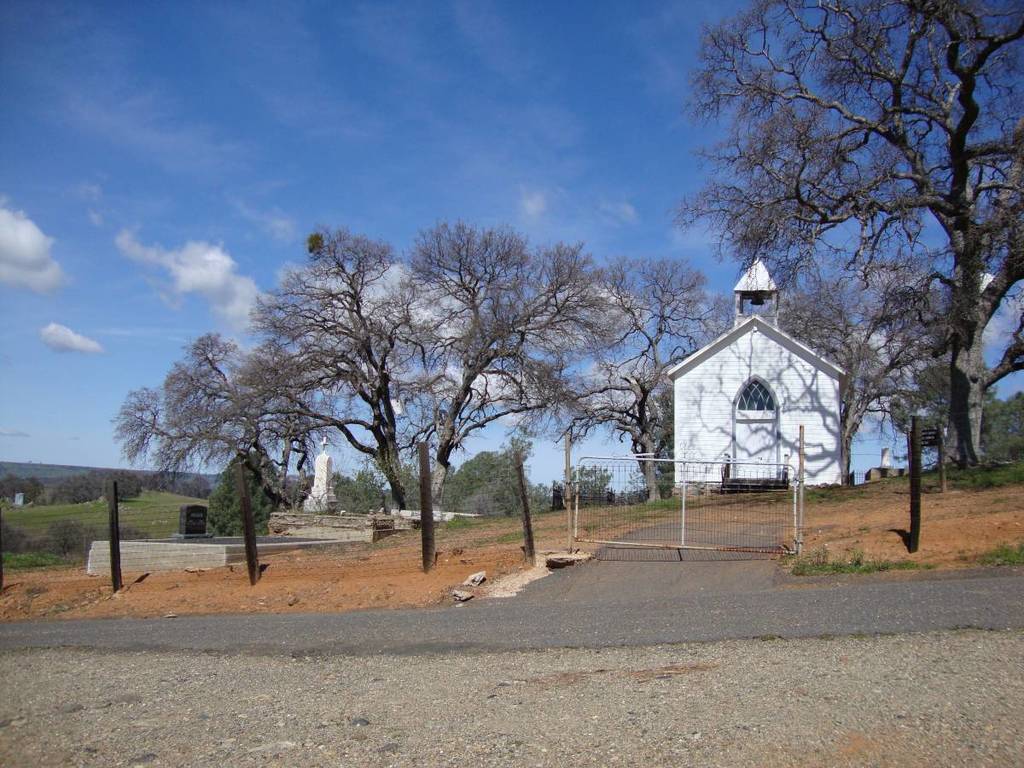
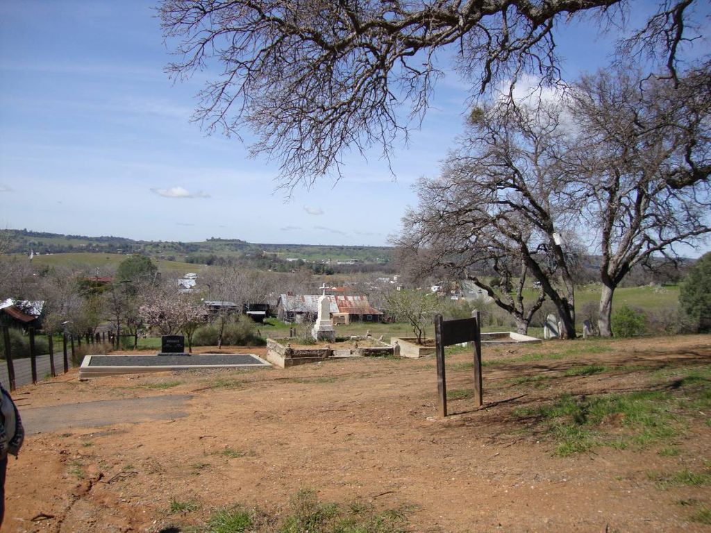
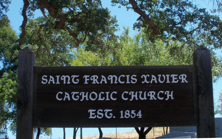
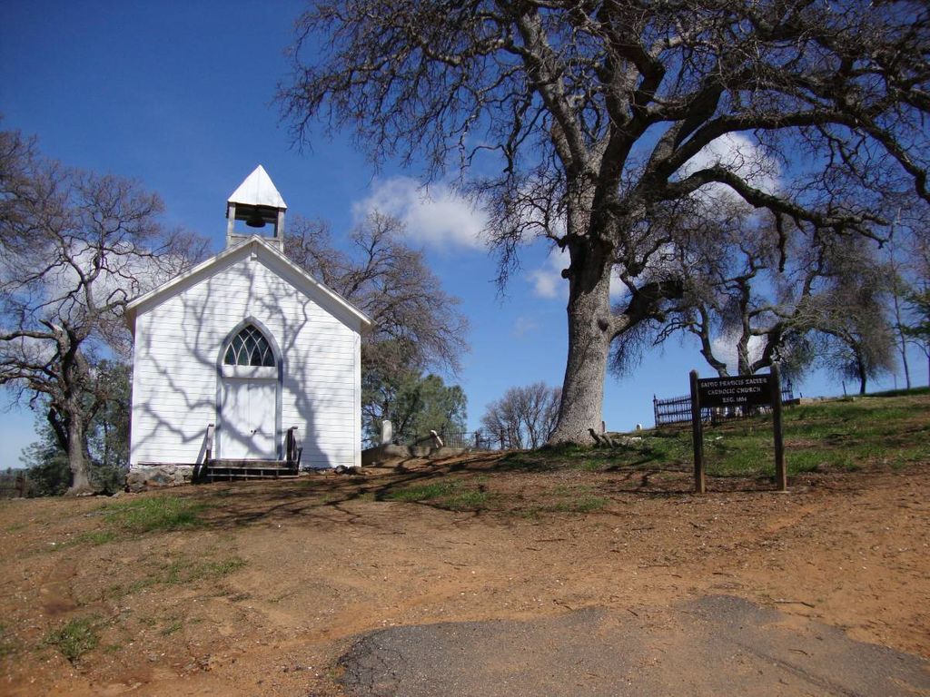
| Description | : | St. Xavier Catholic Church was the first non-Chinese house of worship in Chinese Camp. Built in 1855 by popular subscription of funds and labor, the structure originally had a shingle roof which was replaced with sheet iron and several coats of paint when the building was restored in 1949. Father Henry Aleric was the first priest to serve the seventy parishioners at Chinese Camp. He traveled a circuit through the mines, covering an area stretching from Knights Ferry to Second Garrote. He rode a mule. The cemetery surrounds the church. If the church and cemetery look familiar it is... Read More |
frequently asked questions (FAQ):
-
Where is Saint Xavier Catholic Cemetery?
Saint Xavier Catholic Cemetery is located at East end of Main St. aka Salvado Rd., 700 ft. NE of Hwy 120/49 Chinese Camp, Tuolumne County ,California ,USA.
-
Saint Xavier Catholic Cemetery cemetery's updated grave count on graveviews.com?
6 memorials
-
Where are the coordinates of the Saint Xavier Catholic Cemetery?
Latitude: 37.8704900
Longitude: -120.4295200
Nearby Cemetories:
1. Chinese Camp Odd Fellows Cemetery
Chinese Camp, Tuolumne County, USA
Coordinate: 37.8698000, -120.4311800
2. Chinese Camp Cemetery
Chinese Camp, Tuolumne County, USA
Coordinate: 37.8726800, -120.4267700
3. Montezuma Cemetery
Tuolumne County, USA
Coordinate: 37.9054600, -120.4537800
4. Stent Cemetery
Stent, Tuolumne County, USA
Coordinate: 37.9188300, -120.4133600
5. Ballard Cemetery
Tuolumne County, USA
Coordinate: 37.8150400, -120.4508200
6. Green Springs Burial Ground
Tuolumne County, USA
Coordinate: 37.8377780, -120.5073770
7. Jamestown Cemetery
Jamestown, Tuolumne County, USA
Coordinate: 37.9466000, -120.4255000
8. Saint James Catholic Cemetery
Jamestown, Tuolumne County, USA
Coordinate: 37.9510000, -120.4230000
9. Jamestown Masonic Cemetery
Jamestown, Tuolumne County, USA
Coordinate: 37.9581000, -120.4202000
10. Morgan Chapel Cemetery
Tuolumne County, USA
Coordinate: 37.9265200, -120.3143000
11. Tuolumne County Hospital Cemetery
Sonora, Tuolumne County, USA
Coordinate: 37.9742110, -120.3777390
12. Sonora Odd Fellows Cemetery
Sonora, Tuolumne County, USA
Coordinate: 37.9771000, -120.3818000
13. Sonora City Cemetery
Sonora, Tuolumne County, USA
Coordinate: 37.9824000, -120.3885000
14. Sonora Masonic Cemetery
Sonora, Tuolumne County, USA
Coordinate: 37.9804000, -120.3788800
15. Sonora Hebrew Cemetery
Sonora, Tuolumne County, USA
Coordinate: 37.9842100, -120.3865100
16. Tuttletown Cemetery
Tuttletown, Tuolumne County, USA
Coordinate: 37.9919100, -120.4568000
17. Mountain Shadow Cemetery
Sonora, Tuolumne County, USA
Coordinate: 37.9897300, -120.3690100
18. Saint Patricks Catholic Mountain View Cemetery
Sonora, Tuolumne County, USA
Coordinate: 37.9903100, -120.3690500
19. Gillis Family Cemetery
Tuttletown, Tuolumne County, USA
Coordinate: 37.9994000, -120.4781200
20. Shaws Flat Cemetery
Shaws Flat, Tuolumne County, USA
Coordinate: 38.0062800, -120.4000500
21. Citizens Cemetery
Big Oak Flat, Tuolumne County, USA
Coordinate: 37.8244470, -120.2588490
22. Our Lady of Mount Carmel Cemetery
Big Oak Flat, Tuolumne County, USA
Coordinate: 37.8261584, -120.2550170
23. Divide Cemetery
Groveland, Tuolumne County, USA
Coordinate: 37.8289300, -120.2439300
24. Springfield Cemetery
Tuolumne County, USA
Coordinate: 38.0227400, -120.4153600