
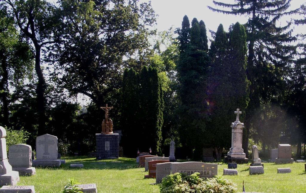
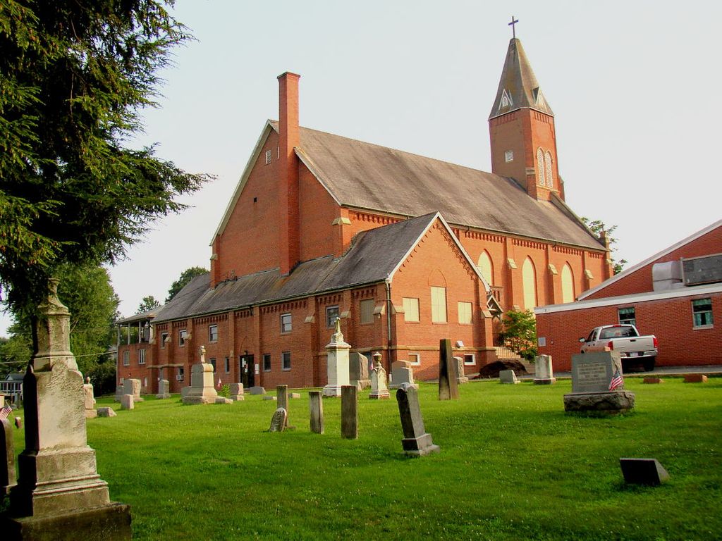
| Memorials | : | 12 |
| Location | : | Canal Fulton, Stark County, USA |
| Coordinate | : | 40.8936700, -81.5990100 |
frequently asked questions (FAQ):
-
Where is Saints Philip and James Church Cemetery?
Saints Philip and James Church Cemetery is located at Canal Fulton, Stark County ,Ohio ,USA.
-
Saints Philip and James Church Cemetery cemetery's updated grave count on graveviews.com?
12 memorials
-
Where are the coordinates of the Saints Philip and James Church Cemetery?
Latitude: 40.8936700
Longitude: -81.5990100

Nearby Cemetories:
1. Canal Fulton Cemetery
Canal Fulton, Stark County, USA
Coordinate: 40.8905983, -81.6061020
2. Old Pioneer Cemetery
Canal Fulton, Stark County, USA
Coordinate: 40.8869300, -81.6012360
3. Ohio Vietnam Veterans Memorial Park
Clinton, Summit County, USA
Coordinate: 40.9244770, -81.6255430
4. Butterbridge Farms Pet Cemetery
Canal Fulton, Stark County, USA
Coordinate: 40.8617140, -81.5729380
5. Clinton Cemetery
Clinton, Summit County, USA
Coordinate: 40.9243011, -81.6295013
6. Patton Cemetery
Marshallville, Wayne County, USA
Coordinate: 40.8803370, -81.6479060
7. Clover Hill Cemetery
Stark County, USA
Coordinate: 40.8657990, -81.6474991
8. Manchester Cemetery
New Franklin, Summit County, USA
Coordinate: 40.9352989, -81.5708008
9. Newmans Creek Cemetery
North Lawrence, Stark County, USA
Coordinate: 40.8488998, -81.6211014
10. Clapper Cemetery
Stark County, USA
Coordinate: 40.8339005, -81.5783005
11. Kurtz Cemetery
Stark County, USA
Coordinate: 40.8314018, -81.6121979
12. Mudbrook Cemetery
Massillon, Stark County, USA
Coordinate: 40.8727989, -81.5141983
13. Newman Cemetery
Stark County, USA
Coordinate: 40.8292007, -81.5603027
14. Pleasant View Church Cemetery
North Lawrence, Stark County, USA
Coordinate: 40.8256111, -81.6312332
15. Gallagher Settlement Cemetery
Burton City, Wayne County, USA
Coordinate: 40.8365280, -81.6623890
16. Grill Cemetery
New Franklin, Summit County, USA
Coordinate: 40.9650383, -81.6312714
17. Saint Nicholas Cemetery
New Franklin, Summit County, USA
Coordinate: 40.9655266, -81.6321335
18. Colliers Cemetery
Doylestown, Wayne County, USA
Coordinate: 40.9603996, -81.6530991
19. Saint Michaels Cemetery
Marshallville, Wayne County, USA
Coordinate: 40.8905983, -81.7052994
20. County Line Mennonite Cemetery
Wayne County, USA
Coordinate: 40.8218002, -81.6483994
21. Himelrigh Cemetery
Barberton, Summit County, USA
Coordinate: 40.9797820, -81.6083600
22. Kyser Cemetery
Barberton, Summit County, USA
Coordinate: 40.9775696, -81.5713272
23. Klinefelter Cemetery
Green, Summit County, USA
Coordinate: 40.9383011, -81.4953995
24. Saint Paul Cemetery
McDonaldsville, Stark County, USA
Coordinate: 40.8914950, -81.4785950