
| Memorials | : | 0 |
| Location | : | Scyrene, Clarke County, USA |
| Coordinate | : | 31.7616220, -87.6437790 |
frequently asked questions (FAQ):
-
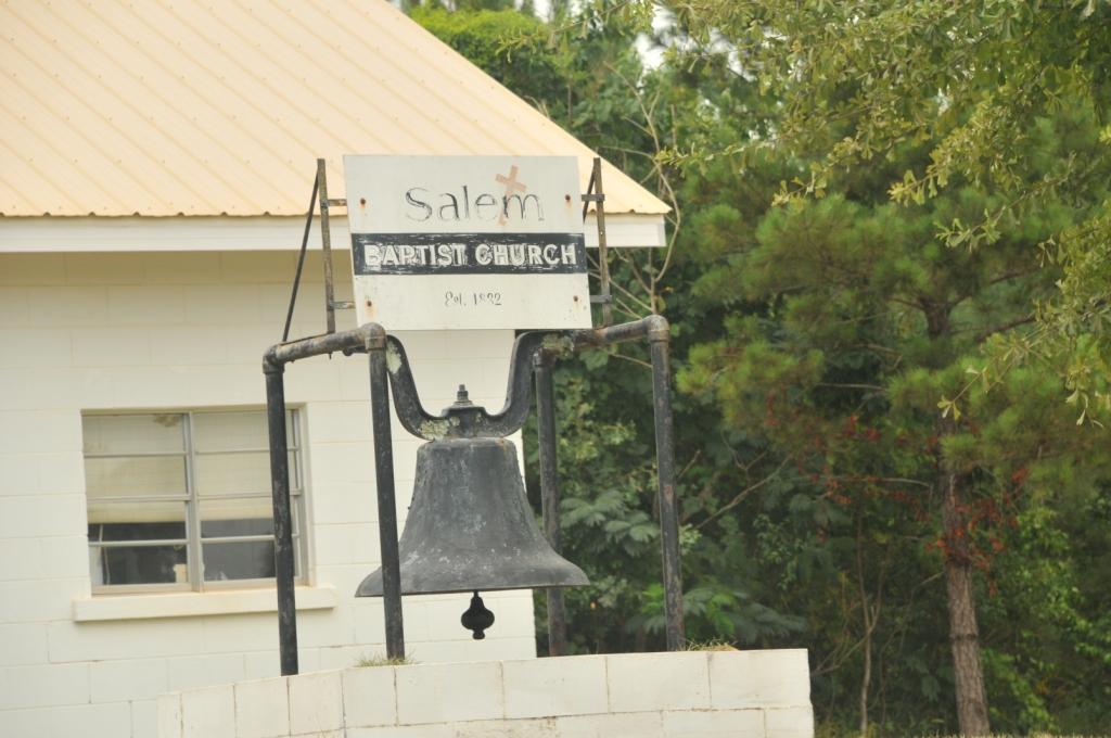
Where is Salem Baptist Church Cemetery?
Salem Baptist Church Cemetery is located at Scyrene, Clarke County ,Alabama ,USA.
-
Salem Baptist Church Cemetery cemetery's updated grave count on graveviews.com?
0 memorials
-
Where are the coordinates of the Salem Baptist Church Cemetery?
Latitude: 31.7616220
Longitude: -87.6437790

Nearby Cemetories:
1. Gates Cemetery
Clarke County, USA
Coordinate: 31.7402992, -87.6361008
2. Old Salem Cemetery
Dickinson, Clarke County, USA
Coordinate: 31.7418995, -87.6592026
3. Baugh Cemetery
Nettleboro, Clarke County, USA
Coordinate: 31.7856000, -87.6304000
4. Dickinson Cemetery
Dickinson, Clarke County, USA
Coordinate: 31.7629833, -87.7107239
5. Liberty Baptist Church Cemetery
Clarke County, USA
Coordinate: 31.8132992, -87.7005997
6. Bethel Cemetery
Clarke County, USA
Coordinate: 31.6833000, -87.6583023
7. Kennedy Cemetery
Chance, Clarke County, USA
Coordinate: 31.7847004, -87.5522003
8. Fellowship Cemetery
Clarke County, USA
Coordinate: 31.7110996, -87.5616989
9. Pleasant Hill Cemetery
Thomasville, Clarke County, USA
Coordinate: 31.8483009, -87.6352997
10. Kidd Family Cemetery
Chance, Clarke County, USA
Coordinate: 31.7332200, -87.5464200
11. Bassett Creek Cemetery
Fulton, Clarke County, USA
Coordinate: 31.7742672, -87.7482452
12. Henley Cemetery
Fulton, Clarke County, USA
Coordinate: 31.7910995, -87.7435989
13. Asbury Baptist Church Cemetery
Grove Hill, Clarke County, USA
Coordinate: 31.7046420, -87.7258510
14. Spinks Cemetery
Clarke County, USA
Coordinate: 31.7203007, -87.7403030
15. Orange Hill Baptist Church Cemetery
Grove Hill, Clarke County, USA
Coordinate: 31.7200160, -87.7405770
16. Chance Baptist Church Cemetery
Chance, Clarke County, USA
Coordinate: 31.7468000, -87.5309130
17. Amity Baptist Church Cemetery
Clarke County, USA
Coordinate: 31.6641998, -87.6588974
18. Rockwest A.M.E. Church Cemetery
Pleasant Hill, Clarke County, USA
Coordinate: 31.8605570, -87.6556970
19. Indian Ridge Baptist Church Cemetery
Clarke County, USA
Coordinate: 31.6618242, -87.6630514
20. New Hope Baptist Church Cemetery #2
Thomasville, Clarke County, USA
Coordinate: 31.8625560, -87.6523750
21. Magnolia Lawn Cemetery
Clarke County, USA
Coordinate: 31.7402992, -87.7639008
22. Saint Thomas A.M.E. Church Cemetery
Lower Peach Tree, Wilcox County, USA
Coordinate: 31.8447010, -87.5597510
23. Lower Peach Tree Cemetery
Wilcox County, USA
Coordinate: 31.8456001, -87.5580978
24. Kidd and McCoy Family Cemetery
Lower Peach Tree, Wilcox County, USA
Coordinate: 31.7843420, -87.5157130