| Memorials | : | 4 |
| Location | : | Lancaster, Lancaster County, USA |
| Coordinate | : | 40.0739260, -76.2051680 |
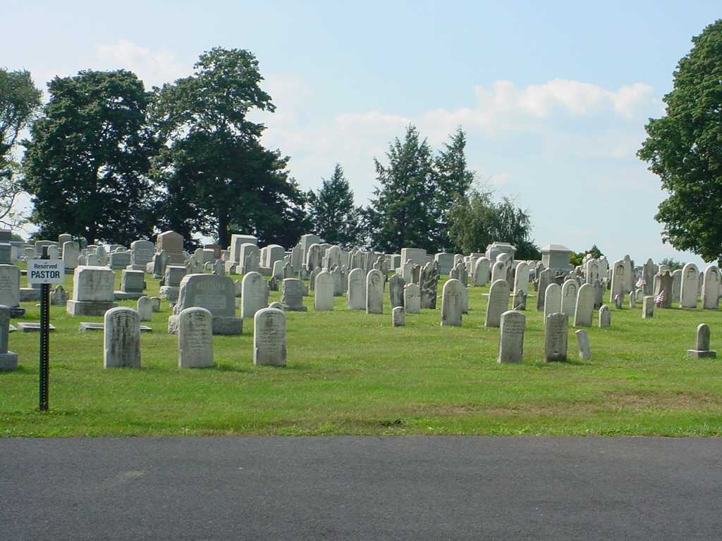
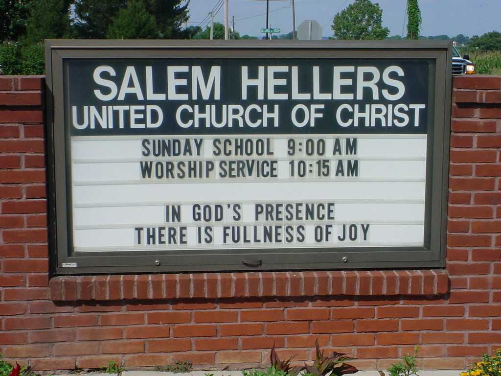
| Description | : | According to the church's website the name of the church is Salem Evangelical Reformed Church, Hellers. |
frequently asked questions (FAQ):
-
Where is Salem Evangelical Reformed Church Cemetery?
Salem Evangelical Reformed Church Cemetery is located at Horseshoe Road and Hellers Church Road Lancaster, Lancaster County ,Pennsylvania , 17601USA.
-
Salem Evangelical Reformed Church Cemetery cemetery's updated grave count on graveviews.com?
4 memorials
-
Where are the coordinates of the Salem Evangelical Reformed Church Cemetery?
Latitude: 40.0739260
Longitude: -76.2051680
Nearby Cemetories:
1. Bassler-Greider-Geist Graveyard
Lampeter, Lancaster County, USA
Coordinate: 40.0759620, -76.2373440
2. Bard Cemetery
Lancaster, Lancaster County, USA
Coordinate: 40.0842070, -76.2390450
3. Stumptown Mennonite Cemetery
Bird in Hand, Lancaster County, USA
Coordinate: 40.0620308, -76.1673508
4. Hershey-Groff Cemetery
Bareville, Lancaster County, USA
Coordinate: 40.0849800, -76.1648700
5. Grebill Cemetery
Lancaster County, USA
Coordinate: 40.1042750, -76.1838980
6. Bareville Union Cemetery
Bareville, Lancaster County, USA
Coordinate: 40.0961620, -76.1705790
7. Church of the Good Shepherd Memorial Garden
Lancaster, Lancaster County, USA
Coordinate: 40.0583000, -76.2488000
8. Bird in Hand Methodist Cemetery
Bird in Hand, Lancaster County, USA
Coordinate: 40.0388947, -76.1869431
9. Lampeter Friends Meeting House and Burial Grounds
Lancaster County, USA
Coordinate: 40.0390000, -76.1845000
10. Grace United Church of Christ Memorial Garden
Lancaster, Lancaster County, USA
Coordinate: 40.0760000, -76.2666000
11. Mellinger Mennonite Cemetery
Lancaster, Lancaster County, USA
Coordinate: 40.0353450, -76.2507100
12. Brownstown Evangelical Cemetery
Brownstown, Lancaster County, USA
Coordinate: 40.1271000, -76.2099000
13. Shirk Reformed Mennonite Cemetery
Brownstown, Lancaster County, USA
Coordinate: 40.1296600, -76.2010460
14. Rudisill Family Cemetery
Lancaster, Lancaster County, USA
Coordinate: 40.0515100, -76.2764180
15. Saint Thomas Episcopal Church Memorial Garden
Lancaster, Lancaster County, USA
Coordinate: 40.0988760, -76.2764070
16. Hartman Zercher Cemetery
Bridgeport, Lancaster County, USA
Coordinate: 40.0413930, -76.2711970
17. Denlinger Cemetery
East Lampeter Township, Lancaster County, USA
Coordinate: 40.0140700, -76.1950780
18. Landis Valley Mennonite Cemetery
Lancaster, Lancaster County, USA
Coordinate: 40.0921059, -76.2814178
19. Westminster Presbyterian Cemetery
Lancaster, Lancaster County, USA
Coordinate: 40.0833250, -76.2884620
20. Forney Grave Yard
Brownstown, Lancaster County, USA
Coordinate: 40.1379530, -76.2186870
21. Old Leacock Presbyterian Church Cemetery
Intercourse, Lancaster County, USA
Coordinate: 40.0387192, -76.1331482
22. Grandview United Methodist Church Memorial Gardens
Lancaster, Lancaster County, USA
Coordinate: 40.0588880, -76.2898860
23. Saint Anthonys Roman Catholic Cemetery
Lancaster, Lancaster County, USA
Coordinate: 40.0430984, -76.2850037
24. Conestoga Old Order Mennonite Church Cemetery
Lancaster County, USA
Coordinate: 40.1392320, -76.1782550


