
| Memorials | : | 0 |
| Location | : | McClellanville, Charleston County, USA |
| Coordinate | : | 33.1987582, -79.4376118 |
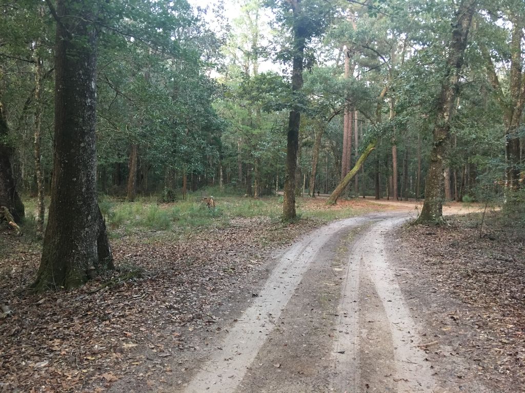
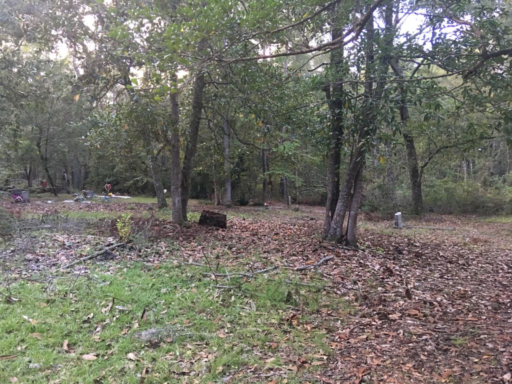
| Description | : | The cemetery is located on the left side of the main road before leading you into the entrance of the Hampton Plantation Mansion on a small dirt road. It is in the woods mostly covered by trees and fallen debris, the grounds are not maintained, and many graves are no longer visible. Sam Hill bears the graves of the former enslaved African-Americans of Hampton plantation who died there.Adjoining owned plantations were Jack's Bluff and Wambaw. You are not permitted to visit and it is still an active cemetery for relatives of former slave families. Every enslaved person had tasks. Evidence discovered during... Read More |
frequently asked questions (FAQ):
-
Where is Sam Hill Cemetery?
Sam Hill Cemetery is located at 1950 Rutledge Rd. McClellanville, Charleston County ,South Carolina ,USA.
-
Sam Hill Cemetery cemetery's updated grave count on graveviews.com?
0 memorials
-
Where are the coordinates of the Sam Hill Cemetery?
Latitude: 33.1987582
Longitude: -79.4376118
Nearby Cemetories:
1. Hampton Plantation Cemetery
McClellanville, Charleston County, USA
Coordinate: 33.1940000, -79.4432100
2. Crow Hill
Crow Hill, Georgetown County, USA
Coordinate: 33.2165000, -79.3971000
3. Old Board Cemetery
McClellanville, Charleston County, USA
Coordinate: 33.1626410, -79.4133230
4. Collins Cemetery
Georgetown, Georgetown County, USA
Coordinate: 33.2421330, -79.4206000
5. Annie Collins Cemetery
Georgetown, Georgetown County, USA
Coordinate: 33.2464700, -79.4203160
6. Williams Cemetery
Georgetown, Georgetown County, USA
Coordinate: 33.2462870, -79.4059100
7. Singleton Chapel AME Church Cemetery
North Santee, Georgetown County, USA
Coordinate: 33.2482960, -79.4013710
8. Mount Zion AME Church Cemetery
North Santee, Georgetown County, USA
Coordinate: 33.2489014, -79.4008026
9. Summer Hill Cemetery
North Santee, Georgetown County, USA
Coordinate: 33.2755000, -79.4358800
10. Wrens Chapel United Methodist Church Cemetery
McClellanville, Charleston County, USA
Coordinate: 33.1227000, -79.4892200
11. Saint Peters AME Church Cemetery
McClellanville, Charleston County, USA
Coordinate: 33.1213580, -79.4944210
12. Richfield Kinloch Plantation
Georgetown, Georgetown County, USA
Coordinate: 33.2103330, -79.3268000
13. Sullivan Cemetery
Honey Hill, Charleston County, USA
Coordinate: 33.1385300, -79.5265000
14. Old Hickory Tree Cemetery
North Santee, Georgetown County, USA
Coordinate: 33.2904500, -79.4728500
15. Honey Hill Cemetery
Shulerville, Berkeley County, USA
Coordinate: 33.1906320, -79.5528170
16. DuPre Family Cemetery
McClellanville, Charleston County, USA
Coordinate: 33.1009100, -79.4267500
17. Little Bethel AME Church Cemetery
North Santee, Georgetown County, USA
Coordinate: 33.2173890, -79.3208880
18. Bethel AME Church Cemetery
McClellanville, Charleston County, USA
Coordinate: 33.0975040, -79.4569010
19. McClellanville Seventh Day Adventist Cemetery
McClellanville, Charleston County, USA
Coordinate: 33.0975870, -79.4590830
20. Five Fathom Baptist Church Memorial Gardens
McClellanville, Charleston County, USA
Coordinate: 33.0933590, -79.4620240
21. Old Bethel AME Church Cemetery
McClellanville, Charleston County, USA
Coordinate: 33.0893600, -79.4567100
22. New Wappetaw Presbyterian Church Cemetery
McClellanville, Charleston County, USA
Coordinate: 33.0909960, -79.4716660
23. McClellanville Methodist Church Cemetery
McClellanville, Charleston County, USA
Coordinate: 33.0909310, -79.4720510
24. Saint Johns Missionary Baptist Church Cemetery
McClellanville, Charleston County, USA
Coordinate: 33.0892740, -79.4640300