
| Memorials | : | 0 |
| Location | : | Chester, Orange County, USA |
| Coordinate | : | 41.3313080, -74.2469020 |
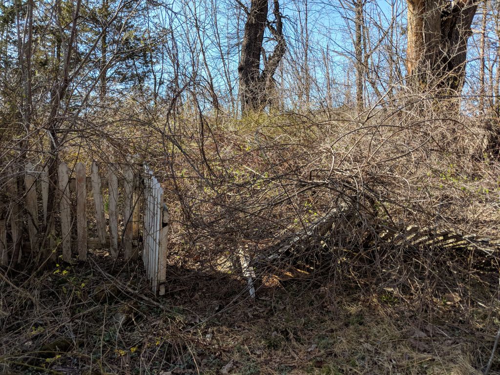
| Description | : | Per the First of the Orange County, NY, Cemetery Series, the Samuel Davis Cemetery is now owned by the NY State Parks and is on the west side of the Lazy Hill Road in Goosepond Mountain State Park. The property was in possession of Davis Family in Sugar Loaf Valley. To reach the cemetery, one needs to hike, and possibly bushwhack. Please consult with a map and GPS coordinates before hiking. The sign, “Board Family Cemetery”, from Lazy Hill Road is misleading as it points in the direction of this cemetery instead. Sources: “Cemeteries of Chester, NY” by The Orange County... Read More |
frequently asked questions (FAQ):
-
Where is Samuel Davis Cemetery?
Samuel Davis Cemetery is located at Lazy Hill Road Chester, Orange County ,New York , 10918USA.
-
Samuel Davis Cemetery cemetery's updated grave count on graveviews.com?
0 memorials
-
Where are the coordinates of the Samuel Davis Cemetery?
Latitude: 41.3313080
Longitude: -74.2469020
Nearby Cemetories:
1. Board Family Cemetery
Chester, Orange County, USA
Coordinate: 41.3283390, -74.2483610
2. Quaker Cemetery
Chester, Orange County, USA
Coordinate: 41.3287820, -74.2298280
3. Roe Cemetery
Orange County, USA
Coordinate: 41.3372002, -74.2705994
4. David Roe Cemetery
Orange County, USA
Coordinate: 41.3299569, -74.2795423
5. Seely Family Cemetery
Chester, Orange County, USA
Coordinate: 41.3572273, -74.2533264
6. Chester Cemetery
Chester, Orange County, USA
Coordinate: 41.3525009, -74.2742004
7. Our Lady of the Assumption Cemetery
Monroe, Orange County, USA
Coordinate: 41.3363500, -74.2079500
8. Oxford Depot Cemetery
Orange County, USA
Coordinate: 41.3507576, -74.2152786
9. Howell-Hallock Burying Ground
Chester, Orange County, USA
Coordinate: 41.3030970, -74.2768550
10. Marvin Farm Cemetery
Chester, Orange County, USA
Coordinate: 41.3624992, -74.2716675
11. Hambletonian Cemetery
Chester, Orange County, USA
Coordinate: 41.3633300, -74.2754600
12. McGinnisberg Cemetery
Chester, Orange County, USA
Coordinate: 41.2876970, -74.2527310
13. Saint Columba Cemetery
Chester, Orange County, USA
Coordinate: 41.3764000, -74.2481003
14. Greycourt Cemetery
Orange County, USA
Coordinate: 41.3778000, -74.2414017
15. Bull Family Cemetery
Blooming Grove, Orange County, USA
Coordinate: 41.3576400, -74.1933670
16. Community Cemetery
Monroe, Orange County, USA
Coordinate: 41.3222198, -74.1829300
17. Jackson Community Cemetery
Chester, Orange County, USA
Coordinate: 41.3702630, -74.2879890
18. Satterly Cemetery
Blooming Grove, Orange County, USA
Coordinate: 41.3652570, -74.1928090
19. Seamanville Cemetery
Monroe, Orange County, USA
Coordinate: 41.3255997, -74.1742020
20. Dutch Hollow Cemetery
Orange County, USA
Coordinate: 41.2762386, -74.2504425
21. Kiryas Joel Cemetery
Kiryas Joel, Orange County, USA
Coordinate: 41.3432250, -74.1751729
22. Satmar New Cemetery
Monroe, Orange County, USA
Coordinate: 41.3462239, -74.1752682
23. Whitman Farm Cemetery
Goshen, Orange County, USA
Coordinate: 41.3680555, -74.3088889
24. Barnabas Many Cemetery
Blooming Grove, Orange County, USA
Coordinate: 41.3903670, -74.2391880