| Memorials | : | 5 |
| Location | : | Nimitz, Summers County, USA |
| Coordinate | : | 37.6196310, -80.9588590 |
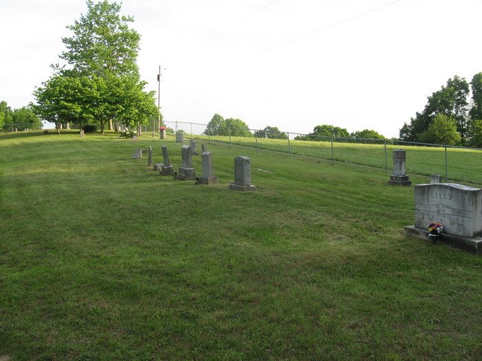
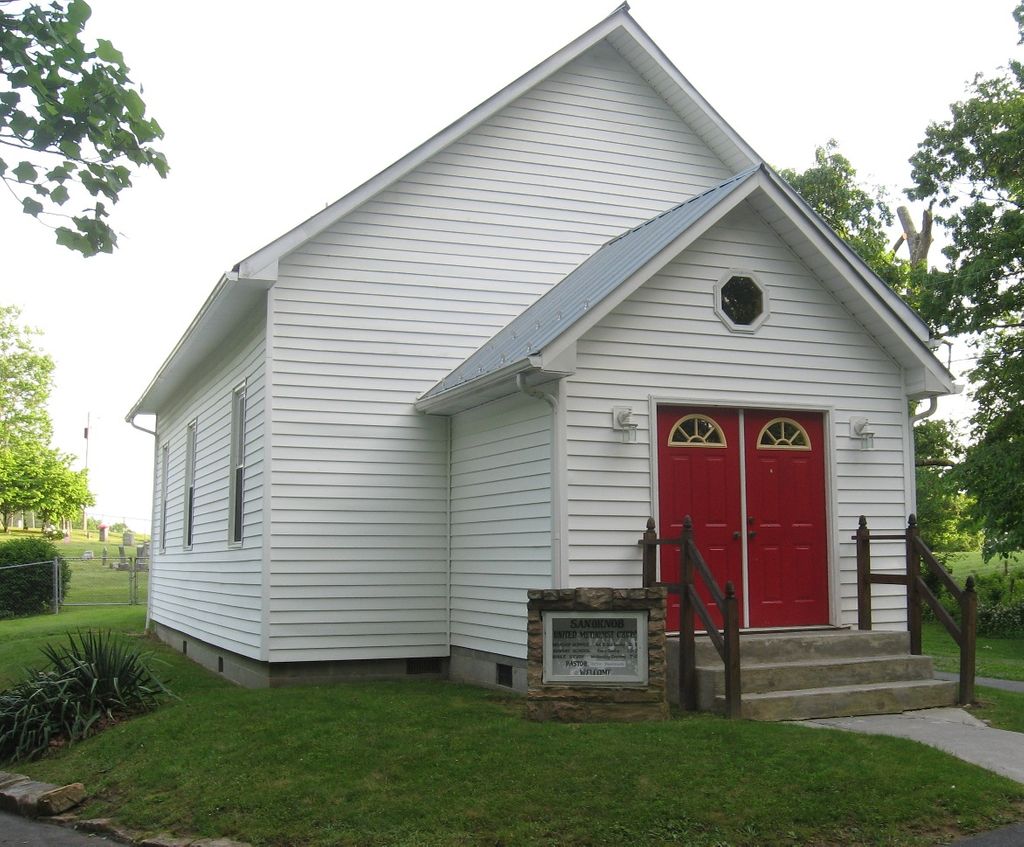
| Description | : | Sand Knob Methodist Church Cemetery orginally contained 3 (three) seperate cemeteries. One being the Hamm Family Cemetery, another being the Christian Family cemetery and last one being the regular Sand Knob Methodist Church Cemetery. A new chain link fence was installed around the cemetery in the early 1980's and the old fence that seperated these cemeteries was removed. So, the entire cemetery is now known as simply Sand Knob Methodist Church Cemetery. Any entry for burials is listed under Sand Knob Methodist Church Cemetery and not the seperate family cemeteries. But, old obituaries may refer to the family cemeteries by... Read More |
frequently asked questions (FAQ):
-
Where is Sand Knob Methodist Church Cemetery?
Sand Knob Methodist Church Cemetery is located at Sand Knob Road Nimitz, Summers County ,West Virginia ,USA.
-
Sand Knob Methodist Church Cemetery cemetery's updated grave count on graveviews.com?
5 memorials
-
Where are the coordinates of the Sand Knob Methodist Church Cemetery?
Latitude: 37.6196310
Longitude: -80.9588590
Nearby Cemetories:
1. Cadle Cemetery #1
Nimitz, Summers County, USA
Coordinate: 37.6192860, -80.9589780
2. German ODell Bolen Cemetery
Ellison Ridge, Summers County, USA
Coordinate: 37.6192860, -80.9589780
3. Tom Bolen Cemetery
Ellison Ridge, Summers County, USA
Coordinate: 37.6192860, -80.9589780
4. Harper Cemetery
Nimitz, Summers County, USA
Coordinate: 37.6075690, -80.9573360
5. John P Lilly Cemetery
Jumping Branch, Summers County, USA
Coordinate: 37.6240750, -80.9731670
6. Lilly-Crews Cemetery
Nimitz, Summers County, USA
Coordinate: 37.6334970, -80.9571920
7. Meador-Odie Cemetery
Ellison Ridge, Summers County, USA
Coordinate: 37.6307300, -80.9697710
8. Meador Cemetery
Summers County, USA
Coordinate: 37.6307750, -80.9699890
9. Pack Cemetery
Nimitz, Summers County, USA
Coordinate: 37.6195730, -80.9769460
10. George Lilly Family Cemetery
Jumping Branch, Summers County, USA
Coordinate: 37.6274540, -80.9750320
11. Bluestone State Park Cemetery
Pipestem, Summers County, USA
Coordinate: 37.6028970, -80.9612000
12. Moten Cemetery
Nimitz, Summers County, USA
Coordinate: 37.6355840, -80.9667330
13. Parker Family Cemetery
Nimitz, Summers County, USA
Coordinate: 37.6363800, -80.9465730
14. Neely Cemetery
Nimitz, Summers County, USA
Coordinate: 37.6219580, -80.9324500
15. Pauper Cemetery
Jumping Branch, Summers County, USA
Coordinate: 37.6208310, -80.9319780
16. One Arm Bill Lilly Family Cemetery
Jumping Branch, Summers County, USA
Coordinate: 37.6385242, -80.9747514
17. Fall Rock Cemetery
Ellison Ridge, Summers County, USA
Coordinate: 37.6166590, -80.9876090
18. Clowney Lilly Cemetery
Jumping Branch, Summers County, USA
Coordinate: 37.6417080, -80.9741270
19. Robin Roost Cemetery
Jumping Branch, Summers County, USA
Coordinate: 37.6426160, -80.9732660
20. Cave Ridge Cemetery
Jumping Branch, Summers County, USA
Coordinate: 37.6348580, -80.9205890
21. Dunford Family Cemetery
Jumping Branch, Summers County, USA
Coordinate: 37.6364380, -80.9996240
22. Green-Lilly Cemetery
Nimitz, Summers County, USA
Coordinate: 37.6439400, -80.9215300
23. Lilly Cemetery
Pipestem, Summers County, USA
Coordinate: 37.5833000, -80.9750000
24. Crook Cemetery
Jumping Branch, Summers County, USA
Coordinate: 37.6576840, -80.9712270


