
| Memorials | : | 0 |
| Location | : | Montgomery, Hampden County, USA |
| Coordinate | : | 42.2039261, -72.8124313 |
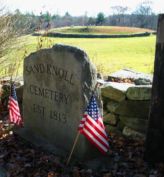
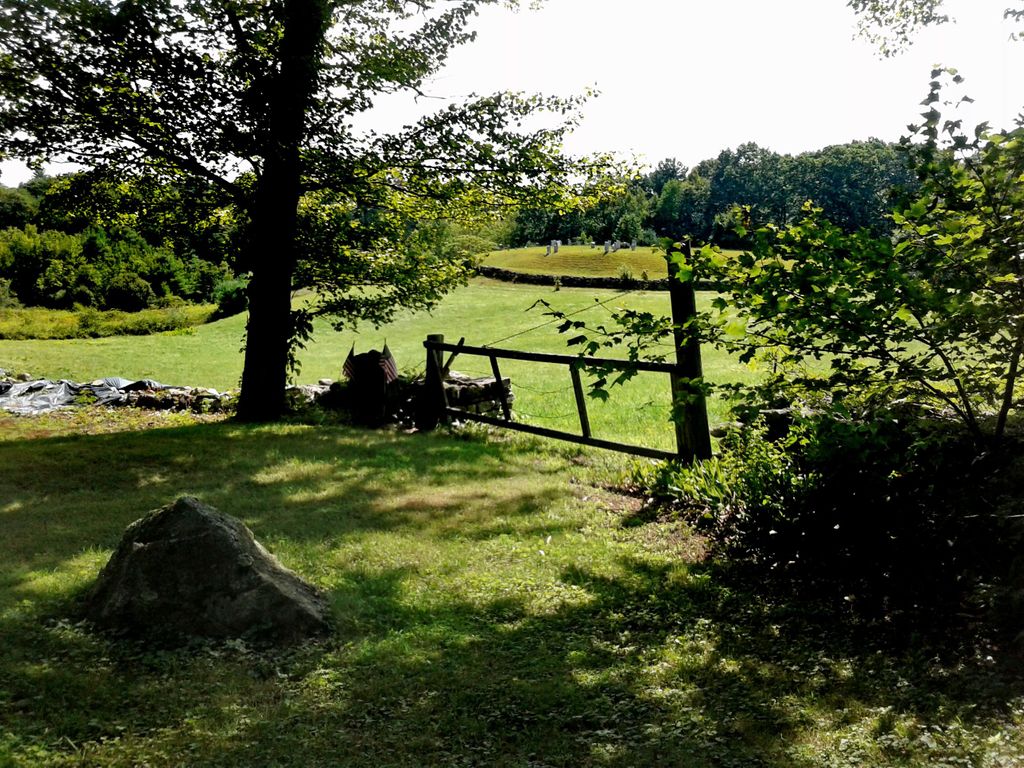
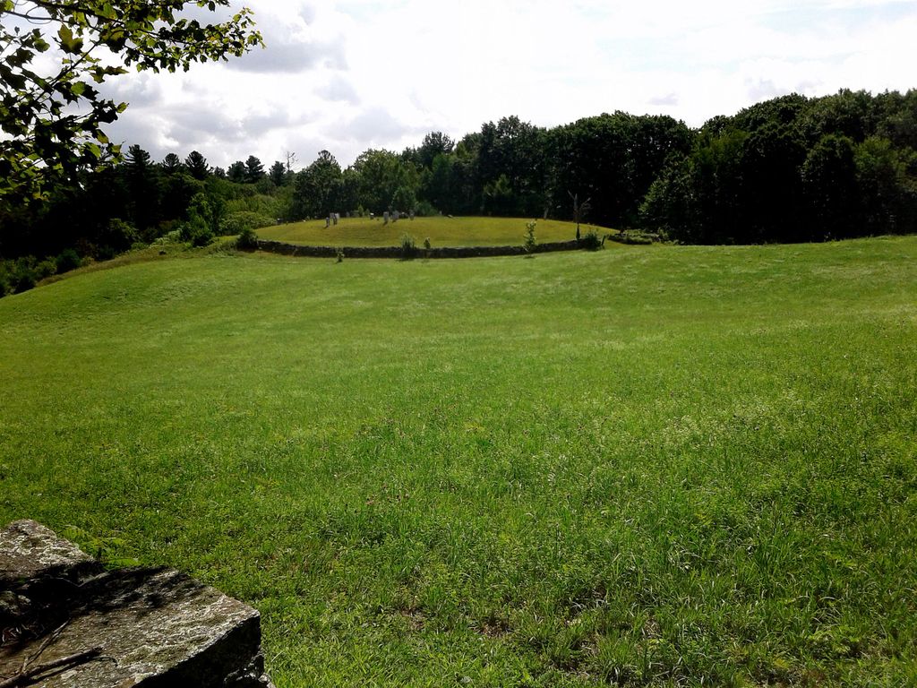
| Description | : | Sand Knoll Cemetery, laid out in 1813 (known locally as King Cow Field Cemetery). Lederer, Max., Mrs. "Tombstone inscriptions of all of the the cemeteries of the town of Montgomery, Massachusetts," typescript, 1944. (FHL microfilm 185384, Item 2. Also found in the Grace Hall Memorial Library, Montgomery, MA) |
frequently asked questions (FAQ):
-
Where is Sand Knoll Cemetery?
Sand Knoll Cemetery is located at Montgomery, Hampden County ,Massachusetts ,USA.
-
Sand Knoll Cemetery cemetery's updated grave count on graveviews.com?
0 memorials
-
Where are the coordinates of the Sand Knoll Cemetery?
Latitude: 42.2039261
Longitude: -72.8124313
Nearby Cemetories:
1. Pitcher Street Cemetery
Montgomery, Hampden County, USA
Coordinate: 42.2001260, -72.8041810
2. Center Cemetery
Montgomery, Hampden County, USA
Coordinate: 42.2117004, -72.8186035
3. Elisha Clark Cemetery
Montgomery, Hampden County, USA
Coordinate: 42.2069016, -72.8317032
4. Russell Cemetery
Russell, Hampden County, USA
Coordinate: 42.1864620, -72.8546120
5. Crescent Mills Cemetery
Russell, Hampden County, USA
Coordinate: 42.2196840, -72.8594500
6. Middle Farms Cemetery
Westfield, Hampden County, USA
Coordinate: 42.1885840, -72.7613300
7. Warner Family Cemetery
Montgomery, Hampden County, USA
Coordinate: 42.2224153, -72.8630900
8. West Cemetery
Southampton, Hampshire County, USA
Coordinate: 42.2445700, -72.7936900
9. Saint Thomas Cemetery
Huntington, Hampshire County, USA
Coordinate: 42.2265670, -72.8732530
10. Russell Pond Cemetery
Woronoco Heights, Hampden County, USA
Coordinate: 42.1577250, -72.8673900
11. Norwich Bridge Cemetery
Huntington, Hampshire County, USA
Coordinate: 42.2556000, -72.8707962
12. Center Cemetery
Southampton, Hampshire County, USA
Coordinate: 42.2345110, -72.7266280
13. Norwich Hill Cemetery
Huntington, Hampshire County, USA
Coordinate: 42.2808250, -72.8259230
14. Saint Johns Lutheran Cemetery
Westfield, Hampden County, USA
Coordinate: 42.1471660, -72.7405320
15. Saint Josephs Cemetery
Westfield, Hampden County, USA
Coordinate: 42.1542015, -72.7249985
16. Saint Marys Cemetery
Westfield, Hampden County, USA
Coordinate: 42.1472015, -72.7288971
17. West Parish Cemetery
Westfield, Hampden County, USA
Coordinate: 42.1171500, -72.8039610
18. Webster Cemetery
Chester, Hampden County, USA
Coordinate: 42.2632370, -72.9003840
19. Fisk Cemetery
Chester, Hampden County, USA
Coordinate: 42.2635600, -72.9005210
20. Eastman Cemetery
Chester, Hampden County, USA
Coordinate: 42.2639000, -72.9008000
21. Blandford Cemetery
Blandford, Hampden County, USA
Coordinate: 42.1802610, -72.9282550
22. Hill Cemetery
Blandford, Hampden County, USA
Coordinate: 42.1821530, -72.9299500
23. Pine Hill Cemetery
Westfield, Hampden County, USA
Coordinate: 42.1208000, -72.7639008
24. Old Burying Ground
Westfield, Hampden County, USA
Coordinate: 42.1234703, -72.7448578