| Memorials | : | 0 |
| Location | : | Bagnell, Miller County, USA |
| Coordinate | : | 38.2216700, -92.6001100 |
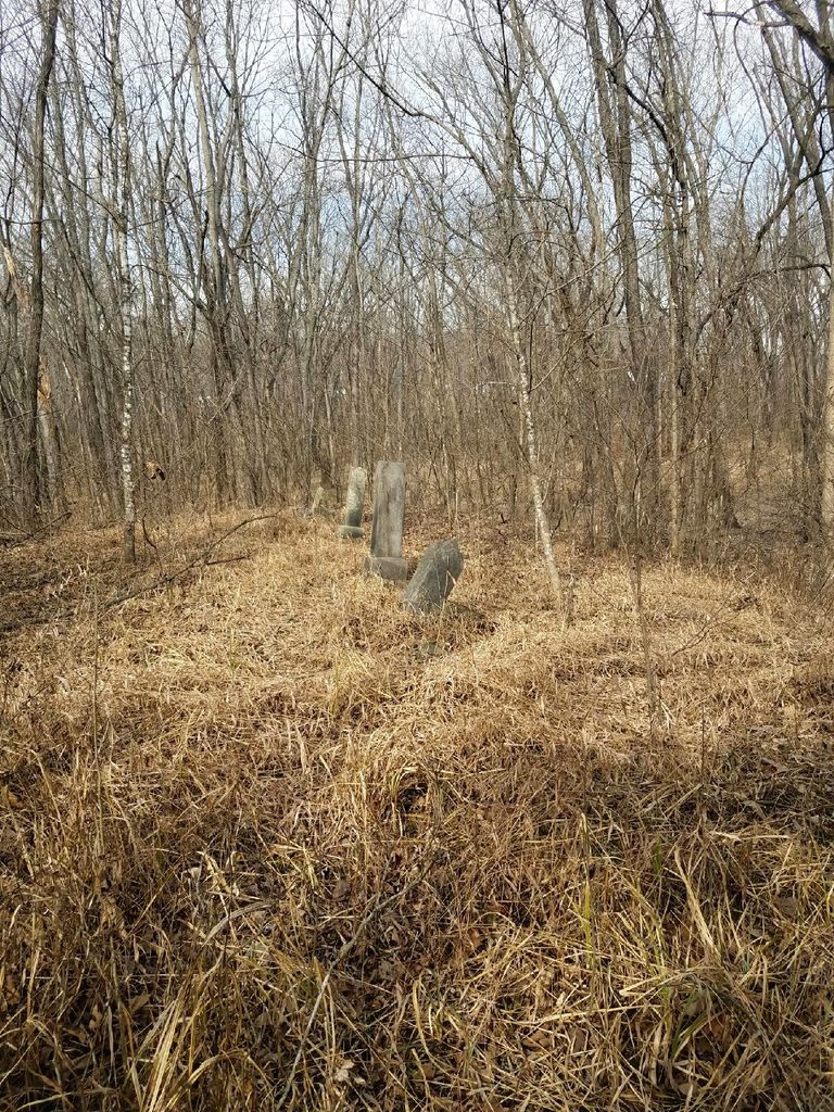
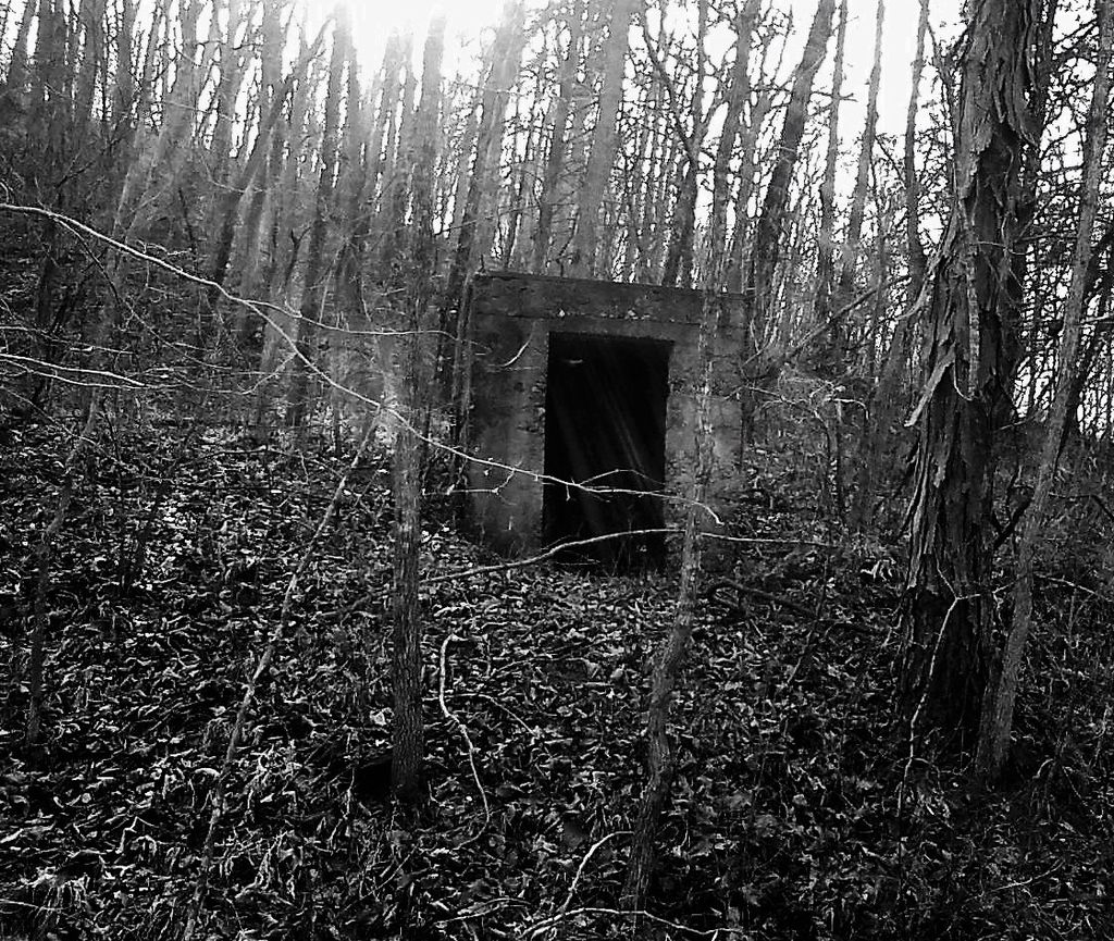
| Description | : | Take Hwy 54 to Lake of the Ozarks. At the Bagnell Dam turn off, you turn to the left on Osage Hills Road. Continue on Osage Hills Road until you pass the Club House and turn on Sanders Road going right. Stay on Sanders Road - Go until you pass a mailbox with the name of Melville. Just past the mailbox, but on the left side of the road is an old concrete storm cellar. Stop and look immediately look right to the first cemetery, probably about 100 feet down and to the left... Read More |
frequently asked questions (FAQ):
-
Where is Sander Cemetery?
Sander Cemetery is located at Bagnell, Miller County ,Missouri ,USA.
-
Sander Cemetery cemetery's updated grave count on graveviews.com?
0 memorials
-
Where are the coordinates of the Sander Cemetery?
Latitude: 38.2216700
Longitude: -92.6001100
Nearby Cemetories:
1. McComb Family Cemetery
Miller County, USA
Coordinate: 38.2115000, -92.6008000
2. Bronot Cemetery
Bagnell, Miller County, USA
Coordinate: 38.2172012, -92.5880966
3. Brandt Cemetery
Bagnell, Miller County, USA
Coordinate: 38.2174988, -92.5867004
4. Fitzgerald Cemetery
Bagnell, Miller County, USA
Coordinate: 38.2275009, -92.5749969
5. Tol-Wood Cemetery
Bagnell, Miller County, USA
Coordinate: 38.2557983, -92.5843964
6. Birdsong Cemetery
Lakeland, Miller County, USA
Coordinate: 38.2303009, -92.6457977
7. Vaughn Cemetery
Bagnell, Miller County, USA
Coordinate: 38.2577200, -92.5739900
8. Riley Lamm Cemetery
Miller County, USA
Coordinate: 38.2502800, -92.6512100
9. Jukes Cemetery
Miller County, USA
Coordinate: 38.2566986, -92.5488968
10. Henderson Cemetery
Miller County, USA
Coordinate: 38.1735992, -92.5682983
11. Kelsay Cemetery
Miller County, USA
Coordinate: 38.2663994, -92.5397034
12. Riverview Cemetery
Kaiser, Miller County, USA
Coordinate: 38.1554700, -92.6039800
13. Blue Springs Baptist Church Cemetery
Miller County, USA
Coordinate: 38.2733000, -92.6564000
14. Old Riverview Cemetery
Four Seasons, Camden County, USA
Coordinate: 38.1931000, -92.6800003
15. Colvin Cemetery
Equality Township, Miller County, USA
Coordinate: 38.1868100, -92.5239200
16. Banner Cemetery
Osage Beach, Camden County, USA
Coordinate: 38.1599998, -92.6464005
17. Skinner Cemetery
Miller County, USA
Coordinate: 38.2806015, -92.5481033
18. Blue Springs Cemetery
Eldon, Miller County, USA
Coordinate: 38.2778015, -92.6603012
19. Houston Cemetery
Four Seasons, Camden County, USA
Coordinate: 38.1996994, -92.6903000
20. Colvin Cemetery
Kaiser, Miller County, USA
Coordinate: 38.1507988, -92.5693970
21. Downing Cemetery
Four Seasons, Camden County, USA
Coordinate: 38.1991997, -92.6911011
22. Zebra Cemetery
Osage Beach, Camden County, USA
Coordinate: 38.1467700, -92.6215800
23. Scott Cemetery
Tuscumbia, Miller County, USA
Coordinate: 38.2008018, -92.5056000
24. Anderson Cemetery
Four Seasons, Camden County, USA
Coordinate: 38.1775017, -92.6836014


